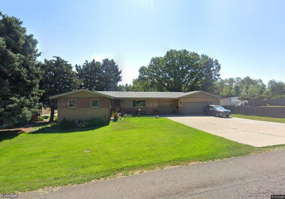
2920 Jay St Wheat Ridge, CO 80214
Barths NeighborhoodEstimated Value: $622,000 - $838,000
5
Beds
3
Baths
1,460
Sq Ft
$490/Sq Ft
Est. Value
About This Home
This home is located at 2920 Jay St, Wheat Ridge, CO 80214 and is currently estimated at $715,486, approximately $490 per square foot. 2920 Jay St is a home located in Jefferson County with nearby schools including Lumberg Elementary School, Mountain Phoenix Community School, and Ricardo Flores Magon Academy.
Ownership History
Date
Name
Owned For
Owner Type
Purchase Details
Closed on
Jul 9, 2025
Sold by
Vanscoyk Martin W and Vanscoyk Van Scoyk
Bought by
Vanscoyk Martin W and Vanscoyk Van Scoyk
Current Estimated Value
Purchase Details
Closed on
Jun 23, 2020
Sold by
Scoyk Martin W Van
Bought by
Scoyk Martin W Van and Scoyk Janet A
Purchase Details
Closed on
Mar 10, 2013
Sold by
Vanscoyk Martin W
Bought by
Vanscoyk Martin W and Van Scoyk Janet A
Purchase Details
Closed on
Mar 9, 2013
Sold by
Vanscoyk Martin W
Bought by
Vanscoyk Martin W
Purchase Details
Closed on
Jun 23, 1998
Sold by
Vanscoyk Merlin W
Bought by
Vanscoyk Merlin W
Create a Home Valuation Report for This Property
The Home Valuation Report is an in-depth analysis detailing your home's value as well as a comparison with similar homes in the area
Home Values in the Area
Average Home Value in this Area
Purchase History
| Date | Buyer | Sale Price | Title Company |
|---|---|---|---|
| Vanscoyk Martin W | -- | None Listed On Document | |
| Scoyk Martin W Van | -- | None Available | |
| Vanscoyk Martin W | -- | None Available | |
| Vanscoyk Martin W | -- | None Available | |
| Vanscoyk Martin W | -- | None Available | |
| Vanscoyk Martin W | -- | None Available | |
| Vanscoyk Merlin W | -- | -- |
Source: Public Records
Tax History Compared to Growth
Tax History
| Year | Tax Paid | Tax Assessment Tax Assessment Total Assessment is a certain percentage of the fair market value that is determined by local assessors to be the total taxable value of land and additions on the property. | Land | Improvement |
|---|---|---|---|---|
| 2024 | $4,277 | $48,922 | $21,266 | $27,656 |
| 2023 | $4,277 | $48,922 | $21,266 | $27,656 |
| 2022 | $3,645 | $40,944 | $20,566 | $20,378 |
| 2021 | $3,696 | $42,122 | $21,158 | $20,964 |
| 2020 | $3,286 | $37,645 | $17,954 | $19,691 |
| 2019 | $3,242 | $37,645 | $17,954 | $19,691 |
| 2018 | $3,221 | $36,150 | $13,234 | $22,916 |
| 2017 | $2,909 | $36,150 | $13,234 | $22,916 |
| 2016 | $2,581 | $30,012 | $8,488 | $21,524 |
| 2015 | $1,308 | $30,012 | $8,488 | $21,524 |
| 2014 | $2,234 | $0 | $0 | $0 |
Source: Public Records
Map
Nearby Homes
- 6000 W 29th Ave
- 2890 N Harlan St Unit 102
- 2777 Kendall St
- 6500 W 32nd Ave
- 3022 Fenton St
- 2570 Jay St
- 2598 Harlan St Unit 1
- 2590 Gray St
- 3342 Marshall St
- 6795 W 31st Ave
- 3019 Chase St
- 2568 Eaton St
- 2577 Depew St
- 2933 Benton St
- 2591 - 2597 Pierce St
- 2834 Benton St
- 2565 Pierce St
- 3515 Gray St
- 3530 Fenton St
- 3100 Ames St