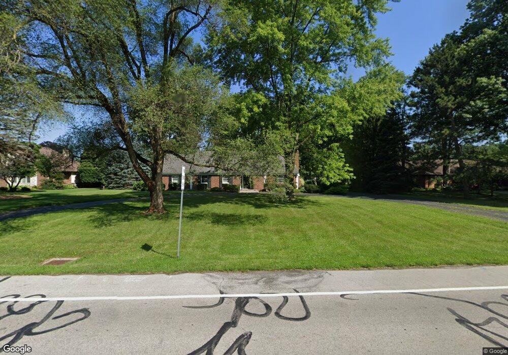
2920 Manley Rd Maumee, OH 43537
Estimated Value: $345,000 - $424,000
3
Beds
3
Baths
3,089
Sq Ft
$128/Sq Ft
Est. Value
About This Home
This home is located at 2920 Manley Rd, Maumee, OH 43537 and is currently estimated at $394,722, approximately $127 per square foot. 2920 Manley Rd is a home located in Lucas County with nearby schools including Holloway Elementary School, Springfield Middle School, and Springfield High School.
Ownership History
Date
Name
Owned For
Owner Type
Purchase Details
Closed on
Aug 6, 2004
Sold by
Jachimiak Thomas R
Bought by
Kudner Donald T and Kudner Rebecca F
Current Estimated Value
Home Financials for this Owner
Home Financials are based on the most recent Mortgage that was taken out on this home.
Original Mortgage
$172,000
Interest Rate
5.5%
Mortgage Type
Purchase Money Mortgage
Purchase Details
Closed on
Oct 19, 1999
Sold by
Jachimiak Lillian H
Bought by
Jachimiak Thomas R
Create a Home Valuation Report for This Property
The Home Valuation Report is an in-depth analysis detailing your home's value as well as a comparison with similar homes in the area
Home Values in the Area
Average Home Value in this Area
Purchase History
| Date | Buyer | Sale Price | Title Company |
|---|---|---|---|
| Kudner Donald T | $215,000 | -- | |
| Jachimiak Thomas R | -- | -- |
Source: Public Records
Mortgage History
| Date | Status | Borrower | Loan Amount |
|---|---|---|---|
| Closed | Kudner Donald T | $172,000 | |
| Closed | Kudner Donald T | $43,000 |
Source: Public Records
Tax History
| Year | Tax Paid | Tax Assessment Tax Assessment Total Assessment is a certain percentage of the fair market value that is determined by local assessors to be the total taxable value of land and additions on the property. | Land | Improvement |
|---|---|---|---|---|
| 2025 | -- | $106,610 | $38,745 | $67,865 |
| 2024 | $3,211 | $106,610 | $38,745 | $67,865 |
| 2023 | $6,961 | $101,255 | $35,385 | $65,870 |
| 2022 | $6,963 | $101,255 | $35,385 | $65,870 |
| 2021 | $6,543 | $101,255 | $35,385 | $65,870 |
| 2020 | $6,243 | $87,640 | $29,575 | $58,065 |
| 2019 | $6,097 | $87,640 | $29,575 | $58,065 |
| 2018 | $5,746 | $87,640 | $29,575 | $58,065 |
| 2017 | $5,447 | $72,940 | $32,655 | $40,285 |
| 2016 | $5,497 | $208,400 | $93,300 | $115,100 |
| 2015 | $5,487 | $208,400 | $93,300 | $115,100 |
| 2014 | $4,925 | $70,150 | $31,400 | $38,750 |
| 2013 | $4,925 | $70,150 | $31,400 | $38,750 |
Source: Public Records
Map
Nearby Homes
- 6640 Salisbury Rd
- 6661 Brick Yard Ct
- 6652 Sue Ln
- 6655 Garden Rd Unit 6655
- 6731 Garden Rd Unit Building 2
- 6708 Buck Creek Dr
- 3407 Manley Rd
- 6744 W Meadows Ln
- 2437 Knights Hill Ln
- 3339 Swan Ridge Ln
- 6856 Morningdew Blvd
- 7223 Hunters Chase
- 2312 Ashton Ct
- 2107 Bromford Rd
- 7009 Shadowcreek Dr
- 3360 Stillwater Blvd
- 2001 Perrysburg Holland Rd
- 2024 Inglewood Rd
- 7407 Lock Mill Ct
- 5741 Heatherbank Rd
- 2930 Manley Rd
- 2904 Manley Rd
- 2866 Manley Rd
- 2919 Manley Rd
- 6747 Mill Ridge Rd
- 6759 Mill Ridge Rd
- 2907 Manley Rd
- 2931 Manley Rd
- 2869 Manley Rd
- 2850 Manley Rd
- 2947 Manley Rd
- 6737 Mill Ridge Rd
- 2857 Manley Rd
- 2961 Manley Rd
- 6760 Mill Ridge Rd
- 2836 Manley Rd
- 2845 Manley Rd
- 6729 Mill Ridge Rd
- 0 Coder Rd
- 6712 Mill Ridge Rd
Your Personal Tour Guide
Ask me questions while you tour the home.