2920 N Bay Dr Westlake, OH 44145
Estimated Value: $171,804 - $198,000
2
Beds
2
Baths
1,135
Sq Ft
$162/Sq Ft
Est. Value
About This Home
This home is located at 2920 N Bay Dr, Westlake, OH 44145 and is currently estimated at $183,451, approximately $161 per square foot. 2920 N Bay Dr is a home located in Cuyahoga County with nearby schools including Dover Intermediate School, Lee Burneson Middle School, and Westlake High School.
Ownership History
Date
Name
Owned For
Owner Type
Purchase Details
Closed on
Jun 27, 2005
Sold by
Mangla Asham R and Mangla Ashamk R
Bought by
Evilsizer Brian and Evilsizer Suzanne
Current Estimated Value
Home Financials for this Owner
Home Financials are based on the most recent Mortgage that was taken out on this home.
Original Mortgage
$104,500
Outstanding Balance
$55,288
Interest Rate
5.87%
Mortgage Type
Fannie Mae Freddie Mac
Estimated Equity
$128,163
Purchase Details
Closed on
Jun 28, 1993
Sold by
Mangla Pawan K
Bought by
Mangla Asham R
Purchase Details
Closed on
Aug 6, 1986
Bought by
Mangla Pawan K
Purchase Details
Closed on
Jan 1, 1986
Bought by
Lake Communities Ltd
Create a Home Valuation Report for This Property
The Home Valuation Report is an in-depth analysis detailing your home's value as well as a comparison with similar homes in the area
Home Values in the Area
Average Home Value in this Area
Purchase History
| Date | Buyer | Sale Price | Title Company |
|---|---|---|---|
| Evilsizer Brian | $110,000 | Mcta | |
| Mangla Asham R | -- | -- | |
| Mangla Pawan K | $64,900 | -- | |
| Lake Communities Ltd | -- | -- |
Source: Public Records
Mortgage History
| Date | Status | Borrower | Loan Amount |
|---|---|---|---|
| Open | Evilsizer Brian | $104,500 |
Source: Public Records
Tax History Compared to Growth
Tax History
| Year | Tax Paid | Tax Assessment Tax Assessment Total Assessment is a certain percentage of the fair market value that is determined by local assessors to be the total taxable value of land and additions on the property. | Land | Improvement |
|---|---|---|---|---|
| 2024 | $2,156 | $45,500 | $4,305 | $41,195 |
| 2023 | $1,829 | $33,010 | $3,290 | $29,720 |
| 2022 | $1,800 | $33,010 | $3,290 | $29,720 |
| 2021 | $1,802 | $33,010 | $3,290 | $29,720 |
| 2020 | $1,394 | $23,420 | $2,350 | $21,070 |
| 2019 | $1,351 | $66,900 | $6,700 | $60,200 |
| 2018 | $1,357 | $23,420 | $2,350 | $21,070 |
| 2017 | $1,452 | $23,560 | $3,150 | $20,410 |
| 2016 | $1,444 | $23,560 | $3,150 | $20,410 |
| 2015 | $1,618 | $23,560 | $3,150 | $20,410 |
| 2014 | $1,618 | $25,910 | $3,470 | $22,440 |
Source: Public Records
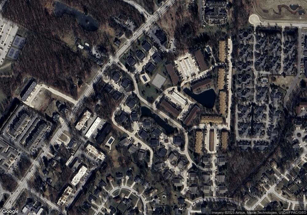
Map
Nearby Homes
- 2897 N Bay Dr Unit M4
- 2995 N Bay Dr Unit I14
- 2820 N Bay Dr
- 3263 Bay Landing Dr Unit 27
- 3247 Bay Landing Dr Unit 31
- 3115 Bay Landing Dr Unit 3115
- 26814 Center Ridge Rd
- 28080 Center Ridge Rd
- 28340 Center Ridge Rd Unit 123
- 27120 Rose Rd
- 3450 Briar Ridge Ct Unit F
- 28276 Hallberg Dr
- 28282 Hallberg Dr
- 28264 Hallberg Dr
- #1 Fifth Ave
- 3107 Clark Pkwy
- 29053 W Brockway Dr
- 2965 Creekside Dr
- 3781 Dover Center Rd
- 3732 Greenbriar Cir
- 2940 N Bay Dr
- 2940 N Bay Dr
- 2940 N Bay Dr
- 2920 N Bay Dr
- 2940 N Bay Dr
- 2920 N Bay Dr
- 2920 N Bay Dr
- 2940 N Bay Dr
- 2920 S Bay Dr Unit K9
- 2920 S Bay Dr
- 2920 S Bay Dr
- 2920 S Bay Dr
- 2920 S Bay Dr Unit K10
- 2940 S Bay Dr
- 2940 S Bay Dr
- 2940 S Bay Dr
- 2940 S Bay Dr Unit K7
- 2940 S Bay Dr Unit K8
- 2940 S Bay Dr Unit OK8
- 2960 S Bay Dr Unit J14