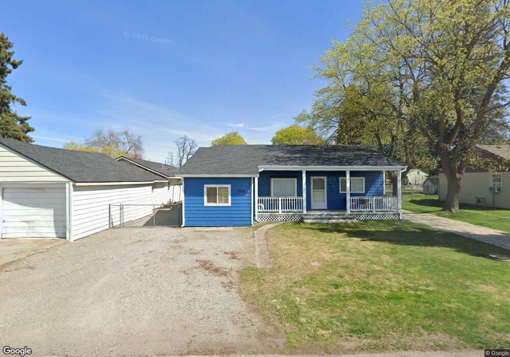
2920 N Dale Rd Spokane, WA 99212
Estimated Value: $310,022 - $343,000
3
Beds
2
Baths
1,406
Sq Ft
$234/Sq Ft
Est. Value
About This Home
This home is located at 2920 N Dale Rd, Spokane, WA 99212 and is currently estimated at $329,006, approximately $234 per square foot. 2920 N Dale Rd is a home located in Spokane County with nearby schools including Orchard Center Elementary, Centennial Middle School, and West Valley High School.
Ownership History
Date
Name
Owned For
Owner Type
Purchase Details
Closed on
Apr 26, 2004
Sold by
Gustin Lillian Deanna and Dean John Gibson
Bought by
Lovett Charles
Current Estimated Value
Home Financials for this Owner
Home Financials are based on the most recent Mortgage that was taken out on this home.
Original Mortgage
$83,751
Outstanding Balance
$38,853
Interest Rate
5.35%
Mortgage Type
FHA
Estimated Equity
$290,153
Create a Home Valuation Report for This Property
The Home Valuation Report is an in-depth analysis detailing your home's value as well as a comparison with similar homes in the area
Home Values in the Area
Average Home Value in this Area
Purchase History
| Date | Buyer | Sale Price | Title Company |
|---|---|---|---|
| Lovett Charles | $84,500 | Pacific Nw Title |
Source: Public Records
Mortgage History
| Date | Status | Borrower | Loan Amount |
|---|---|---|---|
| Open | Lovett Charles | $83,751 |
Source: Public Records
Tax History Compared to Growth
Tax History
| Year | Tax Paid | Tax Assessment Tax Assessment Total Assessment is a certain percentage of the fair market value that is determined by local assessors to be the total taxable value of land and additions on the property. | Land | Improvement |
|---|---|---|---|---|
| 2025 | $3,317 | $340,700 | $105,000 | $235,700 |
| 2024 | $3,317 | $309,900 | $80,000 | $229,900 |
| 2023 | $2,960 | $300,800 | $80,000 | $220,800 |
| 2022 | $2,591 | $290,400 | $80,000 | $210,400 |
| 2021 | $2,623 | $200,380 | $34,980 | $165,400 |
| 2020 | $2,409 | $164,280 | $34,980 | $129,300 |
| 2019 | $2,034 | $153,580 | $34,980 | $118,600 |
| 2018 | $2,528 | $158,280 | $34,980 | $123,300 |
| 2017 | $1,632 | $103,400 | $30,000 | $73,400 |
| 2016 | $1,586 | $98,900 | $30,000 | $68,900 |
| 2015 | $1,603 | $98,100 | $30,000 | $68,100 |
| 2014 | -- | $93,200 | $30,000 | $63,200 |
| 2013 | -- | $0 | $0 | $0 |
Source: Public Records
Map
Nearby Homes
- 9014 E Frederick Ave
- 2822 N Stout Rd
- 8928 E South Riverway Ave
- 8319 E Liberty Ave
- 3019 N Locust Rd
- 2715 N Boeing Rd
- 8020 E Marietta Ave
- 3417 N Elton Rd
- 8209 E Knox Ave
- 2502 N Ella Rd
- 2105 N Sipple Rd
- 4107 N Bessie Rd
- 9116 E Lacrosse Ln
- 3704 N Center Rd
- 7518 E Bridgeport Ave
- 8101 E Baldwin Ave
- 4217 N Locust Rd
- 9820 E Knox Ave
- 1719 N Willow Rd
- 3924 N Sunderland Ct
- 2920 N Dale Ln
- 3020 N Dale Ln
- 2918 N Dale Rd
- 3020 N Dale Rd
- 8810 E Frederick Ave
- 2916 N Dale Rd
- 3013 N Marguerite Rd
- 3011 N Marguerite Rd
- 3015 N Marguerite Rd
- 2919 N Dale Ln
- 8712 E Frederick Ave
- 3019 N Dale Rd
- 3007 N Marguerite Rd
- 3019 N Marguerite Rd
- 2919 N Dale Rd
- 3002 N Dale Rd
- 8708 E Frederick Ave
- 2915 N Marguerite Rd
- 8809 E Frederick Ave
- 8801 E Frederick Ave