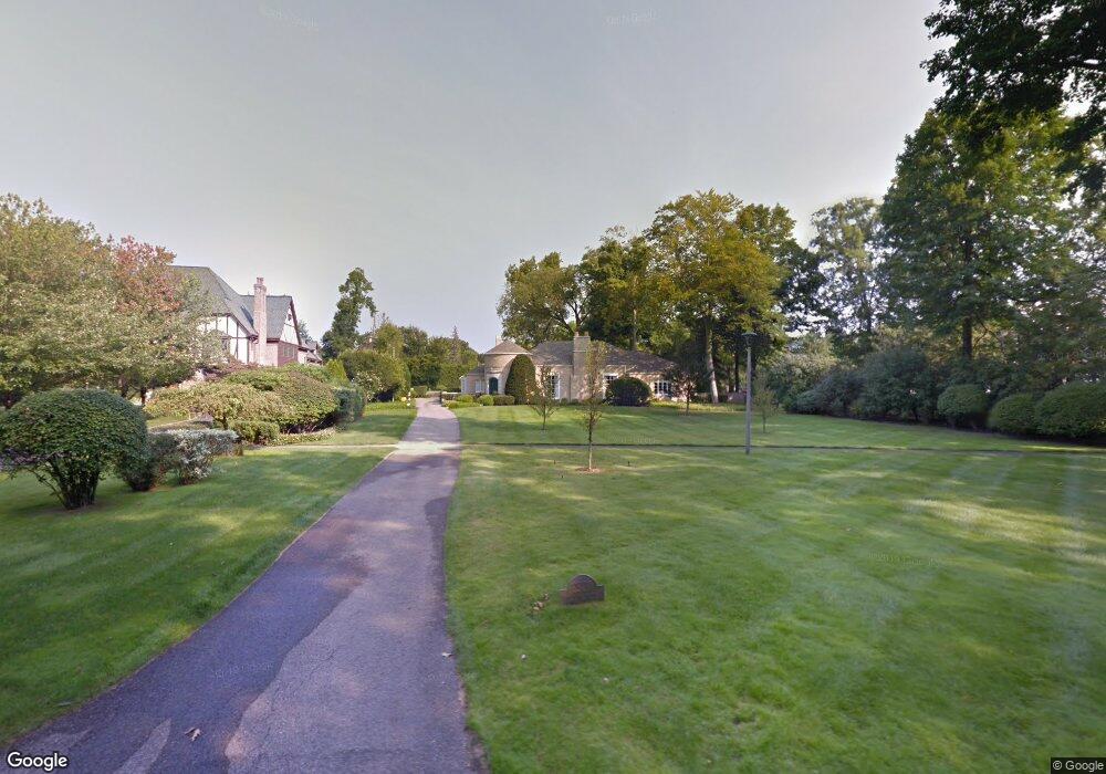
2920 Parkside Dr Flint, MI 48503
Woodcroft Estates NeighborhoodEstimated Value: $342,993 - $428,000
2
Beds
4
Baths
3,284
Sq Ft
$115/Sq Ft
Est. Value
About This Home
This home is located at 2920 Parkside Dr, Flint, MI 48503 and is currently estimated at $378,748, approximately $115 per square foot. 2920 Parkside Dr is a home located in Genesee County with nearby schools including Durant-Tuuri-Mott Elementary School, Flint Southwestern Classical Academy, and St. Paul Lutheran School.
Ownership History
Date
Name
Owned For
Owner Type
Purchase Details
Closed on
Mar 19, 2010
Sold by
Moore Henry Iii John Bailey and Moore Henry Janice L
Bought by
Moore Henry Iii John Bailey and Moore Henry Janice L
Current Estimated Value
Purchase Details
Closed on
Jul 15, 2009
Sold by
Piper Judy W and Judy W Piper Revocable Trust
Bought by
Henry John B and Henry Janice M
Purchase Details
Closed on
Apr 20, 2001
Sold by
Piper Robert S and Piper Judy W
Bought by
Piper Judy W and Piper Robert S
Create a Home Valuation Report for This Property
The Home Valuation Report is an in-depth analysis detailing your home's value as well as a comparison with similar homes in the area
Home Values in the Area
Average Home Value in this Area
Purchase History
| Date | Buyer | Sale Price | Title Company |
|---|---|---|---|
| Moore Henry Iii John Bailey | -- | None Available | |
| Henry John B | $166,500 | Lighthouse Title Inc | |
| Piper Judy W | -- | Stewart Title Guaranty Compa |
Source: Public Records
Tax History
| Year | Tax Paid | Tax Assessment Tax Assessment Total Assessment is a certain percentage of the fair market value that is determined by local assessors to be the total taxable value of land and additions on the property. | Land | Improvement |
|---|---|---|---|---|
| 2025 | $4,345 | $198,100 | $0 | $0 |
| 2024 | $3,819 | $188,100 | $0 | $0 |
| 2023 | $3,684 | $180,100 | $0 | $0 |
| 2022 | $0 | $161,900 | $0 | $0 |
| 2021 | $3,908 | $149,000 | $0 | $0 |
| 2020 | $3,406 | $134,600 | $0 | $0 |
| 2019 | $3,244 | $131,200 | $0 | $0 |
| 2018 | $3,500 | $125,200 | $0 | $0 |
| 2017 | $3,374 | $0 | $0 | $0 |
| 2016 | $3,346 | $0 | $0 | $0 |
| 2015 | -- | $0 | $0 | $0 |
| 2014 | -- | $0 | $0 | $0 |
| 2012 | -- | $72,100 | $0 | $0 |
Source: Public Records
Map
Nearby Homes
- 3102 Westwood Pkwy
- 1555 Bradley Ave
- 2729 Chicago Blvd
- 3402 Brandon St
- 3205 Clairmont St
- 3310 Larchmont St
- 3506 Chicago Blvd
- 3510 Hogarth Ave
- 3217 Arlene Ave
- 3317 Arlene Ave
- 1836 Willowbrook Cir
- 2618 Brown St
- 4202 Park Forest Dr
- 1114 Clancy Ave
- 2537 Swayze St
- 1933 Greenbriar Ln
- 2115 Radcliffe Ave
- 2433 Brown St
- 1308 Barney Ave
- 2805 Reynolds St
- 2938 Parkside Dr
- 2906 Parkside Dr
- 2901 Westwood Pkwy
- 2015 Colchester Rd
- 2952 Parkside Dr
- 2834 Parkside Dr
- 2001 Colchester Rd
- 2821 Westwood Pkwy
- 2811 Westwood Pkwy
- 3001 Westwood Pkwy
- 2020 Hampden Rd
- 2810 Parkside Dr
- 2030 Hampden Rd
- 2910 Westwood Pkwy
- 2902 Westwood Pkwy
- 3002 Parkside Dr
- 2820 Westwood Pkwy
- 3000 Westwood Pkwy
- 3031 Westwood Pkwy
- 1950 Colchester Rd
Your Personal Tour Guide
Ask me questions while you tour the home.