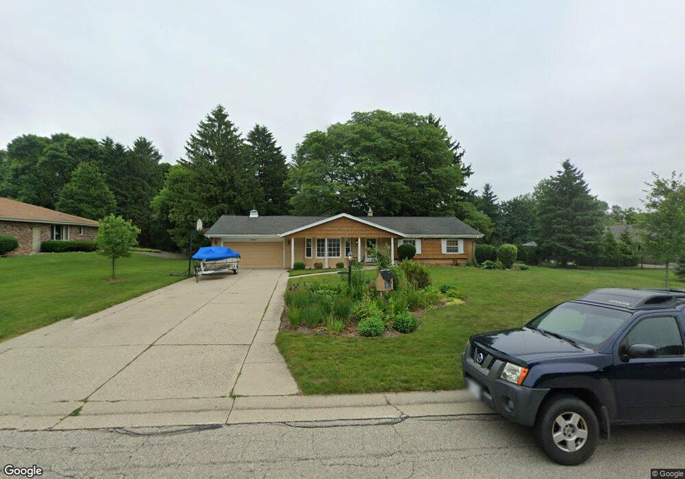
2920 San Gabriel Dr Brookfield, WI 53005
Estimated Value: $523,091 - $605,000
3
Beds
4
Baths
2,040
Sq Ft
$271/Sq Ft
Est. Value
About This Home
This home is located at 2920 San Gabriel Dr, Brookfield, WI 53005 and is currently estimated at $552,773, approximately $270 per square foot. 2920 San Gabriel Dr is a home located in Waukesha County with nearby schools including Dixon Elementary School, Pilgrim Park Middle School, and Brookfield East High School.
Ownership History
Date
Name
Owned For
Owner Type
Purchase Details
Closed on
May 25, 2005
Sold by
Cowell Richard J
Bought by
Baas Steve and Baas Mary Jo
Current Estimated Value
Home Financials for this Owner
Home Financials are based on the most recent Mortgage that was taken out on this home.
Original Mortgage
$121,000
Interest Rate
5.91%
Mortgage Type
Fannie Mae Freddie Mac
Purchase Details
Closed on
Feb 3, 2003
Sold by
Boritzke John D and Evans George A
Bought by
Cowell Richard J
Create a Home Valuation Report for This Property
The Home Valuation Report is an in-depth analysis detailing your home's value as well as a comparison with similar homes in the area
Home Values in the Area
Average Home Value in this Area
Purchase History
| Date | Buyer | Sale Price | Title Company |
|---|---|---|---|
| Baas Steve | $301,000 | -- | |
| Cowell Richard J | -- | -- |
Source: Public Records
Mortgage History
| Date | Status | Borrower | Loan Amount |
|---|---|---|---|
| Closed | Baas Steve | $121,000 |
Source: Public Records
Tax History Compared to Growth
Tax History
| Year | Tax Paid | Tax Assessment Tax Assessment Total Assessment is a certain percentage of the fair market value that is determined by local assessors to be the total taxable value of land and additions on the property. | Land | Improvement |
|---|---|---|---|---|
| 2024 | $4,700 | $424,000 | $135,000 | $289,000 |
| 2023 | $4,698 | $424,000 | $135,000 | $289,000 |
| 2022 | $4,545 | $321,600 | $140,000 | $181,600 |
| 2021 | $4,810 | $321,600 | $140,000 | $181,600 |
| 2020 | $5,031 | $321,600 | $140,000 | $181,600 |
| 2019 | $4,828 | $321,600 | $140,000 | $181,600 |
| 2018 | $4,746 | $307,100 | $130,000 | $177,100 |
| 2017 | $4,755 | $307,100 | $130,000 | $177,100 |
| 2016 | $4,823 | $307,100 | $130,000 | $177,100 |
| 2015 | $4,799 | $307,100 | $130,000 | $177,100 |
| 2014 | $4,978 | $307,100 | $130,000 | $177,100 |
| 2013 | $4,978 | $307,100 | $130,000 | $177,100 |
Source: Public Records
Map
Nearby Homes
- 2925 San Gabriel Dr
- 14910 Pomona Rd
- 3085 Santa Barbara Dr
- 3025 Smith Dr
- 15555 Esser Ct
- 15300 Fieldstone Dr
- 15800 Sky Cliff Dr
- 14225 Forest View Ln
- 2600 Brookside Ln
- 2455 Mound Zion Woods Ct
- 2415 Walnut Grove Ct Unit B
- 15260 Marilyn Dr
- 15640 Brookhill Dr Unit 176984
- 15935 Hill Ct
- 16570 W North Ave
- 14625 Club Dr
- 1955 Melody Ln
- Lt2 Capitol Dr
- 2040 San Fernando Dr
- 15170 Gebhardt Rd
- 2940 San Gabriel Dr
- 15100 Pomona Rd
- 15060 Pomona Rd
- 2945 San Raphael Dr
- 15105 Santa Maria Dr
- 15005 San Raphael Dr
- 15170 Pomona Rd
- 2945 San Gabriel Dr
- 15165 Santa Maria Dr
- 15055 Santa Maria Dr
- 15105 Pomona Rd
- 15065 Pomona Rd
- 15145 Pomona Rd
- 2910 Pomona Ct
- 14975 San Raphael Dr
- 14980 Pomona Rd
- 2930 Pomona Ct
- 15035 Pomona Rd
- 15175 Pomona Rd
- 15205 Santa Maria Dr