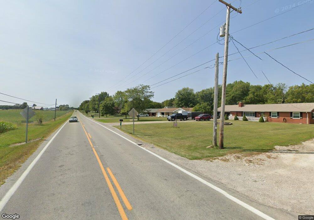
2920 State Route 665 London, OH 43140
Estimated Value: $308,000 - $447,000
3
Beds
2
Baths
2,480
Sq Ft
$149/Sq Ft
Est. Value
About This Home
This home is located at 2920 State Route 665, London, OH 43140 and is currently estimated at $370,302, approximately $149 per square foot. 2920 State Route 665 is a home located in Madison County with nearby schools including Madison-Plains Elementary School, Madison-Plains Intermediate School, and Madison-Plains Junior High School.
Ownership History
Date
Name
Owned For
Owner Type
Purchase Details
Closed on
Mar 4, 2022
Sold by
Walters Joint Revocable Trust
Bought by
Walters Joint Revocable Trust
Current Estimated Value
Purchase Details
Closed on
Sep 24, 2003
Sold by
Walters Leslie A and Walters Martina A
Bought by
Walters Leslie A and Walters Martina A
Create a Home Valuation Report for This Property
The Home Valuation Report is an in-depth analysis detailing your home's value as well as a comparison with similar homes in the area
Home Values in the Area
Average Home Value in this Area
Purchase History
| Date | Buyer | Sale Price | Title Company |
|---|---|---|---|
| Walters Joint Revocable Trust | -- | None Listed On Document | |
| Walters Leslie A | -- | Midland Title |
Source: Public Records
Tax History Compared to Growth
Tax History
| Year | Tax Paid | Tax Assessment Tax Assessment Total Assessment is a certain percentage of the fair market value that is determined by local assessors to be the total taxable value of land and additions on the property. | Land | Improvement |
|---|---|---|---|---|
| 2024 | $2,848 | $84,290 | $13,560 | $70,730 |
| 2023 | $2,848 | $84,290 | $13,560 | $70,730 |
| 2022 | $2,775 | $69,990 | $11,270 | $58,720 |
| 2021 | $2,646 | $69,990 | $11,270 | $58,720 |
| 2020 | $2,649 | $69,990 | $11,270 | $58,720 |
| 2019 | $2,375 | $64,750 | $11,740 | $53,010 |
| 2018 | $2,376 | $64,750 | $11,740 | $53,010 |
| 2017 | $1,788 | $64,750 | $11,740 | $53,010 |
| 2016 | $1,788 | $55,200 | $11,740 | $43,460 |
| 2015 | $1,787 | $55,200 | $11,740 | $43,460 |
| 2014 | $1,787 | $55,200 | $11,740 | $43,460 |
| 2013 | -- | $52,730 | $11,740 | $40,990 |
Source: Public Records
Map
Nearby Homes
- 2880 State Route 665
- 233 Maddox Dr
- 620 Lois Ln
- 3650 Wood Ln
- 4440 Deer Creek Ln
- 0 Park Ln
- 321 Bishop Dr
- 103 Andrew Ct E
- 473 Samantha Cir Unit 53
- 438 Samantha Cir Unit 3
- 1028 Amherst Blvd
- 1039 Amherst Blvd
- 15 Stewart Ave
- 6 Stewart Ave
- 0 Keny Blvd Unit 225008830
- 1070 Wilshire Ct
- 1063 Hartford Ln
- 205 Lafayette St
- 154 E High St
- 1095 Hartford Ln
- 2930 State Route 665
- 2900 State Route 665
- 2950 State Route 665
- 2970 State Route 665
- 2970 Ohio 665
- 2860 State Route 665
- 15 Acres State Route 38
- 20 Acres Old Xenia Rd
- 0 Taylor Blair Rd Unit 2755238
- 0 State Route 665 Unit Lot 2 2714874
- 0 State Route 665 Unit Lot 1 2714860
- 0 Taylor Blair Rd Unit 2659000
- 0 Taylor Blair Rd Unit 2732597
- 0 State Route 665 Unit Lot 4 2714876
- 0 State Route 665 Unit Lot 3 2714875
- 0 Taylor Blair Rd Unit 2017353
- 0 Spring Valley Unit 63693
- 0 Taylor Blair Rd Unit 9908856
- 0 Taylor Blair Rd Unit 9916500
- 0 Taylor Blair Rd Unit 9916495