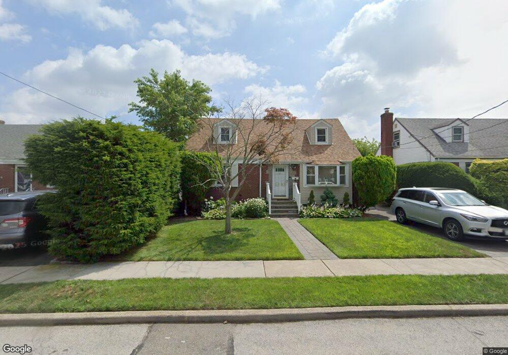
2921 Laurel Ave Baldwin, NY 11510
Estimated Value: $572,485 - $735,000
Studio
2
Baths
1,374
Sq Ft
$476/Sq Ft
Est. Value
About This Home
This home is located at 2921 Laurel Ave, Baldwin, NY 11510 and is currently estimated at $653,743, approximately $475 per square foot. 2921 Laurel Ave is a home located in Nassau County with nearby schools including Baldwin Senior High School.
Ownership History
Date
Name
Owned For
Owner Type
Purchase Details
Closed on
Mar 8, 2022
Sold by
Porter Demetrius A and Lansiquot Porter Verneta
Bought by
Porter Demetrius A and Lansiquot Porter Verneta
Current Estimated Value
Home Financials for this Owner
Home Financials are based on the most recent Mortgage that was taken out on this home.
Original Mortgage
$416,156
Outstanding Balance
$387,803
Interest Rate
3.69%
Mortgage Type
VA
Estimated Equity
$265,940
Purchase Details
Closed on
May 22, 2007
Sold by
Catalanotto Joseph
Bought by
Porter Demetrius
Purchase Details
Closed on
Jun 30, 2000
Create a Home Valuation Report for This Property
The Home Valuation Report is an in-depth analysis detailing your home's value as well as a comparison with similar homes in the area
Home Values in the Area
Average Home Value in this Area
Purchase History
| Date | Buyer | Sale Price | Title Company |
|---|---|---|---|
| Porter Demetrius A | -- | Accommodation | |
| Porter Demetrius | $465,000 | -- | |
| -- | $153,000 | -- |
Source: Public Records
Mortgage History
| Date | Status | Borrower | Loan Amount |
|---|---|---|---|
| Open | Porter Demetrius A | $416,156 |
Source: Public Records
Tax History
| Year | Tax Paid | Tax Assessment Tax Assessment Total Assessment is a certain percentage of the fair market value that is determined by local assessors to be the total taxable value of land and additions on the property. | Land | Improvement |
|---|---|---|---|---|
| 2025 | $11,874 | $385 | $148 | $237 |
| 2024 | $3,141 | $385 | $148 | $237 |
Source: Public Records
Map
Nearby Homes
- 2864 Eastern Blvd
- 2933 Tulip Ave
- 116 Westend Ave Unit 8
- 47 Anchor St Unit Y
- 525 Ray St
- 2934 Dahlia Ave
- 2842 Dahlia Ave
- 31 Anchor St Unit Y
- 557 Southside Ave
- 1003 Steele Blvd
- 2676 Johnson Place Unit 2674
- 153 Westend Ave
- 1050 Hastings St
- 77 Hampton Place
- 2758 Harvard Place
- 1028 Thomas Ave
- 1100 Jefferson Place
- 14 Florence Ave Unit 25B
- 1031 Jefferson St
- 1137 Washington Place
- 2915 Laurel Ave
- 2927 Laurel Ave
- 2931 Laurel Ave
- 2911 Laurel Ave
- 2922 Eastern Blvd
- 2926 Eastern Blvd
- 2916 Eastern Blvd
- 2928 Eastern Blvd
- 2916 Laurel Ave
- 2937 Laurel Ave
- 2924 Laurel Ave
- 2912 Eastern Blvd
- 2938 Eastern Blvd
- 2910 Laurel Ave
- 2930 Laurel Ave
- 2930 Laurel Ave
- 1124 Atlantic Ave
- 1124 Atlantic Ave
- 1132 Atlantic Ave
- 2943 Laurel Ave
Your Personal Tour Guide
Ask me questions while you tour the home.