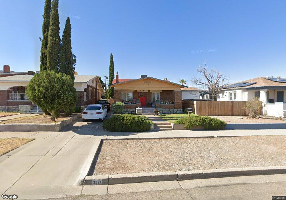
2921 Lebanon Ave El Paso, TX 79930
Manhattan Heights NeighborhoodEstimated Value: $199,909 - $259,000
3
Beds
2
Baths
1,285
Sq Ft
$171/Sq Ft
Est. Value
About This Home
This home is located at 2921 Lebanon Ave, El Paso, TX 79930 and is currently estimated at $220,227, approximately $171 per square foot. 2921 Lebanon Ave is a home located in El Paso County with nearby schools including Crockett Elementary School, Armendariz Middle School, and Middle School-5 NW Middle.
Ownership History
Date
Name
Owned For
Owner Type
Purchase Details
Closed on
Feb 19, 2016
Sold by
Perez Cecilia M
Bought by
Perez Cecilia Margaret
Current Estimated Value
Purchase Details
Closed on
Oct 14, 2009
Sold by
Lopez Joe
Bought by
Hoover Donald E and Hoover Jacquelyn A
Home Financials for this Owner
Home Financials are based on the most recent Mortgage that was taken out on this home.
Original Mortgage
$56,000
Interest Rate
5.1%
Mortgage Type
New Conventional
Create a Home Valuation Report for This Property
The Home Valuation Report is an in-depth analysis detailing your home's value as well as a comparison with similar homes in the area
Home Values in the Area
Average Home Value in this Area
Purchase History
| Date | Buyer | Sale Price | Title Company |
|---|---|---|---|
| Perez Cecilia Margaret | -- | None Available | |
| Perez Cecilia Margaret | -- | None Available | |
| Hoover Donald E | -- | St | |
| Lopez Joe | -- | None Available |
Source: Public Records
Mortgage History
| Date | Status | Borrower | Loan Amount |
|---|---|---|---|
| Closed | Hoover Donald E | $56,000 |
Source: Public Records
Tax History Compared to Growth
Tax History
| Year | Tax Paid | Tax Assessment Tax Assessment Total Assessment is a certain percentage of the fair market value that is determined by local assessors to be the total taxable value of land and additions on the property. | Land | Improvement |
|---|---|---|---|---|
| 2025 | $1,133 | $117,069 | -- | -- |
| 2024 | $1,133 | $106,426 | -- | -- |
| 2023 | $1,061 | $96,751 | $0 | $0 |
| 2022 | $2,604 | $87,955 | $0 | $0 |
| 2021 | $2,497 | $84,211 | $13,444 | $70,767 |
| 2020 | $2,234 | $72,690 | $12,476 | $60,214 |
| 2018 | $2,138 | $72,226 | $12,476 | $59,750 |
| 2017 | $1,927 | $68,406 | $12,476 | $55,930 |
| 2016 | $1,927 | $68,406 | $12,476 | $55,930 |
| 2015 | $1,660 | $68,406 | $12,476 | $55,930 |
| 2014 | $1,660 | $69,534 | $12,476 | $57,058 |
Source: Public Records
Map
Nearby Homes
- 2735 Aurora Ave
- 3116 Wheeling Ave
- 1712 Elm St
- 1701 Elm St
- 2624 Aurora Ave
- 2630 Wheeling Ave
- 2903 Savannah Ave
- 3009 Savannah Ave
- 1813 & 181 Alabama St
- 3408 Lebanon Ave
- 2510 Federal Ave
- 3204 Memphis Ave
- 2610 Frankfort Ave
- 2406 Lebanon Ave
- 2413 Copper Ave
- 2917 Mobile Ave
- 2300 Red Sky Ln
- 2816 N Piedras St
- 3018 Sacramento Ave
- 2612 San Jose Ave
- 2919 Lebanon Ave
- 2915 Lebanon Ave Unit 2917
- 2915 Lebanon Ave Unit A & B
- 2915 Lebanon Ave Unit 2
- 2935 Lebanon Ave
- 2915 Lebanon Ave Unit NONE
- 2915 Lebanon Ave
- 2913 Lebanon Ave
- 2911 Lebanon Ave
- 2922 Louisville Ave
- 2926 Louisville Ave
- 2920 Louisville Ave
- 2928 Louisville Ave
- 2916 Louisville Ave
- 2930 Louisville Ave
- 2912 Louisville Ave
- 2924 Lebanon Ave
- 2920 Lebanon Ave
- 2926 Lebanon Ave
- 2914 Lebanon Ave