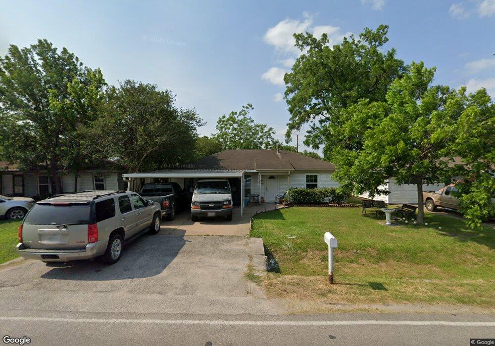
2921 Mohawk St Houston, TX 77093
East Aldine NeighborhoodEstimated Value: $199,000 - $268,000
2
Beds
1
Bath
1,144
Sq Ft
$203/Sq Ft
Est. Value
About This Home
This home is located at 2921 Mohawk St, Houston, TX 77093 and is currently estimated at $232,750, approximately $203 per square foot. 2921 Mohawk St is a home located in Harris County with nearby schools including Scarborough Elementary School, Patrick Henry Middle School, and Sam Houston Math, Science & Technology Center.
Ownership History
Date
Name
Owned For
Owner Type
Purchase Details
Closed on
Oct 26, 2013
Sold by
Flores Luis G and Reyes Mayra
Bought by
Perrett Anarbol
Current Estimated Value
Purchase Details
Closed on
Jul 9, 2010
Sold by
Vaughan William Isaac and Vaughan Katie P
Bought by
Flores Luis G and Reyes Mayra
Home Financials for this Owner
Home Financials are based on the most recent Mortgage that was taken out on this home.
Original Mortgage
$62,577
Interest Rate
5.25%
Mortgage Type
FHA
Create a Home Valuation Report for This Property
The Home Valuation Report is an in-depth analysis detailing your home's value as well as a comparison with similar homes in the area
Home Values in the Area
Average Home Value in this Area
Purchase History
| Date | Buyer | Sale Price | Title Company |
|---|---|---|---|
| Perrett Anarbol | -- | Tradition Title Company | |
| Flores Luis G | -- | First American Title |
Source: Public Records
Mortgage History
| Date | Status | Borrower | Loan Amount |
|---|---|---|---|
| Previous Owner | Flores Luis G | $62,577 |
Source: Public Records
Tax History Compared to Growth
Tax History
| Year | Tax Paid | Tax Assessment Tax Assessment Total Assessment is a certain percentage of the fair market value that is determined by local assessors to be the total taxable value of land and additions on the property. | Land | Improvement |
|---|---|---|---|---|
| 2025 | $2,889 | $245,430 | $40,308 | $205,122 |
| 2024 | $2,889 | $260,066 | $40,308 | $219,758 |
| 2023 | $2,889 | $161,417 | $40,308 | $121,109 |
| 2022 | $1,714 | $131,302 | $30,844 | $100,458 |
| 2021 | $1,654 | $105,736 | $30,844 | $74,892 |
| 2020 | $1,564 | $92,464 | $30,844 | $61,620 |
| 2019 | $1,483 | $92,464 | $30,844 | $61,620 |
| 2018 | $809 | $62,949 | $30,844 | $32,105 |
| 2017 | $1,348 | $62,949 | $30,844 | $32,105 |
| 2016 | $1,283 | $62,949 | $30,844 | $32,105 |
| 2015 | $780 | $54,448 | $19,278 | $35,170 |
| 2014 | $780 | $54,448 | $19,278 | $35,170 |
Source: Public Records
Map
Nearby Homes
- 2817 Cromwell St
- 2915 Brea Crest St
- 3214 Brea Crest St
- 2629 Kowis St
- 3418 Hopper Rd
- 3111 Hartwick Rd
- 11716 Innsbury Dr
- 2636 Lone Oak Rd
- 2723 Castledale Dr
- 2311 Warwick Rd
- 2922 Bertrand St
- 2930 Bertrand St
- 2237 Cromwell St
- 2326 Sunny Dr
- 11746 Somerset Ln
- 1728 Little York Rd
- 1904 Little York Rd
- 2306 Wardmont St
- 2152 William Tell St
- 2410 Mierianne St