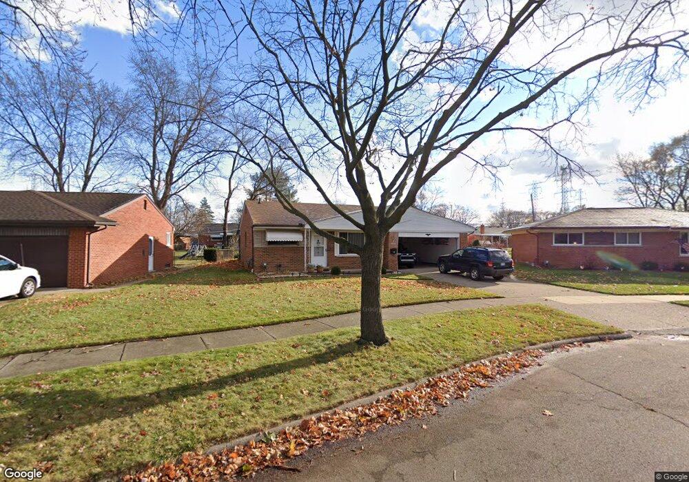
29214 Pinto Dr Warren, MI 48093
Northeast Warren NeighborhoodEstimated Value: $243,410 - $274,000
3
Beds
2
Baths
1,400
Sq Ft
$183/Sq Ft
Est. Value
About This Home
This home is located at 29214 Pinto Dr, Warren, MI 48093 and is currently estimated at $256,353, approximately $183 per square foot. 29214 Pinto Dr is a home located in Macomb County with nearby schools including Warren Woods Tower High School, Frontier International Academy Elementary, and Warren SDA Junior Academy.
Ownership History
Date
Name
Owned For
Owner Type
Purchase Details
Closed on
Apr 11, 2000
Sold by
Malcolm Douglas R
Bought by
Osanu Sorin D
Current Estimated Value
Home Financials for this Owner
Home Financials are based on the most recent Mortgage that was taken out on this home.
Original Mortgage
$114,800
Outstanding Balance
$39,358
Interest Rate
8.24%
Mortgage Type
Purchase Money Mortgage
Estimated Equity
$216,995
Purchase Details
Closed on
Oct 24, 1996
Sold by
B Sullivan Trust
Bought by
Malcolm D
Create a Home Valuation Report for This Property
The Home Valuation Report is an in-depth analysis detailing your home's value as well as a comparison with similar homes in the area
Home Values in the Area
Average Home Value in this Area
Purchase History
| Date | Buyer | Sale Price | Title Company |
|---|---|---|---|
| Osanu Sorin D | $143,500 | -- | |
| Malcolm D | $122,000 | -- |
Source: Public Records
Mortgage History
| Date | Status | Borrower | Loan Amount |
|---|---|---|---|
| Open | Osanu Sorin D | $114,800 |
Source: Public Records
Tax History
| Year | Tax Paid | Tax Assessment Tax Assessment Total Assessment is a certain percentage of the fair market value that is determined by local assessors to be the total taxable value of land and additions on the property. | Land | Improvement |
|---|---|---|---|---|
| 2025 | $3,334 | $118,660 | $0 | $0 |
| 2024 | $33 | $107,810 | $0 | $0 |
| 2023 | $3,074 | $100,340 | $0 | $0 |
| 2022 | $3,014 | $87,340 | $0 | $0 |
| 2021 | $2,957 | $80,230 | $0 | $0 |
| 2020 | $2,834 | $76,170 | $0 | $0 |
| 2019 | $2,708 | $71,930 | $0 | $0 |
| 2018 | $2,735 | $67,890 | $0 | $0 |
| 2017 | $2,586 | $60,890 | $11,380 | $49,510 |
| 2016 | $2,566 | $60,890 | $0 | $0 |
| 2015 | -- | $53,570 | $0 | $0 |
| 2012 | -- | $49,520 | $0 | $0 |
Source: Public Records
Map
Nearby Homes
- 29105 Palomino Dr
- 29091 Wagner Dr
- 29337 Roan Dr
- 29366 Wagner Dr
- 54765 Palomino Ave
- 28540 Roan Dr
- 29460 Hoover Rd Unit D37
- 29143 Dover Ave
- 29368 Hoover Rd Unit A3
- 29248 Hoover Rd Unit 171
- 29626 Hoover Rd Unit 626
- 29451 Hoover Rd
- 12531 Common Rd
- 29531 Eiffel Ave
- 30045 Iroquois Dr
- 11357 Geoffry Dr
- 12876 Martin Rd
- 27738 Roan Ave
- 12855 Ray Dr
- 11960 E Fort Lauderdale St
- 29226 Pinto Dr
- 29202 Pinto Dr
- 29205 Palomino Dr
- 29221 Palomino Dr
- 29238 Pinto Dr
- 29155 Palomino Dr Unit Bldg-Unit
- 29155 Palomino Dr
- 29237 Palomino Dr
- 12366 Geoffry Dr
- 29141 Palomino Dr
- 29250 Pinto Dr
- 29219 Pinto Dr
- 29251 Palomino Dr
- 29231 Pinto Dr
- 29133 Palomino Dr
- 29243 Pinto Dr
- 29262 Pinto Dr
- 29265 Palomino Dr
- 12342 Geoffry Dr
- 29255 Pinto Dr
Your Personal Tour Guide
Ask me questions while you tour the home.