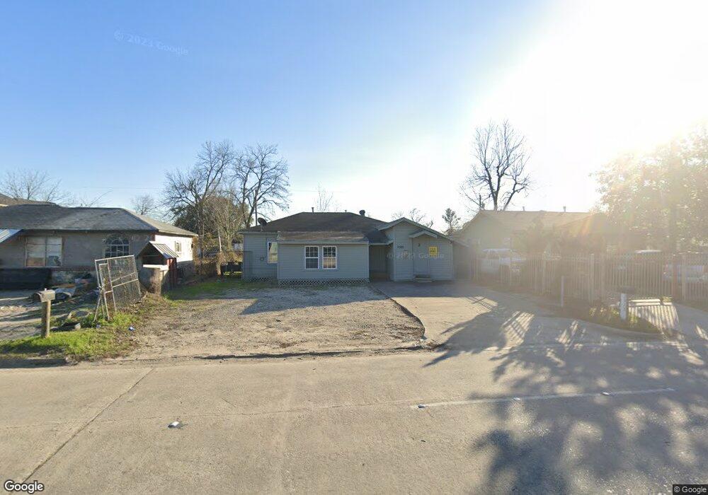
2922 Hopper Rd Houston, TX 77093
East Aldine NeighborhoodEstimated Value: $125,308 - $169,000
2
Beds
1
Bath
964
Sq Ft
$156/Sq Ft
Est. Value
About This Home
This home is located at 2922 Hopper Rd, Houston, TX 77093 and is currently estimated at $150,827, approximately $156 per square foot. 2922 Hopper Rd is a home located in Harris County with nearby schools including Scarborough Elementary School, Patrick Henry Middle School, and Sam Houston Math, Science & Technology Center.
Ownership History
Date
Name
Owned For
Owner Type
Purchase Details
Closed on
Mar 20, 2010
Sold by
The Bank Of New York Mellon
Bought by
Paez Efrain and Paez Isabel
Current Estimated Value
Purchase Details
Closed on
Feb 2, 2010
Sold by
Corral Gladis Yolanda and Corral Zeferino
Bought by
The Bank Of New York Mellon
Purchase Details
Closed on
Jul 20, 2004
Sold by
Corral Manuel and Corral Lucia
Bought by
Corral Zeferino
Purchase Details
Closed on
Mar 2, 2004
Sold by
Almaguer Mary E
Bought by
Corral Manuel and Corral Alicia
Create a Home Valuation Report for This Property
The Home Valuation Report is an in-depth analysis detailing your home's value as well as a comparison with similar homes in the area
Home Values in the Area
Average Home Value in this Area
Purchase History
| Date | Buyer | Sale Price | Title Company |
|---|---|---|---|
| Paez Efrain | -- | First American Title | |
| The Bank Of New York Mellon | $43,408 | None Available | |
| Corral Zeferino | -- | First American Title | |
| Corral Manuel | -- | First American Title |
Source: Public Records
Tax History Compared to Growth
Tax History
| Year | Tax Paid | Tax Assessment Tax Assessment Total Assessment is a certain percentage of the fair market value that is determined by local assessors to be the total taxable value of land and additions on the property. | Land | Improvement |
|---|---|---|---|---|
| 2025 | $1,770 | $100,709 | $40,308 | $60,401 |
| 2024 | $1,770 | $100,709 | $40,308 | $60,401 |
| 2023 | $1,770 | $107,659 | $40,308 | $67,351 |
| 2022 | $1,625 | $87,410 | $30,844 | $56,566 |
| 2021 | $1,418 | $71,831 | $30,844 | $40,987 |
| 2020 | $1,330 | $64,766 | $30,844 | $33,922 |
| 2019 | $1,387 | $64,766 | $30,844 | $33,922 |
| 2018 | $1,033 | $48,208 | $30,844 | $17,364 |
| 2017 | $1,033 | $48,208 | $30,844 | $17,364 |
| 2016 | $1,033 | $48,208 | $30,844 | $17,364 |
| 2015 | $851 | $39,795 | $19,278 | $20,517 |
| 2014 | $851 | $39,795 | $19,278 | $20,517 |
Source: Public Records
Map
Nearby Homes
- 2817 Cromwell St
- 2915 Brea Crest St
- 3214 Brea Crest St
- 2629 Kowis St
- 3418 Hopper Rd
- 3111 Hartwick Rd
- 11716 Innsbury Dr
- 2636 Lone Oak Rd
- 2723 Castledale Dr
- 2311 Warwick Rd
- 2922 Bertrand St
- 2930 Bertrand St
- 2237 Cromwell St
- 2326 Sunny Dr
- 11746 Somerset Ln
- 1728 Little York Rd
- 1904 Little York Rd
- 2306 Wardmont St
- 2152 William Tell St
- 2410 Mierianne St