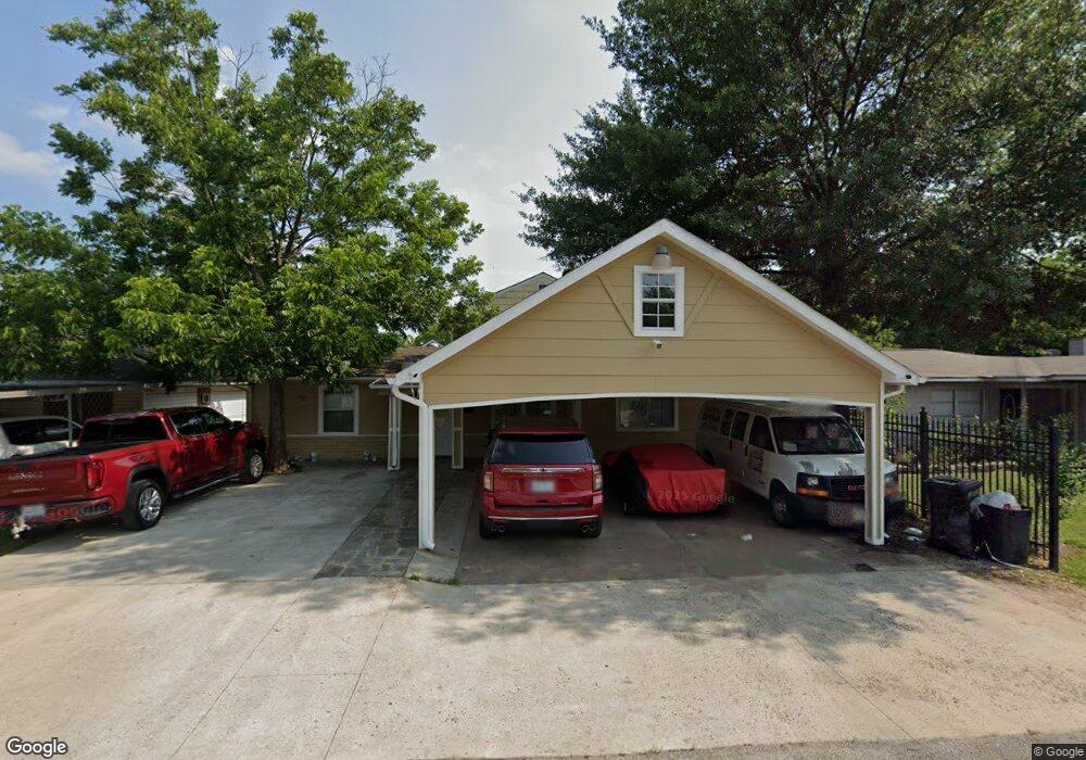
2922 Mohawk St Houston, TX 77093
East Aldine NeighborhoodEstimated Value: $188,000 - $318,000
7
Beds
5
Baths
3,404
Sq Ft
$77/Sq Ft
Est. Value
About This Home
This home is located at 2922 Mohawk St, Houston, TX 77093 and is currently estimated at $261,392, approximately $76 per square foot. 2922 Mohawk St is a home located in Harris County with nearby schools including Scarborough Elementary School, Patrick Henry Middle School, and Sam Houston Math, Science & Technology Center.
Ownership History
Date
Name
Owned For
Owner Type
Purchase Details
Closed on
Apr 24, 2002
Sold by
Driver James R and Driver Betty L
Bought by
Gutierrez Hector
Current Estimated Value
Home Financials for this Owner
Home Financials are based on the most recent Mortgage that was taken out on this home.
Original Mortgage
$67,800
Outstanding Balance
$28,667
Interest Rate
7.09%
Estimated Equity
$232,725
Purchase Details
Closed on
Apr 14, 1994
Sold by
Driver James Rodney
Bought by
Driver James Rollie and Driver Betty
Create a Home Valuation Report for This Property
The Home Valuation Report is an in-depth analysis detailing your home's value as well as a comparison with similar homes in the area
Home Values in the Area
Average Home Value in this Area
Purchase History
| Date | Buyer | Sale Price | Title Company |
|---|---|---|---|
| Gutierrez Hector | -- | American Title Co | |
| Driver James Rollie | -- | -- |
Source: Public Records
Mortgage History
| Date | Status | Borrower | Loan Amount |
|---|---|---|---|
| Open | Gutierrez Hector | $67,800 |
Source: Public Records
Tax History Compared to Growth
Tax History
| Year | Tax Paid | Tax Assessment Tax Assessment Total Assessment is a certain percentage of the fair market value that is determined by local assessors to be the total taxable value of land and additions on the property. | Land | Improvement |
|---|---|---|---|---|
| 2025 | $1,638 | $313,461 | $40,308 | $273,153 |
| 2024 | $1,638 | $313,461 | $40,308 | $273,153 |
| 2023 | $1,638 | $345,815 | $40,308 | $305,507 |
| 2022 | $2,664 | $287,081 | $30,844 | $256,237 |
| 2021 | $2,571 | $226,400 | $30,844 | $195,556 |
| 2020 | $2,432 | $162,261 | $30,844 | $131,417 |
| 2019 | $2,306 | $162,261 | $30,844 | $131,417 |
| 2018 | $1,424 | $97,864 | $30,844 | $67,020 |
| 2017 | $2,096 | $97,864 | $30,844 | $67,020 |
| 2016 | $2,096 | $97,864 | $30,844 | $67,020 |
| 2015 | $1,608 | $101,447 | $19,278 | $82,169 |
| 2014 | $1,608 | $101,447 | $19,278 | $82,169 |
Source: Public Records
Map
Nearby Homes
- 2817 Cromwell St
- 2629 Kowis St
- 2915 Brea Crest St
- 3214 Brea Crest St
- 2636 Lone Oak Rd
- 3418 Hopper Rd
- 3111 Hartwick Rd
- 2311 Warwick Rd
- 11716 Innsbury Dr
- 1728 Little York Rd
- 2723 Castledale Dr
- 2237 Cromwell St
- 1904 Little York Rd
- 2922 Bertrand St
- 2930 Bertrand St
- 2326 Sunny Dr
- 11746 Somerset Ln
- 2306 Wardmont St
- 2152 William Tell St
- 3804 Cedar Hill Ln
- 2926 Mohawk St
- 2918 Mohawk St
- 2914 Mohawk St
- 3002 Mohawk St
- 2921 Cromwell St
- 2925 Cromwell St
- 2917 Cromwell St
- 2910 Mohawk St
- 3006 Mohawk St
- 3001 Cromwell St
- 2921 Mohawk St
- 2925 Mohawk St
- 2917 Mohawk St
- 3005 Cromwell St
- 2906 Mohawk St
- 3010 Mohawk St
- 2913 Mohawk St
- 3001 Mohawk St
- 3005 Mohawk St
- 2909 Mohawk St