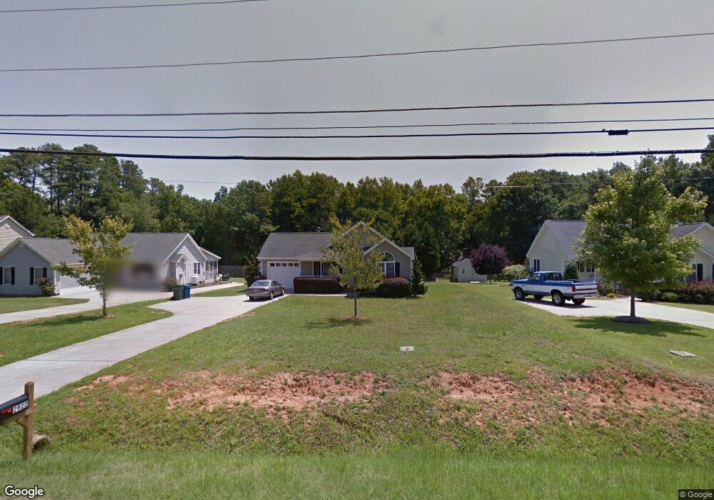
2922 Sparger Rd Durham, NC 27705
Croasdaile NeighborhoodEstimated Value: $376,000 - $451,000
3
Beds
2
Baths
1,318
Sq Ft
$321/Sq Ft
Est. Value
About This Home
This home is located at 2922 Sparger Rd, Durham, NC 27705 and is currently estimated at $423,418, approximately $321 per square foot. 2922 Sparger Rd is a home located in Durham County with nearby schools including Hillandale Elementary School, George L Carrington Middle, and Riverside High School.
Ownership History
Date
Name
Owned For
Owner Type
Purchase Details
Closed on
Aug 4, 2006
Sold by
Ticon Inc
Bought by
Landon Ian and Landon Anja
Current Estimated Value
Home Financials for this Owner
Home Financials are based on the most recent Mortgage that was taken out on this home.
Original Mortgage
$100,000
Outstanding Balance
$59,973
Interest Rate
6.74%
Mortgage Type
Stand Alone First
Estimated Equity
$363,445
Create a Home Valuation Report for This Property
The Home Valuation Report is an in-depth analysis detailing your home's value as well as a comparison with similar homes in the area
Home Values in the Area
Average Home Value in this Area
Purchase History
| Date | Buyer | Sale Price | Title Company |
|---|---|---|---|
| Landon Ian | $165,000 | None Available |
Source: Public Records
Mortgage History
| Date | Status | Borrower | Loan Amount |
|---|---|---|---|
| Open | Landon Ian | $100,000 |
Source: Public Records
Tax History
| Year | Tax Paid | Tax Assessment Tax Assessment Total Assessment is a certain percentage of the fair market value that is determined by local assessors to be the total taxable value of land and additions on the property. | Land | Improvement |
|---|---|---|---|---|
| 2025 | $4,270 | $430,765 | $154,125 | $276,640 |
| 2024 | $3,692 | $264,708 | $40,980 | $223,728 |
| 2023 | $2,970 | $226,722 | $40,980 | $185,742 |
| 2022 | $2,902 | $226,722 | $40,980 | $185,742 |
| 2021 | $2,888 | $226,722 | $40,980 | $185,742 |
| 2020 | $2,820 | $226,722 | $40,980 | $185,742 |
| 2019 | $2,820 | $226,722 | $40,980 | $185,742 |
| 2018 | $2,246 | $165,537 | $23,905 | $141,632 |
| 2017 | $2,229 | $165,537 | $23,905 | $141,632 |
| 2016 | $2,154 | $165,537 | $23,905 | $141,632 |
| 2015 | $2,269 | $163,904 | $33,391 | $130,513 |
| 2014 | $2,269 | $163,904 | $33,391 | $130,513 |
Source: Public Records
Map
Nearby Homes
- 4521 Myers Park Dr
- 2801 Sparger Rd
- 4404 Regis Ave
- 2708 Ferrand Dr
- 2606 Newquay St
- 96 Sparger Springs Ln
- 208 Jefferson Dr
- 2200 Anthony Dr
- 4408 Cheshire Ct
- 2323 Orangewood Dr
- 6 Webster Ct
- 1214 E Oak Dr
- 2301 Greenbrook Ln
- 2104 Skipping Stone Dr
- 1009 Crescent Moon Ct
- 605 Blackwood Ct
- 524 Soapstone Dr
- 134 Eagles Nest Dr
- 3023 Pump Station Ln
- 1217 Opal Ln
- 2926 Sparger Rd
- 2920 Sparger Rd
- 2930 Sparger Rd
- 2918 Sparger Rd
- 2916 Sparger Rd
- 2921 Sparger Rd
- 2914 Sparger Rd
- 3014 Sparger Rd
- 2932 Sparger Rd
- 2915 Sparger Rd
- 2929 Sparger Rd
- 2910 Sparger Rd
- 2936 Sparger Rd
- 2908 Sparger Rd
- 2911 Sparger Rd
- 3003 Beech Grove Dr
- 2909 Sparger Rd
- 2906 Sparger Rd
- 3009 Beech Grove Dr
- 2925 Beech Grove Dr
Your Personal Tour Guide
Ask me questions while you tour the home.