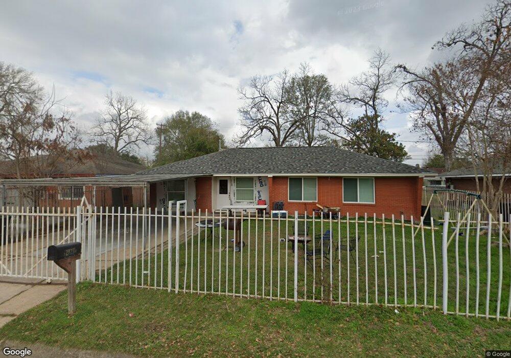
2923 Barksdale Dr Houston, TX 77093
Eastex-Jensen NeighborhoodEstimated Value: $165,740 - $180,000
3
Beds
1
Bath
1,278
Sq Ft
$137/Sq Ft
Est. Value
About This Home
This home is located at 2923 Barksdale Dr, Houston, TX 77093 and is currently estimated at $174,935, approximately $136 per square foot. 2923 Barksdale Dr is a home located in Harris County with nearby schools including Scarborough Elementary School, Patrick Henry Middle School, and Sam Houston Math, Science & Technology Center.
Ownership History
Date
Name
Owned For
Owner Type
Purchase Details
Closed on
Sep 10, 2020
Sold by
Gomez Luisa R and Ruiz Luisa Gomez
Bought by
Gomez Jose L and Gomez Imelda
Current Estimated Value
Purchase Details
Closed on
Aug 17, 2005
Sold by
Posadas Simon Reyes and Posadas Dominga
Bought by
Gomez Luisa R
Home Financials for this Owner
Home Financials are based on the most recent Mortgage that was taken out on this home.
Original Mortgage
$74,000
Interest Rate
5.61%
Mortgage Type
Fannie Mae Freddie Mac
Create a Home Valuation Report for This Property
The Home Valuation Report is an in-depth analysis detailing your home's value as well as a comparison with similar homes in the area
Home Values in the Area
Average Home Value in this Area
Purchase History
| Date | Buyer | Sale Price | Title Company |
|---|---|---|---|
| Gomez Jose L | -- | National Title Ins Agcy | |
| Gomez Luisa R | -- | Fidelity National Title |
Source: Public Records
Mortgage History
| Date | Status | Borrower | Loan Amount |
|---|---|---|---|
| Closed | Gomez Luisa R | $74,000 |
Source: Public Records
Tax History Compared to Growth
Tax History
| Year | Tax Paid | Tax Assessment Tax Assessment Total Assessment is a certain percentage of the fair market value that is determined by local assessors to be the total taxable value of land and additions on the property. | Land | Improvement |
|---|---|---|---|---|
| 2025 | $3,075 | $155,835 | $50,369 | $105,466 |
| 2024 | $3,075 | $146,979 | $41,513 | $105,466 |
| 2023 | $3,075 | $147,771 | $41,513 | $106,258 |
| 2022 | $2,929 | $133,019 | $27,675 | $105,344 |
| 2021 | $2,529 | $108,514 | $17,989 | $90,525 |
| 2020 | $2,484 | $102,576 | $17,989 | $84,587 |
| 2019 | $2,449 | $96,789 | $15,221 | $81,568 |
| 2018 | $1,731 | $68,396 | $15,221 | $53,175 |
| 2017 | $1,729 | $68,396 | $15,221 | $53,175 |
| 2016 | $1,577 | $62,354 | $15,221 | $47,133 |
| 2015 | $1,898 | $62,354 | $15,221 | $47,133 |
| 2014 | $1,898 | $73,820 | $15,221 | $58,599 |
Source: Public Records
Map
Nearby Homes
- 1904 Little York Rd
- 1728 Little York Rd
- 2636 Lone Oak Rd
- 2629 Kowis St
- 2817 Cromwell St
- 4918 Langley Rd
- 3418 Hopper Rd
- 3804 Cedar Hill Ln
- 2315 Langley Rd
- 3214 Brea Crest St
- 2915 Brea Crest St
- 2332 Margaret St
- 2415 Goodloe St
- 2311 Warwick Rd
- 2237 Cromwell St
- 2152 William Tell St
- 2122 Kowis St
- 3202 Parker Rd
- 3111 Hartwick Rd
- 4410 Shelton Rd
- 2919 Barksdale Dr
- 2927 Barksdale Dr
- 2924 Trenton Rd
- 2920 Trenton Rd
- 2915 Barksdale Dr
- 2928 Trenton Rd
- 2916 Trenton Rd
- 2924 Barksdale Dr
- 2928 Barksdale Dr
- 2920 Barksdale Dr
- 2932 Trenton Rd
- 2911 Barksdale Dr
- 2935 Barksdale Dr
- 2932 Barksdale Dr
- 2912 Trenton Rd
- 2916 Barksdale Dr
- 2936 Barksdale Dr
- 2936 Trenton Rd
- 2939 Barksdale Dr
- 2907 Barksdale Dr