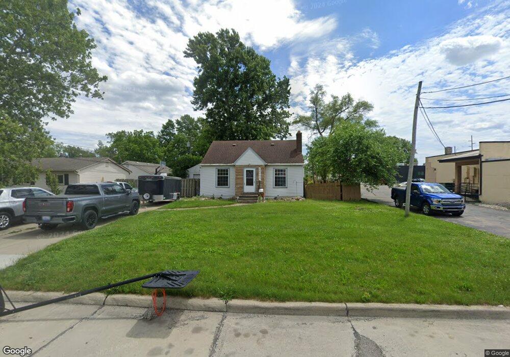
29233 John Hauk St Unit Bldg-Unit Garden City, MI 48135
Estimated Value: $194,000 - $247,000
--
Bed
1
Bath
1,157
Sq Ft
$186/Sq Ft
Est. Value
About This Home
This home is located at 29233 John Hauk St Unit Bldg-Unit, Garden City, MI 48135 and is currently estimated at $214,688, approximately $185 per square foot. 29233 John Hauk St Unit Bldg-Unit is a home located in Wayne County with nearby schools including Memorial Elementary 1-2 Campus, Douglas Elementary 3-4 Campus, and Garden City Middle School.
Ownership History
Date
Name
Owned For
Owner Type
Purchase Details
Closed on
Jun 8, 2018
Sold by
Derkatch Jamie L and Chapp Jeffrey
Bought by
Campbell Steven
Current Estimated Value
Home Financials for this Owner
Home Financials are based on the most recent Mortgage that was taken out on this home.
Original Mortgage
$141,391
Outstanding Balance
$121,920
Interest Rate
4.37%
Mortgage Type
FHA
Estimated Equity
$92,768
Create a Home Valuation Report for This Property
The Home Valuation Report is an in-depth analysis detailing your home's value as well as a comparison with similar homes in the area
Home Values in the Area
Average Home Value in this Area
Purchase History
| Date | Buyer | Sale Price | Title Company |
|---|---|---|---|
| Campbell Steven | $144,000 | Liberty Title |
Source: Public Records
Mortgage History
| Date | Status | Borrower | Loan Amount |
|---|---|---|---|
| Open | Campbell Steven | $141,391 |
Source: Public Records
Tax History Compared to Growth
Tax History
| Year | Tax Paid | Tax Assessment Tax Assessment Total Assessment is a certain percentage of the fair market value that is determined by local assessors to be the total taxable value of land and additions on the property. | Land | Improvement |
|---|---|---|---|---|
| 2025 | $4,160 | $98,100 | $0 | $0 |
| 2024 | $4,160 | $90,300 | $0 | $0 |
| 2023 | $3,024 | $76,800 | $0 | $0 |
| 2022 | $3,383 | $65,800 | $0 | $0 |
| 2021 | $4,540 | $63,700 | $0 | $0 |
| 2020 | $3,316 | $59,700 | $0 | $0 |
| 2019 | $2,727 | $52,400 | $0 | $0 |
| 2018 | $2,946 | $44,700 | $0 | $0 |
| 2017 | $551 | $42,200 | $0 | $0 |
| 2016 | $3,022 | $39,100 | $0 | $0 |
| 2015 | $3,386 | $37,400 | $0 | $0 |
| 2013 | $3,280 | $34,000 | $0 | $0 |
| 2012 | $1,913 | $35,200 | $11,900 | $23,300 |
Source: Public Records
Map
Nearby Homes
- 29404 Meadow Ln Unit 1
- 157 Middlebelt Rd
- 28914 Hennepin St
- 29578 Brown Ct
- 28649 John Hauk St
- 29699 Brown Ct
- 28530 John Hauk St
- 5689 Brandt St
- 1125 Brandt St
- 29825 Dawson St
- 29825 Dawson Ave
- 29159 Sheridan St
- 1147 Harrison St
- 29031 Rosslyn Ave
- 28524 Barton St
- 28462 Birchlawn St
- 28832 Block St
- 29487 Florence St
- 28614 Block St
- 1782 Gilman St
- 29233 John Hauk St
- 29167 John Hauk St
- 29155 John Hauk St
- 1858 Middlebelt Rd
- 29141 John Hauk St
- 1812 Middlebelt Rd
- 1812 Middlebelt Rd
- 1812 Middlebelt Rd Unit 1
- 1812 Middlebelt Rd Unit 1
- 29117 John Hauk St
- 1740 Middlebelt Rd
- 29210 Bock St
- 29075 John Hauk St
- 29142 Bock St
- 1724 Middlebelt Rd
- 2020 Middlebelt Rd
- 29055 John Hauk St
- 29156 Bock St
- 29406 Meadow Ln
- 1841 Middlebelt Rd