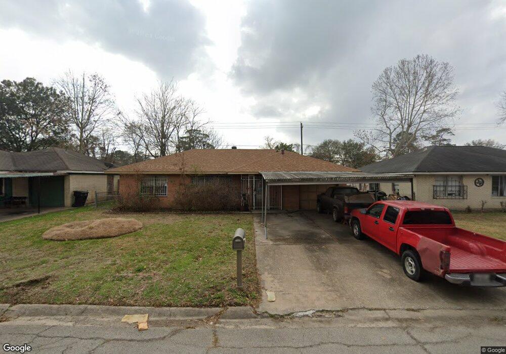
2924 Barksdale Dr Houston, TX 77093
Eastex-Jensen NeighborhoodEstimated Value: $170,000 - $183,000
3
Beds
2
Baths
1,317
Sq Ft
$136/Sq Ft
Est. Value
About This Home
This home is located at 2924 Barksdale Dr, Houston, TX 77093 and is currently estimated at $179,434, approximately $136 per square foot. 2924 Barksdale Dr is a home located in Harris County with nearby schools including Scarborough Elementary School, Patrick Henry Middle School, and Sam Houston Math, Science & Technology Center.
Ownership History
Date
Name
Owned For
Owner Type
Purchase Details
Closed on
Aug 31, 2001
Sold by
Whatley Grover L
Bought by
Combess Harold M and Combess Mary D
Current Estimated Value
Home Financials for this Owner
Home Financials are based on the most recent Mortgage that was taken out on this home.
Original Mortgage
$76,000
Outstanding Balance
$29,614
Interest Rate
6.98%
Estimated Equity
$149,820
Create a Home Valuation Report for This Property
The Home Valuation Report is an in-depth analysis detailing your home's value as well as a comparison with similar homes in the area
Home Values in the Area
Average Home Value in this Area
Purchase History
| Date | Buyer | Sale Price | Title Company |
|---|---|---|---|
| Combess Harold M | -- | First American Title |
Source: Public Records
Mortgage History
| Date | Status | Borrower | Loan Amount |
|---|---|---|---|
| Open | Combess Harold M | $76,000 |
Source: Public Records
Tax History Compared to Growth
Tax History
| Year | Tax Paid | Tax Assessment Tax Assessment Total Assessment is a certain percentage of the fair market value that is determined by local assessors to be the total taxable value of land and additions on the property. | Land | Improvement |
|---|---|---|---|---|
| 2025 | $3,103 | $157,179 | $50,369 | $106,810 |
| 2024 | $3,103 | $148,323 | $41,513 | $106,810 |
| 2023 | $3,103 | $149,186 | $41,513 | $107,673 |
| 2022 | $2,966 | $134,723 | $27,675 | $107,048 |
| 2021 | $2,319 | $99,518 | $17,989 | $81,529 |
| 2020 | $2,283 | $94,290 | $17,989 | $76,301 |
| 2019 | $1,767 | $88,803 | $15,221 | $73,582 |
| 2018 | $0 | $63,494 | $15,221 | $48,273 |
| 2017 | $1,605 | $63,494 | $15,221 | $48,273 |
| 2016 | $1,471 | $58,176 | $15,221 | $42,955 |
| 2015 | -- | $58,176 | $15,221 | $42,955 |
| 2014 | -- | $74,381 | $15,221 | $59,160 |
Source: Public Records
Map
Nearby Homes
- 1904 Little York Rd
- 1728 Little York Rd
- 2636 Lone Oak Rd
- 2629 Kowis St
- 4918 Langley Rd
- 2817 Cromwell St
- 3418 Hopper Rd
- 2315 Langley Rd
- 3804 Cedar Hill Ln
- 2332 Margaret St
- 2415 Goodloe St
- 3214 Brea Crest St
- 2915 Brea Crest St
- 2311 Warwick Rd
- 2237 Cromwell St
- 2152 William Tell St
- 3202 Parker Rd
- 2122 Kowis St
- 2326 Sunny Dr
- 4410 Shelton Rd
- 2928 Barksdale Dr
- 2920 Barksdale Dr
- 2932 Barksdale Dr
- 2916 Barksdale Dr
- 2923 Barksdale Dr
- 2919 Barksdale Dr
- 2936 Barksdale Dr
- 2912 Barksdale Dr
- 2927 Barksdale Dr
- 2915 Barksdale Dr
- 2931 Yorkwood St
- 2927 Yorkwood St
- 2923 Yorkwood St
- 2911 Barksdale Dr
- 2940 Barksdale Dr
- 2908 Barksdale Dr
- 2919 Yorkwood St
- 2935 Yorkwood St
- 2920 Trenton Rd
- 2935 Barksdale Dr