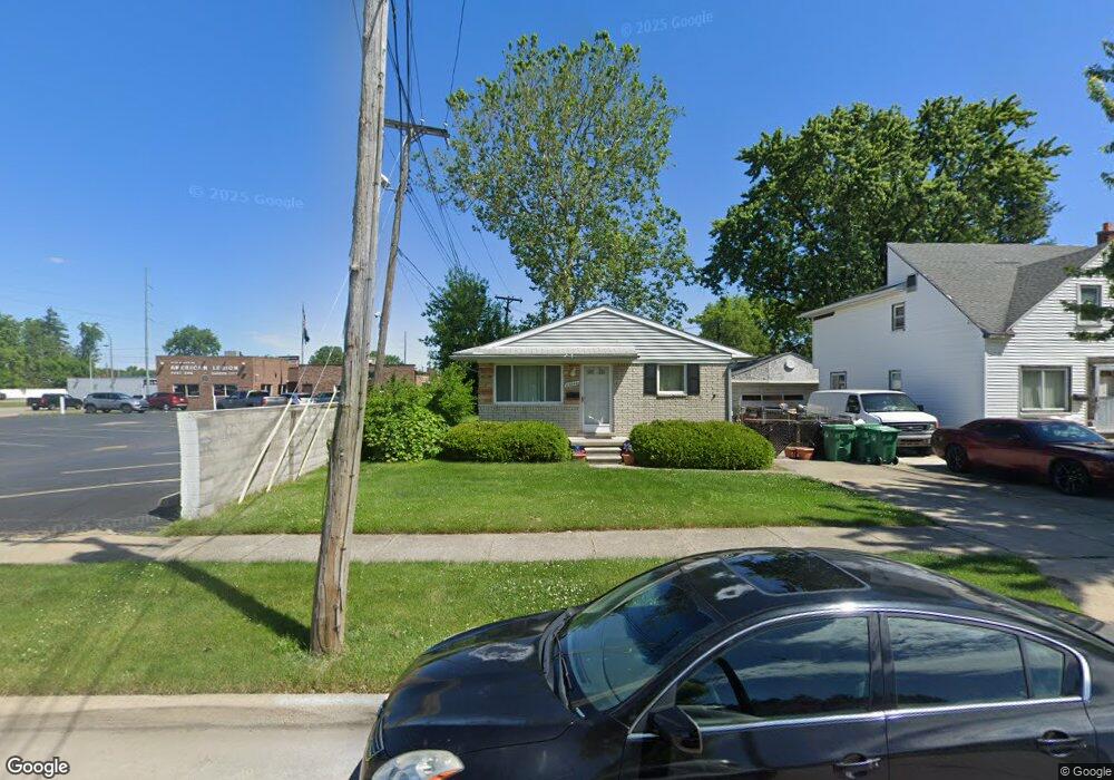
29242 Cambridge St Garden City, MI 48135
Estimated Value: $170,394 - $208,000
--
Bed
--
Bath
1,005
Sq Ft
$186/Sq Ft
Est. Value
About This Home
This home is located at 29242 Cambridge St, Garden City, MI 48135 and is currently estimated at $187,349, approximately $186 per square foot. 29242 Cambridge St is a home located in Wayne County with nearby schools including Douglas Elementary 3-4 Campus, Memorial Elementary 1-2 Campus, and Garden City Middle School.
Ownership History
Date
Name
Owned For
Owner Type
Purchase Details
Closed on
Apr 21, 2009
Sold by
Perri Larry
Bought by
Avanti Llc
Current Estimated Value
Purchase Details
Closed on
Dec 7, 2006
Sold by
Mamayek Martin P and Mamayek Brenda S
Bought by
Lasalle Bank Na and Mlmi Trust Series 2006-Rm2
Create a Home Valuation Report for This Property
The Home Valuation Report is an in-depth analysis detailing your home's value as well as a comparison with similar homes in the area
Home Values in the Area
Average Home Value in this Area
Purchase History
| Date | Buyer | Sale Price | Title Company |
|---|---|---|---|
| Avanti Llc | -- | None Available | |
| Perri Larry | -- | None Available | |
| Lasalle Bank Na | $94,930 | None Available |
Source: Public Records
Tax History Compared to Growth
Tax History
| Year | Tax Paid | Tax Assessment Tax Assessment Total Assessment is a certain percentage of the fair market value that is determined by local assessors to be the total taxable value of land and additions on the property. | Land | Improvement |
|---|---|---|---|---|
| 2025 | $2,329 | $72,600 | $0 | $0 |
| 2024 | $2,329 | $71,100 | $0 | $0 |
| 2023 | $2,196 | $62,300 | $0 | $0 |
| 2022 | $2,718 | $60,600 | $0 | $0 |
| 2021 | $2,654 | $55,200 | $0 | $0 |
| 2020 | $2,657 | $54,200 | $0 | $0 |
| 2019 | $1,990 | $46,800 | $0 | $0 |
| 2018 | $1,799 | $40,400 | $0 | $0 |
| 2017 | $1,044 | $38,000 | $0 | $0 |
| 2016 | $2,273 | $35,400 | $0 | $0 |
| 2015 | $2,994 | $32,000 | $0 | $0 |
| 2013 | $2,900 | $29,600 | $0 | $0 |
| 2012 | $2,564 | $31,600 | $6,600 | $25,000 |
Source: Public Records
Map
Nearby Homes
- 29498 Bridge St
- 28912 Cambridge St
- 29801 Bridge St
- 28730 Bridge St
- 28627 Bridge St
- 6747 Burnly St
- 6649 Burnly St
- 6705 Whitby St
- 29878 Malvern St
- 28843 Balmoral St
- 28832 Block St
- 28614 Block St
- 28343 Maplewood St
- 28538 Block St
- 28424 Elmwood St
- 29825 Dawson Ave
- 6253 Lathers St
- 6326 Lathers St
- 7637 Melvin Ave
- 29256 Brody Ave
- 29236 Cambridge St
- 29220 Cambridge St
- 29233 Bridge St
- 29208 Cambridge St
- 6780 Middlebelt Rd
- 29239 Cambridge St
- 29225 Cambridge St
- 29149 Bridge St
- 29219 Cambridge St
- 29162 Cambridge St
- 29207 Cambridge St
- 29133 Bridge St
- 29187 Cambridge St
- 29165 Cambridge St
- 29234 Bridge St
- 29150 Cambridge St
- 29122 Cambridge St
- 29159 Cambridge St
- 29123 Bridge St
- 6865 Middlebelt Rd