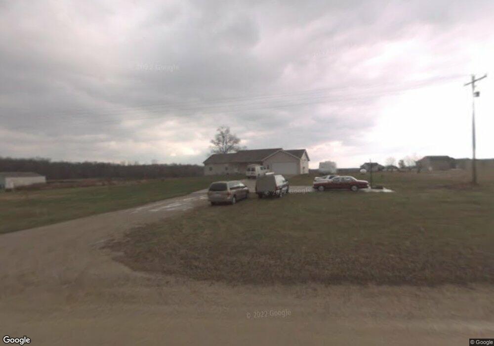
2925 4th St Wayland, MI 49348
Estimated Value: $501,000 - $559,000
4
Beds
3
Baths
1,833
Sq Ft
$292/Sq Ft
Est. Value
About This Home
This home is located at 2925 4th St, Wayland, MI 49348 and is currently estimated at $534,451, approximately $291 per square foot. 2925 4th St is a home located in Allegan County with nearby schools including Wayland High School.
Ownership History
Date
Name
Owned For
Owner Type
Purchase Details
Closed on
Aug 5, 2010
Sold by
Bodenberg Theresa K
Bought by
Bodenberg Timothy C
Current Estimated Value
Purchase Details
Closed on
Feb 23, 2005
Sold by
Bodenberg Timothy C
Bought by
Bodenberg Timothy C and Bodenberg Theresa K
Home Financials for this Owner
Home Financials are based on the most recent Mortgage that was taken out on this home.
Original Mortgage
$172,773
Outstanding Balance
$87,939
Interest Rate
5.67%
Mortgage Type
New Conventional
Estimated Equity
$446,512
Purchase Details
Closed on
Aug 22, 2003
Sold by
Tbmj Inc
Bought by
Kissinger Phillip and Kissinger Carly
Home Financials for this Owner
Home Financials are based on the most recent Mortgage that was taken out on this home.
Original Mortgage
$116,000
Interest Rate
6.4%
Mortgage Type
Purchase Money Mortgage
Create a Home Valuation Report for This Property
The Home Valuation Report is an in-depth analysis detailing your home's value as well as a comparison with similar homes in the area
Home Values in the Area
Average Home Value in this Area
Purchase History
| Date | Buyer | Sale Price | Title Company |
|---|---|---|---|
| Bodenberg Timothy C | -- | None Available | |
| Bodenberg Timothy C | -- | Metropolitan Title Company | |
| Kissinger Phillip | $29,900 | Metropolitan Title Company |
Source: Public Records
Mortgage History
| Date | Status | Borrower | Loan Amount |
|---|---|---|---|
| Open | Bodenberg Timothy C | $172,773 | |
| Closed | Kissinger Phillip | $116,000 |
Source: Public Records
Tax History Compared to Growth
Tax History
| Year | Tax Paid | Tax Assessment Tax Assessment Total Assessment is a certain percentage of the fair market value that is determined by local assessors to be the total taxable value of land and additions on the property. | Land | Improvement |
|---|---|---|---|---|
| 2025 | $3,587 | $251,900 | $44,400 | $207,500 |
| 2024 | $3,140 | $251,800 | $47,100 | $204,700 |
| 2023 | $3,223 | $236,300 | $44,400 | $191,900 |
| 2022 | $3,140 | $213,600 | $24,900 | $188,700 |
| 2021 | $2,988 | $202,100 | $24,900 | $177,200 |
| 2020 | $2,918 | $200,000 | $22,600 | $177,400 |
| 2019 | $2,839 | $159,200 | $22,600 | $136,600 |
| 2018 | $2,782 | $145,900 | $27,300 | $118,600 |
| 2017 | $0 | $141,100 | $27,300 | $113,800 |
| 2016 | $0 | $131,600 | $26,300 | $105,300 |
| 2015 | -- | $131,600 | $26,300 | $105,300 |
| 2014 | -- | $109,500 | $27,100 | $82,400 |
| 2013 | -- | $89,600 | $27,100 | $62,500 |
Source: Public Records
Map
Nearby Homes
- 590 129th Ave
- 516 131st Ave
- 2841 Odawa Trail
- 2724 Pasture Ln
- 3214 7th St
- 35 Cannonball Ln
- 12712 Sunrise Ct
- 1736 Parker Dr
- 12940 Cleland Ave
- 3140 Sandy Beach St
- 1980 Parker Dr
- 2681 Geneva Lake Dr S
- 12169 Pine Meadows Dr
- 12031 Sandstone Dr
- 3296 Stonehill Ct
- 3282 Stonehill Ct
- 12720 S Grey Ct
- 1164 E Bernie Ct
- 843 Wild Flower Ct
- 12857 Michael Dr Unit 49