2925 E 1519th Rd Ottawa, IL 61350
Estimated Value: $409,820 - $463,000
5
Beds
4
Baths
2,500
Sq Ft
$175/Sq Ft
Est. Value
About This Home
This home is located at 2925 E 1519th Rd, Ottawa, IL 61350 and is currently estimated at $438,705, approximately $175 per square foot. 2925 E 1519th Rd is a home located in LaSalle County with nearby schools including Wallace Elementary School, Ottawa Township High School, and Marquette Academy.
Ownership History
Date
Name
Owned For
Owner Type
Purchase Details
Closed on
Mar 18, 2020
Sold by
Oconnell Michael
Bought by
Cosmutto Beau E
Current Estimated Value
Home Financials for this Owner
Home Financials are based on the most recent Mortgage that was taken out on this home.
Original Mortgage
$170,000
Outstanding Balance
$150,272
Interest Rate
3.4%
Mortgage Type
New Conventional
Estimated Equity
$288,433
Purchase Details
Closed on
Jan 18, 2008
Sold by
Jennings Joseph C and Jennings Cher L
Bought by
Connell Michael O
Home Financials for this Owner
Home Financials are based on the most recent Mortgage that was taken out on this home.
Original Mortgage
$140,001
Interest Rate
5.87%
Mortgage Type
New Conventional
Create a Home Valuation Report for This Property
The Home Valuation Report is an in-depth analysis detailing your home's value as well as a comparison with similar homes in the area
Home Values in the Area
Average Home Value in this Area
Purchase History
| Date | Buyer | Sale Price | Title Company |
|---|---|---|---|
| Cosmutto Beau E | $273,000 | None Available | |
| Connell Michael O | $280,000 | First American Title |
Source: Public Records
Mortgage History
| Date | Status | Borrower | Loan Amount |
|---|---|---|---|
| Open | Cosmutto Beau E | $170,000 | |
| Previous Owner | Connell Michael O | $140,001 |
Source: Public Records
Tax History
| Year | Tax Paid | Tax Assessment Tax Assessment Total Assessment is a certain percentage of the fair market value that is determined by local assessors to be the total taxable value of land and additions on the property. | Land | Improvement |
|---|---|---|---|---|
| 2024 | $8,936 | $125,134 | $14,681 | $110,453 |
| 2023 | $8,128 | $111,997 | $13,140 | $98,857 |
| 2022 | $7,483 | $101,649 | $12,880 | $88,769 |
| 2021 | $7,079 | $95,275 | $12,072 | $83,203 |
| 2020 | $6,688 | $90,506 | $11,468 | $79,038 |
| 2019 | $6,707 | $89,583 | $11,351 | $78,232 |
| 2018 | $6,568 | $87,432 | $11,078 | $76,354 |
| 2017 | $6,337 | $84,754 | $10,739 | $74,015 |
| 2016 | $6,010 | $81,120 | $10,279 | $70,841 |
| 2015 | $5,701 | $77,382 | $9,805 | $67,577 |
| 2012 | -- | $84,594 | $10,719 | $73,875 |
Source: Public Records
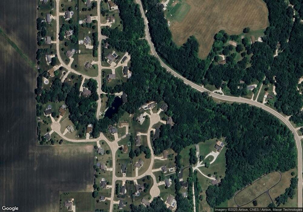
Map
Nearby Homes
- 2928 E 15th Rd
- 100 Great Loop East Dr
- 2951 E 1489th Rd
- 2950 E 1479 Rd
- 2961 E 1489th Rd
- 2954 E 1479th Rd
- 2970 E 1489th Rd
- 2974 E 1489th Rd
- 1487 N 2975th Rd
- 1428 Pickwick St
- VL Boyce Memorial Dr
- 1314 W Washington St
- 1307 W Washington St
- 3016 E 1489th Rd
- 1107 Sanger St
- 934 Evans St
- 1625 W Main St
- 1570 N 30th Rd Unit 46
- Lot 25 Andrew Ct at Seminole Dr
- 201, 311, & Lot's 3- 24th Ave
- 2924 E 1519th Rd
- 2921 E 1519th Rd
- 2922 E 1519th Rd
- 2926 E 1509th Rd
- 2918 E 1519th Rd
- 2820 E 1509th Rd
- 2917 E 1519th Rd
- 2932 E 1509th Rd
- 2822 E 1509th Rd
- 2916 E 1519th Rd
- 2928 E 1509th Rd
- 2814 E 1509th Rd
- 1983 N 2919th Rd
- 1982 N 2919th Rd
- 1984 N 2919th Rd
- 2913 E 1519th Rd
- 2934 E 1509th Rd
- 2912 E 1529th Rd
- 1986 N 2919th Rd
- 2927 E 1499th Rd
Your Personal Tour Guide
Ask me questions while you tour the home.