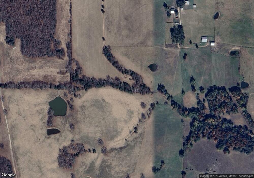
2925 High Point Rd Owensville, MO 65066
Estimated Value: $187,000 - $401,000
--
Bed
--
Bath
1,148
Sq Ft
$246/Sq Ft
Est. Value
About This Home
This home is located at 2925 High Point Rd, Owensville, MO 65066 and is currently estimated at $282,317, approximately $245 per square foot. 2925 High Point Rd is a home with nearby schools including Cuba Elementary School, Cuba Middle School, and Cuba High School.
Ownership History
Date
Name
Owned For
Owner Type
Purchase Details
Closed on
Sep 5, 2025
Sold by
William F Maerli Revocable Living Trust and Maerli Paul
Bought by
Maerli Mark A and Maerli Ann M
Current Estimated Value
Purchase Details
Closed on
Apr 26, 2024
Sold by
William F Maerli Revocable Living Trust and Maerli Paul
Bought by
Brinson Matthew and Brinson Mandy
Home Financials for this Owner
Home Financials are based on the most recent Mortgage that was taken out on this home.
Original Mortgage
$70,960
Interest Rate
6.74%
Mortgage Type
Credit Line Revolving
Purchase Details
Closed on
Jan 19, 2024
Sold by
Maerli William F
Bought by
William F Maerli Revocable Living Trust and Maerli
Create a Home Valuation Report for This Property
The Home Valuation Report is an in-depth analysis detailing your home's value as well as a comparison with similar homes in the area
Home Values in the Area
Average Home Value in this Area
Purchase History
| Date | Buyer | Sale Price | Title Company |
|---|---|---|---|
| Maerli Mark A | -- | None Listed On Document | |
| Brinson Matthew | -- | None Listed On Document | |
| William F Maerli Revocable Living Trust | -- | None Listed On Document |
Source: Public Records
Mortgage History
| Date | Status | Borrower | Loan Amount |
|---|---|---|---|
| Previous Owner | Brinson Matthew | $70,960 |
Source: Public Records
Tax History Compared to Growth
Tax History
| Year | Tax Paid | Tax Assessment Tax Assessment Total Assessment is a certain percentage of the fair market value that is determined by local assessors to be the total taxable value of land and additions on the property. | Land | Improvement |
|---|---|---|---|---|
| 2024 | $669 | $15,570 | $0 | $0 |
| 2023 | $667 | $15,570 | $0 | $0 |
| 2022 | $663 | $15,570 | $0 | $0 |
| 2021 | $662 | $15,570 | $0 | $0 |
| 2020 | $644 | $14,960 | $0 | $0 |
| 2019 | $644 | $14,960 | $0 | $0 |
| 2018 | $636 | $14,780 | $0 | $0 |
| 2017 | $590 | $14,780 | $0 | $0 |
| 2016 | $590 | $14,780 | $0 | $0 |
| 2015 | -- | $14,780 | $0 | $0 |
| 2014 | -- | $14,640 | $0 | $0 |
| 2013 | -- | $14,660 | $0 | $0 |
Source: Public Records
Map
Nearby Homes
- 2164 Spurgeon Rd
- 736 Westbrook Rd
- 0 Jakes Prairie Rd Unit Lot WP001 21859583
- 0 Jakes Prairie Rd
- 5975 Jakes Prairie Rd
- 3621 Highway 19
- 82 Lindberg Wood Ln
- 4218 Oak Hill Rd
- 4738 Gorrell Rd
- 4545 Red Bird Rd
- 4064 Highway 19
- 4393 Highway Dd
- 919 Lakeshore Dr
- 1109 Pawnee Dr
- 1117 Pawnee Dr
- 1119 Pawnee Dr
- 1235 Lakeshore Dr
- 1295 Lakeshore Dr
- 2270 Herbert Rd
- 1985 Lakeshore Dr
- 1987 High Point Rd
- 2092 High Point Rd
- 2238 High Point Rd
- 2408 High Point Rd
- 2816 High Point Rd
- 3061 High Point Rd
- 1890 High Point Rd
- 1984 High Point Rd
- 1984 High Point Rd
- 0 High Point Unit 17072096
- 1590 High Point Rd
- 2167 Davis Rd
- 1525 High Point Rd
- 14035 Highway F
- 1227 High Point Rd
- 4190 Four Mile Rd
- 3466 High Point Rd
- 12439 Highway F
- 1077 High Point Rd
- 3345 High Point Rd
