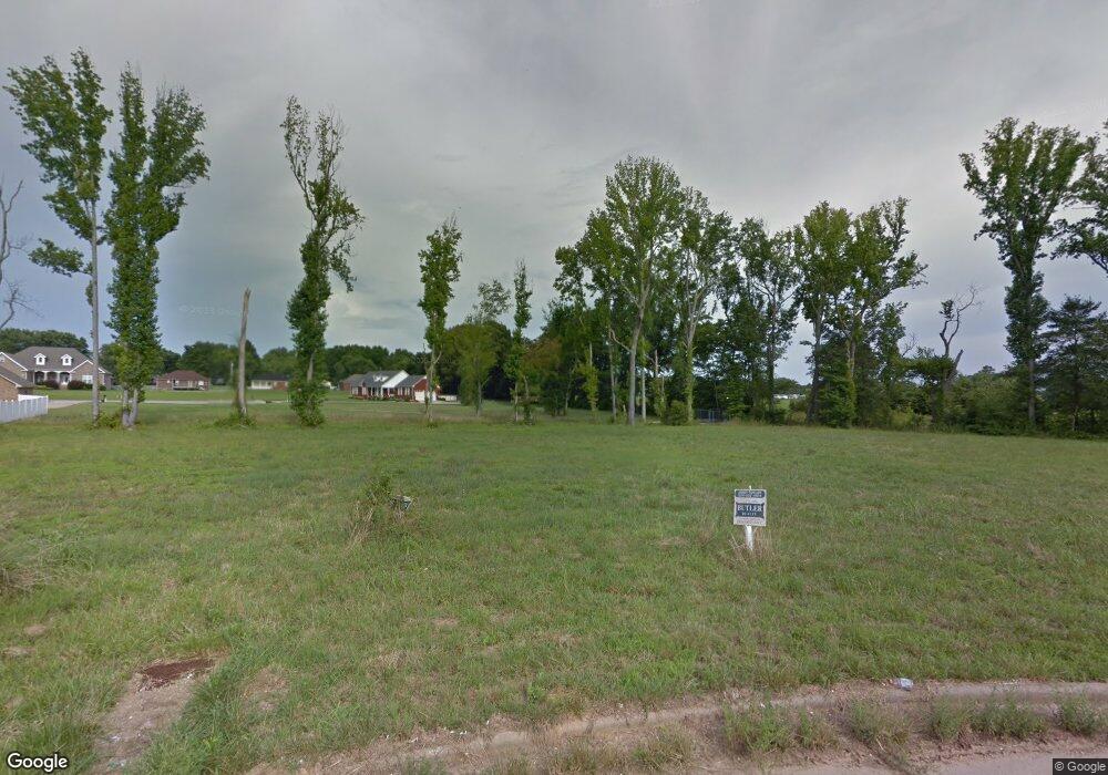
29256 Amy Cir Ardmore, AL 35739
Ardmore NeighborhoodEstimated Value: $260,000 - $284,944
--
Bed
--
Bath
1,727
Sq Ft
$160/Sq Ft
Est. Value
About This Home
This home is located at 29256 Amy Cir, Ardmore, AL 35739 and is currently estimated at $276,736, approximately $160 per square foot. 29256 Amy Cir is a home with nearby schools including Cedar Hill Elementary School and Ardmore High School.
Ownership History
Date
Name
Owned For
Owner Type
Purchase Details
Closed on
Mar 24, 2022
Sold by
Bochnia Ashley D
Bought by
Bochnia Anthony Scott
Current Estimated Value
Home Financials for this Owner
Home Financials are based on the most recent Mortgage that was taken out on this home.
Original Mortgage
$216,000
Outstanding Balance
$192,147
Interest Rate
0.41%
Mortgage Type
Construction
Estimated Equity
$84,589
Purchase Details
Closed on
Jun 21, 2019
Sold by
Phil Ridinger Home Builders Inc
Bought by
Bochnia Anthony Scott and Bochnia Ashley Dale
Home Financials for this Owner
Home Financials are based on the most recent Mortgage that was taken out on this home.
Original Mortgage
$162,000
Interest Rate
4%
Mortgage Type
New Conventional
Purchase Details
Closed on
Sep 21, 2018
Sold by
Bass Neal
Bought by
Phil Ridinger Home Builders Inc
Create a Home Valuation Report for This Property
The Home Valuation Report is an in-depth analysis detailing your home's value as well as a comparison with similar homes in the area
Home Values in the Area
Average Home Value in this Area
Purchase History
| Date | Buyer | Sale Price | Title Company |
|---|---|---|---|
| Bochnia Anthony Scott | $197,900 | Attorney Only | |
| Bochnia Anthony Scott | $180,000 | None Available | |
| Phil Ridinger Home Builders Inc | $19,900 | None Available |
Source: Public Records
Mortgage History
| Date | Status | Borrower | Loan Amount |
|---|---|---|---|
| Open | Bochnia Anthony Scott | $216,000 | |
| Previous Owner | Bochnia Anthony Scott | $162,000 |
Source: Public Records
Tax History Compared to Growth
Tax History
| Year | Tax Paid | Tax Assessment Tax Assessment Total Assessment is a certain percentage of the fair market value that is determined by local assessors to be the total taxable value of land and additions on the property. | Land | Improvement |
|---|---|---|---|---|
| 2024 | $1,200 | $28,940 | $0 | $0 |
| 2023 | $1,135 | $26,980 | $0 | $0 |
| 2022 | $895 | $22,960 | $0 | $0 |
| 2021 | $769 | $19,800 | $0 | $0 |
| 2020 | $691 | $17,840 | $0 | $0 |
| 2019 | $160 | $4,000 | $0 | $0 |
| 2018 | $160 | $4,000 | $0 | $0 |
| 2017 | $160 | $4,000 | $0 | $0 |
| 2016 | $160 | $20,000 | $0 | $0 |
| 2015 | $228 | $5,700 | $0 | $0 |
| 2014 | $228 | $0 | $0 | $0 |
Source: Public Records
Map
Nearby Homes
- .86 acres Whitt St
- 29854 Ardmore Ave
- 24994 7th St
- 25433 7th St
- 25467 7th St
- 6.95 Acres 7th St
- 29847 1st Ave W
- 26651 1st St
- 29238 1st Ave W
- 27615 Shannon Rd
- 30176 Highway 110
- 28669 Alabama Highway 251
- 26210 Stateline Rd
- 30518 Fort Hampton St
- 30619 Highway 110
- 29385 Mooresville Rd
- 29795 Gatlin Rd
- 30679 Ardmore Ridge Rd
- 30065 Bankston Rd
- 28165 Nuke Whitt Ln
- 29248 Amy Cir
- 29264 Amy Cir
- 29278 Amy Cir
- 29251 Amy Cir
- 29278 Amys Cir
- 29293 Briar Patch Ln
- 29240 Amy Cir
- 29281 Amy Cir
- 29228 Amy Cir
- 29292 Amy Cir
- 29313 Briar Patch Ln
- 29297 Amy Cir
- 29214 Amy Cir
- 29308 Amys Cir
- 29308 Amy Cir
- 29333 Briar Patch Ln
- 0 Briar Patch Rd Unit 1827446
- 0 Briar Patch Rd Unit 1082654
- 0 Briar Patch Rd Unit 420527
- 0 Briar Patch Rd Unit 519815
