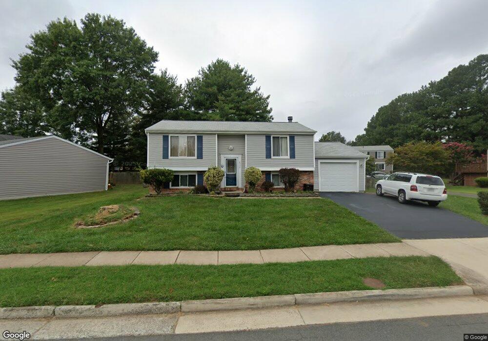
2926 Ashdown Forest Dr Herndon, VA 20171
Oak Hill NeighborhoodEstimated Value: $657,000 - $710,000
4
Beds
2
Baths
958
Sq Ft
$706/Sq Ft
Est. Value
About This Home
This home is located at 2926 Ashdown Forest Dr, Herndon, VA 20171 and is currently estimated at $676,641, approximately $706 per square foot. 2926 Ashdown Forest Dr is a home located in Fairfax County with nearby schools including Crossfield Elementary, Rachel Carson Middle School, and Oakton High.
Ownership History
Date
Name
Owned For
Owner Type
Purchase Details
Closed on
Oct 17, 2003
Sold by
Cantrell Kenneith R
Bought by
Chua Antonia
Current Estimated Value
Home Financials for this Owner
Home Financials are based on the most recent Mortgage that was taken out on this home.
Original Mortgage
$309,900
Outstanding Balance
$146,796
Interest Rate
6.43%
Mortgage Type
New Conventional
Estimated Equity
$529,845
Purchase Details
Closed on
May 29, 1997
Sold by
Rowland George F and Rowland Joyce I
Bought by
Cantrell Kenneth R and Cantrell Ella M
Create a Home Valuation Report for This Property
The Home Valuation Report is an in-depth analysis detailing your home's value as well as a comparison with similar homes in the area
Home Values in the Area
Average Home Value in this Area
Purchase History
| Date | Buyer | Sale Price | Title Company |
|---|---|---|---|
| Chua Antonia | $309,900 | -- | |
| Cantrell Kenneth R | $180,000 | -- |
Source: Public Records
Mortgage History
| Date | Status | Borrower | Loan Amount |
|---|---|---|---|
| Open | Cantrell Kenneth R | $309,900 |
Source: Public Records
Tax History
| Year | Tax Paid | Tax Assessment Tax Assessment Total Assessment is a certain percentage of the fair market value that is determined by local assessors to be the total taxable value of land and additions on the property. | Land | Improvement |
|---|---|---|---|---|
| 2025 | $6,823 | $593,950 | $269,000 | $324,950 |
| 2024 | $6,823 | $588,950 | $264,000 | $324,950 |
| 2023 | $6,377 | $565,050 | $259,000 | $306,050 |
| 2022 | $5,966 | $521,710 | $244,000 | $277,710 |
| 2021 | $5,932 | $505,480 | $234,000 | $271,480 |
| 2020 | $5,405 | $456,700 | $219,000 | $237,700 |
| 2019 | $5,377 | $454,350 | $219,000 | $235,350 |
| 2018 | $5,236 | $455,310 | $219,000 | $236,310 |
| 2017 | $4,978 | $428,750 | $209,000 | $219,750 |
| 2016 | $4,730 | $408,290 | $199,000 | $209,290 |
Source: Public Records
Map
Nearby Homes
- 12903 Oak Lawn Place
- 3003 Emerald Chase Dr
- 2982 Emerald Chase Dr
- 13205 Pleasant Glen Ct
- 2951 Franklin Oaks Dr
- 13132 Thornapple Place
- 3124 Ashburton Ave
- 12741 Oak Farms Dr
- 13214 Stone Heather Dr
- 12731 Oak Farms Dr
- 3001 Jeannie Anna Ct
- 13142 New Parkland Dr
- 12903 Pinecrest Rd
- 3240 Tayloe Ct
- 2622 Sheringham Dr
- 12615 Heritage Farm Ln
- 12709 Bradwell Rd
- 2781 Middleton Farm Ct
- 3006 Franklin Corner Ln
- 2658 Fanieul Hall Ct
- 2928 Ashdown Forest Dr
- 2924 Ashdown Forest Dr
- 2920 Ashdown Forest Dr
- 3043 Burchlawn St
- 2927 Ashdown Forest Dr
- 2925 Ashdown Forest Dr
- 2916 Ashdown Forest Dr
- 2929 Ashdown Forest Dr
- 13052 Kensal Green Ct
- 2917 Ashdown Forest Dr
- 13050 Kensal Green Ct
- 13054 Kensal Green Ct
- 2914 Ashdown Forest Dr
- 2930 Ashdown Forest Dr
- 2931 Ashdown Forest Dr
- 13010 Rock Spray Ct
- 13003 Mount Aubern Ct
- 2913 Ashdown Forest Dr
- 13011 Rock Spray Ct
- 2912 Ashdown Forest Dr
Your Personal Tour Guide
Ask me questions while you tour the home.