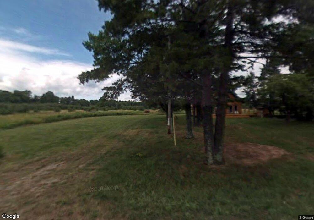
2926 Big Bay Rd La Pointe, WI 54850
Estimated Value: $433,000 - $629,000
--
Bed
--
Bath
--
Sq Ft
4.16
Acres
About This Home
This home is located at 2926 Big Bay Rd, La Pointe, WI 54850 and is currently estimated at $523,386. 2926 Big Bay Rd is a home with nearby schools including Bayfield High School.
Ownership History
Date
Name
Owned For
Owner Type
Purchase Details
Closed on
Mar 24, 2023
Sold by
Cook Flint I and Cook Jody L.
Bought by
Flint I Cook And Jody L Cook Revocable
Current Estimated Value
Purchase Details
Closed on
Apr 2, 2011
Sold by
Motisi Joseph J
Bought by
Cook Flint J and Cook Jody L
Home Financials for this Owner
Home Financials are based on the most recent Mortgage that was taken out on this home.
Original Mortgage
$270,000
Interest Rate
4.93%
Mortgage Type
Stand Alone Second
Create a Home Valuation Report for This Property
The Home Valuation Report is an in-depth analysis detailing your home's value as well as a comparison with similar homes in the area
Home Values in the Area
Average Home Value in this Area
Purchase History
| Date | Buyer | Sale Price | Title Company |
|---|---|---|---|
| Flint I Cook And Jody L Cook Revocable | $224,800 | Bollenbeck Law, S.C. | |
| Cook Flint J | -- | None Available |
Source: Public Records
Mortgage History
| Date | Status | Borrower | Loan Amount |
|---|---|---|---|
| Previous Owner | Cook Flint J | $270,000 |
Source: Public Records
Tax History Compared to Growth
Tax History
| Year | Tax Paid | Tax Assessment Tax Assessment Total Assessment is a certain percentage of the fair market value that is determined by local assessors to be the total taxable value of land and additions on the property. | Land | Improvement |
|---|---|---|---|---|
| 2024 | $7,780 | $377,900 | $127,400 | $250,500 |
| 2023 | $5,667 | $224,800 | $123,500 | $101,300 |
| 2022 | $5,246 | $224,800 | $123,500 | $101,300 |
| 2021 | $5,227 | $224,800 | $123,500 | $101,300 |
| 2020 | $5,084 | $224,800 | $123,500 | $101,300 |
| 2019 | $4,820 | $224,800 | $123,500 | $101,300 |
| 2018 | $4,532 | $224,800 | $123,500 | $101,300 |
| 2017 | $4,441 | $224,800 | $123,500 | $101,300 |
| 2016 | $4,449 | $224,800 | $123,500 | $101,300 |
| 2015 | $4,593 | $218,400 | $123,500 | $94,900 |
| 2014 | $4,188 | $232,100 | $137,200 | $94,900 |
| 2013 | $4,343 | $232,100 | $137,200 | $94,900 |
Source: Public Records
Map
Nearby Homes
- 1567 N Shore Rd
- 2572 N Shore Rd
- 3501 Big Bay Rd
- 3705 Big Bay Rd
- 3752 Big Bay Rd
- 3610 N Shore Rd
- 3756 N Shore Rd
- 2225 Hagen Rd
- 1161 Middle Rd
- 873 Middle Rd Unit 871 Middle Rd
- 804 Middle Rd
- 869 S Shore Rd
- Lot 1, Block 1 Raspberry Trail
- Lot 5 Raspberry Trail
- Lot 1, Block 2 Raspberry Trail
- Lot 6, Block 1 Raspberry Trail
- Lot 3, Block 1 Raspberry Trail
- Lot 2, Block 2 Raspberry Trail
- 438 Minnewawa Rd
- 434 Minnewawa Rd
- 2962 Big Bay Rd
- 2970 Big Bay Rd
- 2305 Umbrage Rd
- 2998 Big Bay Rd
- 2903 Big Bay Rd
- 2895 Big Bay Rd
- 3014 Big Bay Rd
- 2874 Big Bay Rd
- 2856 Big Bay Rd
- 2335 Umbrage Rd
- E3044 Big Bay Rd
- 3044 Big Bay Rd
- 2330 Umbrage Rd
- 2832 Big Bay Rd
- 2818 Big Bay Rd
- 2792 Big Bay Rd
- 2355 Umbrage Rd
- 2770 Big Bay Rd
- 3110 Big Bay Rd
- 3134 Big Bay Rd
