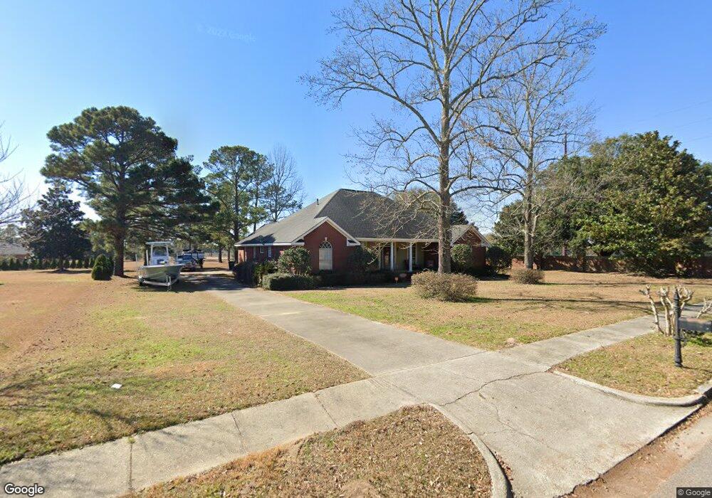
2926 Jenfield Dr Mobile, AL 36695
Westlake NeighborhoodEstimated Value: $403,413 - $640,000
4
Beds
3
Baths
3,177
Sq Ft
$153/Sq Ft
Est. Value
About This Home
This home is located at 2926 Jenfield Dr, Mobile, AL 36695 and is currently estimated at $486,353, approximately $153 per square foot. 2926 Jenfield Dr is a home located in Mobile County with nearby schools including Hutchens Elementary School, Dawes Intermediate School, and Bernice J Causey Middle School.
Ownership History
Date
Name
Owned For
Owner Type
Purchase Details
Closed on
Jun 20, 2001
Sold by
Moro Land Llc
Bought by
Superior Homes Llc
Current Estimated Value
Purchase Details
Closed on
Jun 16, 2000
Sold by
Moro Land Llc
Bought by
Superior Homes Llc
Purchase Details
Closed on
Dec 12, 1997
Sold by
Douglas Graham H and Douglas Yvonne H
Bought by
Lumpkin Michael Wayne and Lumpkin Stacy L
Home Financials for this Owner
Home Financials are based on the most recent Mortgage that was taken out on this home.
Original Mortgage
$24,900
Interest Rate
7.19%
Mortgage Type
Seller Take Back
Create a Home Valuation Report for This Property
The Home Valuation Report is an in-depth analysis detailing your home's value as well as a comparison with similar homes in the area
Home Values in the Area
Average Home Value in this Area
Purchase History
| Date | Buyer | Sale Price | Title Company |
|---|---|---|---|
| Superior Homes Llc | -- | -- | |
| Superior Homes Llc | -- | -- | |
| Lumpkin Michael Wayne | $28,900 | -- |
Source: Public Records
Mortgage History
| Date | Status | Borrower | Loan Amount |
|---|---|---|---|
| Previous Owner | Lumpkin Michael Wayne | $24,900 |
Source: Public Records
Tax History
| Year | Tax Paid | Tax Assessment Tax Assessment Total Assessment is a certain percentage of the fair market value that is determined by local assessors to be the total taxable value of land and additions on the property. | Land | Improvement |
|---|---|---|---|---|
| 2025 | $1,853 | $38,130 | $4,000 | $34,130 |
| 2024 | $1,853 | $38,290 | $3,700 | $34,590 |
| 2023 | $1,861 | $34,650 | $3,700 | $30,950 |
| 2022 | $1,364 | $29,500 | $3,700 | $25,800 |
| 2021 | $1,374 | $29,710 | $4,000 | $25,710 |
| 2020 | $1,390 | $30,030 | $4,000 | $26,030 |
| 2019 | $1,398 | $30,200 | $4,000 | $26,200 |
| 2018 | $1,430 | $30,860 | $0 | $0 |
| 2017 | $1,500 | $30,860 | $0 | $0 |
| 2016 | $1,445 | $31,180 | $0 | $0 |
| 2013 | $1,457 | $30,400 | $0 | $0 |
Source: Public Records
Map
Nearby Homes
- 10532 Ellenton St W
- 10518 Ellenton St W
- 10351 Jeff Hamilton Rd
- 10485 Ellenton St W
- 10497 Ellenton W
- 10511 Ellenton St W
- 10494 Ellenton St W
- 10521 Lowell St W
- 10595 Lowell St W
- 10550 Lowell St W
- 10508 Lowell St W
- 10520 Lowell St W
- 10501 Hopewell Loop
- 10523 Hopewell Loop
- 10491 Hopewell Loop
- 10479 Hopewell Loop
- 10542 Hopewell Loop
- 10522 Hopewell Loop
- 10510 Hopewell Loop
- 0 Jeff Hamilton Rd Unit 7613918
- 2936 Jenfield Dr
- 2921 Jenfield Dr
- 2931 Jenfield Dr
- 10531 Jeff Hamilton Rd
- 2946 Jenfield Dr Unit 1
- 2941 Jenfield Dr
- 2956 Jenfield Dr
- 10551 Jeff Hamilton Rd
- 2951 Jenfield Dr
- 2966 Jenfield Dr
- 2961 Jenfield Dr
- 10555 Jeff Hamilton Rd
- 2976 Jenfield Dr
- 10447 Jeff Hamilton Rd
- 2981 Jenfield Dr
- 3006 Jenfield Dr
- 10561 Jeff Hamilton Rd
- 3001 Jenfield Dr
- 10620 Sheffield Rd
- 10600 Jeff Hamilton Rd
Your Personal Tour Guide
Ask me questions while you tour the home.