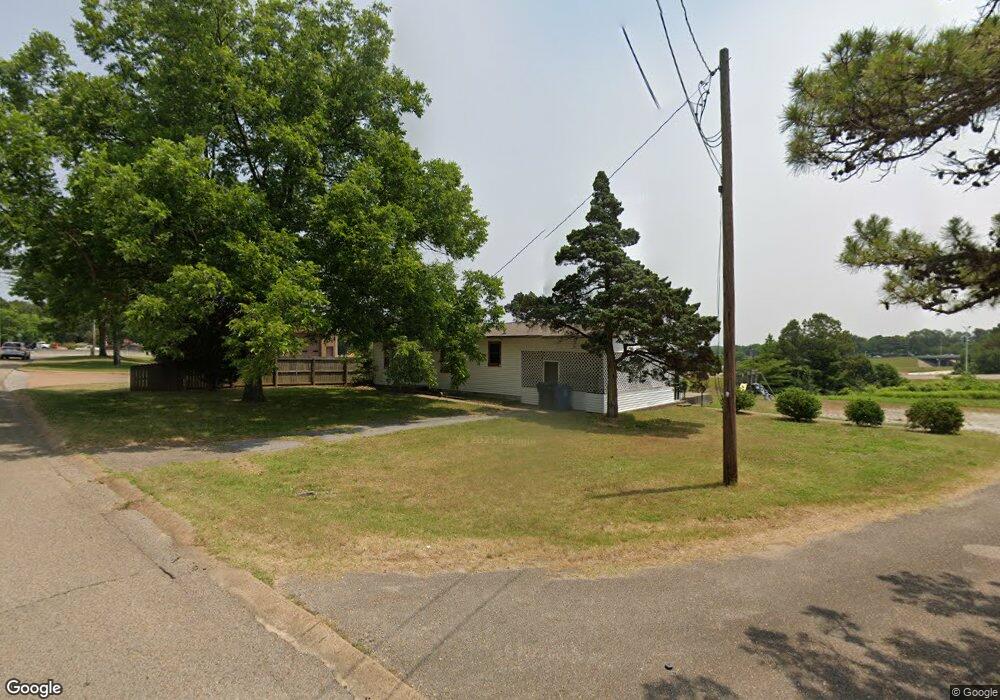
2926 Wood St Jonesboro, AR 72404
Estimated Value: $105,000 - $224,000
--
Bed
1
Bath
1,080
Sq Ft
$165/Sq Ft
Est. Value
About This Home
This home is located at 2926 Wood St, Jonesboro, AR 72404 and is currently estimated at $178,333, approximately $165 per square foot. 2926 Wood St is a home located in Craighead County with nearby schools including Annie Camp Junior High School, The Academies at Jonesboro High School, and Concordia Christian Academy.
Ownership History
Date
Name
Owned For
Owner Type
Purchase Details
Closed on
Mar 19, 2025
Sold by
Our Saviour Lutheran Church and Our Saviour Lutheran Church Elca
Bought by
Fischer Family Investments Inc
Current Estimated Value
Home Financials for this Owner
Home Financials are based on the most recent Mortgage that was taken out on this home.
Original Mortgage
$90,000
Outstanding Balance
$82,326
Interest Rate
6.89%
Mortgage Type
New Conventional
Estimated Equity
$96,007
Purchase Details
Closed on
Apr 13, 1987
Bought by
Missions Lutheran Ch
Create a Home Valuation Report for This Property
The Home Valuation Report is an in-depth analysis detailing your home's value as well as a comparison with similar homes in the area
Home Values in the Area
Average Home Value in this Area
Purchase History
| Date | Buyer | Sale Price | Title Company |
|---|---|---|---|
| Fischer Family Investments Inc | $100,000 | Nix Title | |
| Missions Lutheran Ch | $47,000 | -- |
Source: Public Records
Mortgage History
| Date | Status | Borrower | Loan Amount |
|---|---|---|---|
| Open | Fischer Family Investments Inc | $90,000 |
Source: Public Records
Tax History Compared to Growth
Tax History
| Year | Tax Paid | Tax Assessment Tax Assessment Total Assessment is a certain percentage of the fair market value that is determined by local assessors to be the total taxable value of land and additions on the property. | Land | Improvement |
|---|---|---|---|---|
| 2025 | $532 | -- | -- | -- |
| 2024 | $532 | $0 | $0 | $0 |
| 2023 | $532 | $12,610 | $4,000 | $8,610 |
| 2022 | $532 | $12,610 | $4,000 | $8,610 |
| 2021 | $532 | $12,610 | $4,000 | $8,610 |
| 2020 | $532 | $12,610 | $4,000 | $8,610 |
| 2019 | $532 | $12,610 | $4,000 | $8,610 |
| 2018 | $532 | $12,610 | $4,000 | $8,610 |
| 2017 | $532 | $12,610 | $4,000 | $8,610 |
| 2016 | $532 | $12,610 | $4,000 | $8,610 |
| 2015 | $532 | $12,610 | $4,000 | $8,610 |
| 2014 | $513 | $12,160 | $4,000 | $8,160 |
Source: Public Records
Map
Nearby Homes
- 806 Amberwood Cove
- 1702 Roleson Ln
- 795 S Hill Dr
- 3015 Brianna Cove
- 3019 Brianna Dr
- 700 Amberwood Cove
- 800 Southwest Dr
- 900 Melton Dr
- 18 Acres Parker Rd and Paula Dr
- 1804 Deerwood Dr
- 1805 Covey Dr
- 0 Parker Rd and Paula Dr
- 2318 Redbud Dr
- 2311 Wood St
- 1906 Carolyn Dr
- 3107 Springwood Dr
- 724 Locust Dr
- 3806 S Culberhouse Rd
- 3336 Carroll Dr
- 2305 Anne St
- 1600 Roleson Ln
- 1601 Roleson Ln
- 711 W Parker Rd
- 2921 Wood St
- 1602 Roleson Ln
- 1603 Roleson Ln
- 2915 Wood St
- 2935 Wood St
- 1604 Roleson Ln
- 1605 Roleson Ln
- 0 Roleson Ln
- 1606 Pinoak Place
- 1606 Roleson Ln
- 1608 Roleson Ln
- 1607 Roleson Ln
- 3001 Wood St
- 1610 Pinoak Place
- 3000 Wood St
- 1605 Pinoak Place
- 3013 Wood St