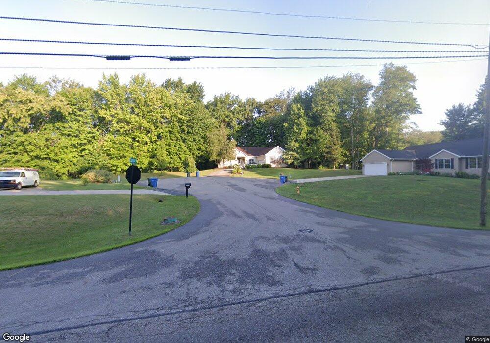
2927 David Ct Uniontown, OH 44685
Estimated Value: $395,007 - $494,000
3
Beds
2
Baths
2,352
Sq Ft
$183/Sq Ft
Est. Value
About This Home
This home is located at 2927 David Ct, Uniontown, OH 44685 and is currently estimated at $430,752, approximately $183 per square foot. 2927 David Ct is a home located in Summit County with nearby schools including Greenwood Elementary School, Green Primary School, and Green Intermediate Elementary School.
Ownership History
Date
Name
Owned For
Owner Type
Purchase Details
Closed on
Jul 25, 2022
Sold by
Tate Ralph E
Bought by
Tate Family Trust
Current Estimated Value
Purchase Details
Closed on
Nov 11, 2002
Sold by
Union Commerce Corp
Bought by
Tate Ralph E and Tate Jeannine C
Create a Home Valuation Report for This Property
The Home Valuation Report is an in-depth analysis detailing your home's value as well as a comparison with similar homes in the area
Purchase History
| Date | Buyer | Sale Price | Title Company |
|---|---|---|---|
| Tate Family Trust | -- | Flynn Keith & Flynn Llc | |
| Tate Ralph E | $51,000 | Endress/Lawyers Title |
Source: Public Records
Mortgage History
| Date | Status | Borrower | Loan Amount |
|---|---|---|---|
| Closed | Tate Ralph E | $0 |
Source: Public Records
Tax History
| Year | Tax Paid | Tax Assessment Tax Assessment Total Assessment is a certain percentage of the fair market value that is determined by local assessors to be the total taxable value of land and additions on the property. | Land | Improvement |
|---|---|---|---|---|
| 2025 | $5,948 | $120,600 | $25,330 | $95,270 |
| 2024 | $5,948 | $120,600 | $25,330 | $95,270 |
| 2023 | $5,948 | $120,600 | $25,330 | $95,270 |
| 2022 | $5,251 | $97,258 | $20,426 | $76,832 |
| 2021 | $4,933 | $97,258 | $20,426 | $76,832 |
| 2020 | $4,941 | $97,260 | $20,430 | $76,830 |
| 2019 | $5,006 | $92,400 | $20,200 | $72,200 |
| 2018 | $5,117 | $92,400 | $20,200 | $72,200 |
| 2017 | $4,723 | $92,400 | $20,200 | $72,200 |
| 2016 | $4,700 | $80,690 | $20,200 | $60,490 |
| 2015 | $4,723 | $80,690 | $20,200 | $60,490 |
| 2014 | $4,694 | $80,690 | $20,200 | $60,490 |
| 2013 | $4,300 | $73,320 | $20,200 | $53,120 |
Source: Public Records
Map
Nearby Homes
- 2958 E Turkeyfoot Lake Rd
- 3680 Timber Lake St NW
- 3788 Carl St NW
- 3586 Leafland St NW
- 3771 Edison St NW
- 2667 Spade Rd
- 2771 Superior Dr
- 11931 Walton Cir NW
- 3302 Ashton Dr
- 2941 Sweitzer Rd
- 2512 Twin Lakes Dr
- 2535 Royal County Down Unit B
- 2390 Auberry Dr
- 0 E Turkeyfoot Lake Rd Unit 5181695
- 3549 Elmhurst Cir
- 2348 E Turkeyfoot Lake Rd
- 843 Brodie Ct
- 835 Brodie Ct
- 13675 Cleveland Ave NW Unit 41
- 3411 Sweitzer St NW
- 2986 Kreighbaum Rd NW
- 3007 Matthew Ct
- 3010 Kreighbaum Rd NW
- 0 David Ct Unit 205 3265011
- 0 David Ct Unit 3693175
- S/L 205 David Ct
- 3008 Matthew Ct
- S/L 207 David Ct
- 0 David Ct Unit 3890671
- 2852 Crows Nest Cir
- 3000 Matthew Ct
- S/L 161 Matthew Ct
- 3034 Kreighbaum Rd NW
- 3025 Kreighbaum Rd NW
- 207 Kreighbaum
- 2827 Alexandria Ct
- 2836 Crows Nest Cir
- 3046 Kreighbaum Rd NW
- 2860 Crows Nest Cir
- 2815 Alexandria Ct
Your Personal Tour Guide
Ask me questions while you tour the home.