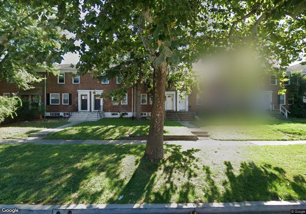
2927 Liberty Pkwy Dundalk, MD 21222
Estimated Value: $195,000 - $232,036
4
Beds
2
Baths
1,488
Sq Ft
$140/Sq Ft
Est. Value
About This Home
This home is located at 2927 Liberty Pkwy, Dundalk, MD 21222 and is currently estimated at $207,759, approximately $139 per square foot. 2927 Liberty Pkwy is a home located in Baltimore County with nearby schools including Dundalk Elementary, Dundalk Middle School, and Dundalk High School.
Ownership History
Date
Name
Owned For
Owner Type
Purchase Details
Closed on
Dec 29, 2023
Sold by
Mouzon Susan
Bought by
Mcbride Brandon
Current Estimated Value
Home Financials for this Owner
Home Financials are based on the most recent Mortgage that was taken out on this home.
Original Mortgage
$87,300
Outstanding Balance
$85,868
Interest Rate
7.29%
Mortgage Type
New Conventional
Estimated Equity
$121,891
Purchase Details
Closed on
Dec 9, 1998
Sold by
Neptune Ralph W
Bought by
Mouzon Timothy S
Create a Home Valuation Report for This Property
The Home Valuation Report is an in-depth analysis detailing your home's value as well as a comparison with similar homes in the area
Home Values in the Area
Average Home Value in this Area
Purchase History
| Date | Buyer | Sale Price | Title Company |
|---|---|---|---|
| Mcbride Brandon | $90,000 | Fidelity National Title | |
| Mcbride Brandon | $90,000 | Fidelity National Title | |
| Mouzon Timothy S | $68,000 | -- |
Source: Public Records
Mortgage History
| Date | Status | Borrower | Loan Amount |
|---|---|---|---|
| Open | Mcbride Brandon | $87,300 | |
| Closed | Mcbride Brandon | $87,300 |
Source: Public Records
Tax History Compared to Growth
Tax History
| Year | Tax Paid | Tax Assessment Tax Assessment Total Assessment is a certain percentage of the fair market value that is determined by local assessors to be the total taxable value of land and additions on the property. | Land | Improvement |
|---|---|---|---|---|
| 2025 | $2,257 | $158,000 | -- | -- |
| 2024 | $2,257 | $147,000 | $0 | $0 |
| 2023 | $2,112 | $136,000 | $32,000 | $104,000 |
| 2022 | $2,078 | $136,000 | $32,000 | $104,000 |
| 2021 | $2,259 | $136,000 | $32,000 | $104,000 |
| 2020 | $2,259 | $143,600 | $32,000 | $111,600 |
| 2019 | $1,587 | $130,933 | $0 | $0 |
| 2018 | $2,023 | $118,267 | $0 | $0 |
| 2017 | $1,999 | $105,600 | $0 | $0 |
| 2016 | $1,421 | $103,167 | $0 | $0 |
| 2015 | $1,421 | $100,733 | $0 | $0 |
| 2014 | $1,421 | $98,300 | $0 | $0 |
Source: Public Records
Map
Nearby Homes
- 2970 Yorkway
- 3004 Dunmurry Rd
- 2921 Yorkway
- 2930 Sollers Point Rd
- 2994 Sollers Rd
- 2994 Sollers Point Rd
- 3127 Cornwall Rd
- 3108 Sollers Point Rd
- 7011 Dunhill Rd
- 7014 Dunbar Rd
- 3112 Baybriar Rd
- 3013 Dunleer Rd
- 7014 Belclare Rd
- 98 Kentway
- 7608 Dunmanway
- 3129 Sollers Point Rd
- 3145 Yorkway
- 19 Flagship Rd
- 6919 Belclare Rd
- 3135 Sollers Point Rd
- 2925 Liberty Pkwy
- 2929 Liberty Pkwy
- 2923 Liberty Pkwy
- 2931 Liberty Pkwy
- 2933 Liberty Pkwy
- 2933 Liberty Pkwy Unit B
- 2933 Liberty Pkwy Unit A
- 2921 Liberty Pkwy
- 2935 Liberty Pkwy
- 2919 Liberty Pkwy
- 2937 Liberty Pkwy
- 2917 Liberty Pkwy
- 2915 Liberty Pkwy
- 2939 Liberty Pkwy
- 2930 Cornwall Rd
- 2932 Cornwall Rd
- 2934 Cornwall Rd
- 2928 Cornwall Rd
- 2936 Cornwall Rd
- 2926 Cornwall Rd