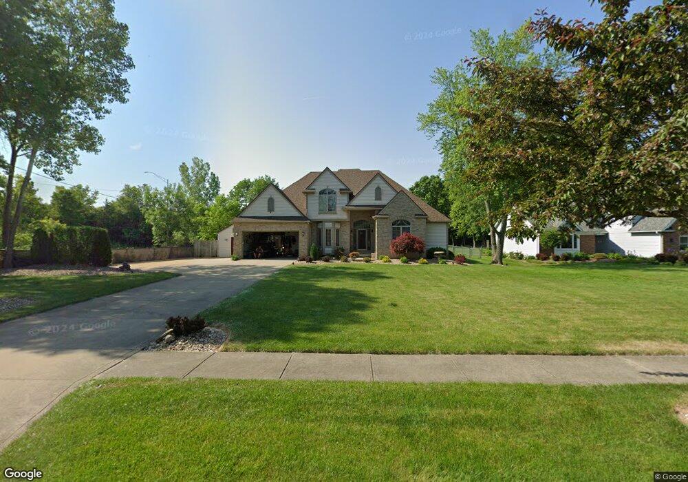
29275 Hastings Dr North Olmsted, OH 44070
Estimated Value: $431,000 - $530,000
4
Beds
3
Baths
3,219
Sq Ft
$146/Sq Ft
Est. Value
About This Home
This home is located at 29275 Hastings Dr, North Olmsted, OH 44070 and is currently estimated at $469,974, approximately $146 per square foot. 29275 Hastings Dr is a home located in Cuyahoga County with nearby schools including Chestnut Intermediate Elementary School, Pine Intermediate School, and North Olmsted Middle School.
Ownership History
Date
Name
Owned For
Owner Type
Purchase Details
Closed on
Feb 27, 2007
Sold by
Dunlap Curtis L
Bought by
Cairns John E and Cairns Amanda S
Current Estimated Value
Home Financials for this Owner
Home Financials are based on the most recent Mortgage that was taken out on this home.
Original Mortgage
$78,800
Interest Rate
6.02%
Mortgage Type
Unknown
Create a Home Valuation Report for This Property
The Home Valuation Report is an in-depth analysis detailing your home's value as well as a comparison with similar homes in the area
Home Values in the Area
Average Home Value in this Area
Purchase History
| Date | Buyer | Sale Price | Title Company |
|---|---|---|---|
| Cairns John E | $320,000 | Chicago Title Insurance C |
Source: Public Records
Mortgage History
| Date | Status | Borrower | Loan Amount |
|---|---|---|---|
| Closed | Cairns John E | $78,800 | |
| Open | Cairns John E | $240,000 |
Source: Public Records
Tax History Compared to Growth
Tax History
| Year | Tax Paid | Tax Assessment Tax Assessment Total Assessment is a certain percentage of the fair market value that is determined by local assessors to be the total taxable value of land and additions on the property. | Land | Improvement |
|---|---|---|---|---|
| 2024 | $9,355 | $136,500 | $10,955 | $125,545 |
| 2023 | $9,905 | $121,280 | $20,270 | $101,010 |
| 2022 | $9,853 | $121,280 | $20,270 | $101,010 |
| 2021 | $8,917 | $121,280 | $20,270 | $101,010 |
| 2020 | $8,185 | $98,600 | $16,490 | $82,110 |
| 2019 | $7,965 | $281,700 | $47,100 | $234,600 |
| 2018 | $8,078 | $98,600 | $16,490 | $82,110 |
| 2017 | $8,118 | $91,220 | $15,790 | $75,430 |
| 2016 | $8,048 | $91,220 | $15,790 | $75,430 |
| 2015 | $7,857 | $91,220 | $15,790 | $75,430 |
| 2014 | $7,857 | $88,550 | $15,330 | $73,220 |
Source: Public Records
Map
Nearby Homes
- 0 Stearns Rd
- 6305 Christman Dr
- 6281 Christman Dr
- 6723 Warrington Dr
- 28628 Aspen Dr
- 6321 Brighton Dr
- 29667 Bretton Ridge Dr
- 29408 Stewart Dr
- 28625 Elder Dr
- 6617 Sutton Dr
- 30247 Lorain Rd
- 5920 Sherwood Dr
- 5833 Stearns Rd
- 6427 Mackenzie Rd
- 29861 Wellington Dr
- 6580 Barton Rd
- 28130 Angela Dr
- 6612 Louann Dr
- 30630 Lorain Rd
- 6926 Mackenzie Rd
- 29307 Hastings Dr
- 6383 Somerset Dr
- 6397 Somerset Dr
- 6369 Somerset Dr
- 6368 Hastings Dr
- 6411 Somerset Dr
- 6425 Somerset Dr
- 6358 Hastings Dr
- 6343 Somerset Dr
- 6431 Somerset Dr
- 6329 Somerset Dr
- 6348 Hastings Dr
- 6388 Somerset Dr
- 6376 Somerset Dr
- 6400 Somerset Dr
- 6315 Somerset Dr
- 6364 Somerset Dr
- 6439 Somerset Dr
- 6328 Hastings Dr
- 6352 Somerset Dr