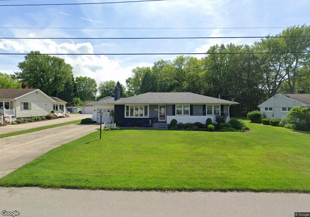
2928 Homestead Dr Erie, PA 16506
Millcreek NeighborhoodEstimated Value: $254,000 - $321,000
3
Beds
1
Bath
1,220
Sq Ft
$227/Sq Ft
Est. Value
About This Home
This home is located at 2928 Homestead Dr, Erie, PA 16506 and is currently estimated at $276,651, approximately $226 per square foot. 2928 Homestead Dr is a home located in Erie County with nearby schools including McDowell High School, Westlake Middle School, and Grandview Elementary School.
Ownership History
Date
Name
Owned For
Owner Type
Purchase Details
Closed on
May 13, 2013
Sold by
Blake Ronald W and Blake Linda L
Bought by
Blake Linda L
Current Estimated Value
Purchase Details
Closed on
Mar 26, 2008
Sold by
Yezzi Cecelia M
Bought by
Blake Linda L
Home Financials for this Owner
Home Financials are based on the most recent Mortgage that was taken out on this home.
Original Mortgage
$18,500
Outstanding Balance
$11,774
Interest Rate
6.06%
Mortgage Type
Credit Line Revolving
Estimated Equity
$264,877
Create a Home Valuation Report for This Property
The Home Valuation Report is an in-depth analysis detailing your home's value as well as a comparison with similar homes in the area
Home Values in the Area
Average Home Value in this Area
Purchase History
| Date | Buyer | Sale Price | Title Company |
|---|---|---|---|
| Blake Linda L | -- | None Available | |
| Blake Linda L | $139,000 | None Available |
Source: Public Records
Mortgage History
| Date | Status | Borrower | Loan Amount |
|---|---|---|---|
| Open | Blake Linda L | $18,500 | |
| Open | Blake Linda L | $106,000 |
Source: Public Records
Tax History Compared to Growth
Tax History
| Year | Tax Paid | Tax Assessment Tax Assessment Total Assessment is a certain percentage of the fair market value that is determined by local assessors to be the total taxable value of land and additions on the property. | Land | Improvement |
|---|---|---|---|---|
| 2025 | $3,977 | $144,720 | $28,000 | $116,720 |
| 2024 | $3,873 | $144,720 | $28,000 | $116,720 |
| 2023 | $3,656 | $144,720 | $28,000 | $116,720 |
| 2022 | $3,513 | $144,720 | $28,000 | $116,720 |
| 2021 | $3,475 | $144,720 | $28,000 | $116,720 |
| 2020 | $3,439 | $144,720 | $28,000 | $116,720 |
| 2019 | $3,382 | $144,720 | $28,000 | $116,720 |
| 2018 | $3,299 | $144,720 | $28,000 | $116,720 |
| 2017 | $3,291 | $144,720 | $28,000 | $116,720 |
| 2016 | $3,864 | $144,720 | $28,000 | $116,720 |
| 2015 | $3,828 | $144,720 | $28,000 | $116,720 |
| 2014 | $1,228 | $144,720 | $28,000 | $116,720 |
Source: Public Records
Map
Nearby Homes
- 2828 Carter Ave
- 3102 Colonial Ave
- 3942 W Ridge Rd
- 3905 Vista Dr Unit 8
- 3002 Bement St
- 4104 Greenway Dr Unit 35
- 3233 W 26th St
- 3026 Caton St
- 3114 Contessa Ln
- 4202 W Ridge Rd
- 3233 W 22nd St
- 2832 Madeira Dr
- 3159 Aberdeen Ave
- 3118 Greeley Ave
- 4460 Sterrettania Rd
- 0 Sterrettania Rd Unit 188768
- 801 Rustic Ln
- 808 Rustic Ln
- 809 Rustic Ln
- 807 Rustic Ln
- 2920 Homestead Dr
- 2910 Homestead Dr
- 3018 Homestead Dr
- 3664 Meadow Dr
- 3005 Homestead Dr
- 2923 Homestead Dr
- 3704 Meadow Dr
- 2902 Homestead Dr
- 3710 Meadow Dr
- 2913 Homestead Dr
- 3640 Meadow Dr
- 3716 Meadow Dr
- 2903 Homestead Dr
- 2820 Homestead Dr
- 3720 Meadow Dr
- 2903 Carter Ave
- 3001 Carter Ave
- 2913 Carter Ave
- 2909 Carter Ave
- 3643 Meadow Dr