2929 Durand Hwy Unit 1 Warm Springs, GA 31830
Estimated Value: $49,010
--
Bed
--
Bath
--
Sq Ft
2.38
Acres
About This Home
This home is located at 2929 Durand Hwy Unit 1, Warm Springs, GA 31830 and is currently priced at $49,010. 2929 Durand Hwy Unit 1 is a home located in Meriwether County with nearby schools including Mountain View Elementary School, Manchester Middle School, and Manchester High School.
Ownership History
Date
Name
Owned For
Owner Type
Purchase Details
Closed on
Oct 27, 2010
Sold by
Clark Roger Stanley
Bought by
Hope Harbor Inc
Current Estimated Value
Purchase Details
Closed on
Feb 22, 2008
Sold by
Bank Of Upson
Bought by
Clark Roger Stanley and Clark Delaine T
Home Financials for this Owner
Home Financials are based on the most recent Mortgage that was taken out on this home.
Original Mortgage
$20,681
Interest Rate
5.46%
Mortgage Type
Commercial
Purchase Details
Closed on
Jan 2, 2008
Sold by
Bank Of Upson
Bought by
Bank Of Upson
Home Financials for this Owner
Home Financials are based on the most recent Mortgage that was taken out on this home.
Original Mortgage
$20,681
Interest Rate
5.46%
Mortgage Type
Commercial
Purchase Details
Closed on
Apr 1, 1994
Sold by
Greenville Mort Inc
Bought by
Ramey John L and Ramey Tambu
Purchase Details
Closed on
Oct 1, 1985
Sold by
Durham Claude and Durham Eta
Bought by
Greenville Mort Inc
Create a Home Valuation Report for This Property
The Home Valuation Report is an in-depth analysis detailing your home's value as well as a comparison with similar homes in the area
Home Values in the Area
Average Home Value in this Area
Purchase History
| Date | Buyer | Sale Price | Title Company |
|---|---|---|---|
| Hope Harbor Inc | $23,674 | -- | |
| Hope Harbor Inc | $23,674 | -- | |
| Clark Roger Stanley | $20,000 | -- | |
| Bank Of Upson | -- | -- | |
| Ramey John L | $4,500 | -- | |
| Greenville Mort Inc | -- | -- |
Source: Public Records
Mortgage History
| Date | Status | Borrower | Loan Amount |
|---|---|---|---|
| Previous Owner | Clark Roger Stanley | $20,681 |
Source: Public Records
Tax History Compared to Growth
Tax History
| Year | Tax Paid | Tax Assessment Tax Assessment Total Assessment is a certain percentage of the fair market value that is determined by local assessors to be the total taxable value of land and additions on the property. | Land | Improvement |
|---|---|---|---|---|
| 2024 | -- | $8,880 | $8,880 | $0 |
| 2023 | $307 | $8,880 | $8,880 | $0 |
| 2022 | $307 | $8,880 | $8,880 | $0 |
| 2021 | $321 | $8,880 | $8,880 | $0 |
| 2020 | $321 | $8,880 | $8,880 | $0 |
| 2019 | $321 | $8,880 | $8,880 | $0 |
| 2018 | $0 | $8,880 | $8,880 | $0 |
| 2017 | $292 | $8,880 | $8,880 | $0 |
| 2016 | $292 | $8,880 | $8,880 | $0 |
| 2015 | -- | $8,880 | $8,880 | $0 |
| 2014 | -- | $8,880 | $8,880 | $0 |
| 2013 | -- | $8,880 | $8,880 | $0 |
Source: Public Records
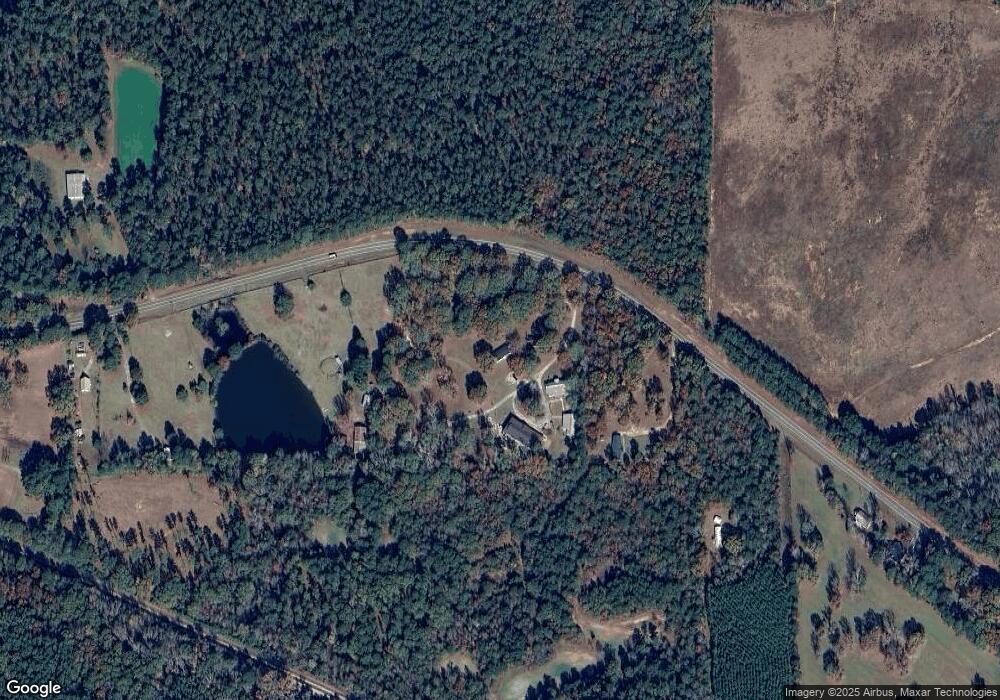
Map
Nearby Homes
- 0 Durand Hwy Unit 24120903
- 0 Durand Hwy Unit 10561757
- 353 Parham Rd
- 5100 Durand Hwy
- 514 Phillips Rd
- 188 Hidden Lakes Rd
- 0 County Line Church Rd Unit 10583557
- 0 Roosevelt Hwy Unit 10548840
- 243 Pine Knoll Dr
- 75 ACRES Roosevelt Hwy
- 71 ACRES Roosevelt Hwy
- 0 Winter Rd Unit 10498954
- 0 Whitehouse Pkwy Unit 10593573
- 146 ACRES Roosevelt Hwy
- 116 Green St
- 3688 Whitehouse Pkwy
- 101 Leverett St
- 0 Spring St
- 261 Green St
- 33 Mill St
- 2929 Durand Hwy
- 2859 Durand Hwy
- 350 Brooks Bowden Mill Rd
- 0 Durand Rd Unit 8204709
- 0 Durand Hwy Unit 181240
- 0 Durand Hwy Unit 8676531
- 0 Durand Hwy Unit 8520997
- 0 Durand Hwy Unit 8285034
- 0 Durand Hwy Unit 7016101
- 0 Durand Hwy Unit 3033263
- 0 Durand Hwy Unit 8739618
- 0 Durand Hwy Unit 3.07 AC 9019947
- 3.07 AC Durand Hwy
- 0 Durand Hwy Unit 8859456
- 0 Durand Hwy Unit 8839831
- 0 Durand Hwy
- 2667 Durand Hwy
- 2617 Durand Hwy
- 2612 Durand Hwy
- 3245 Durand Hwy