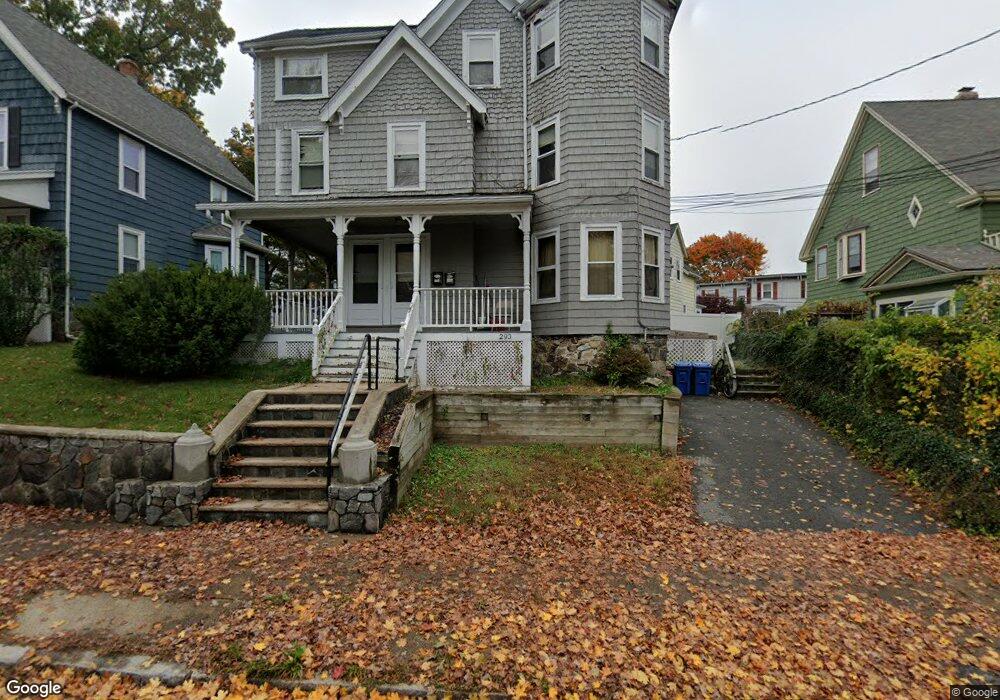
293 Albion St Unit 2 Wakefield, MA 01880
West Side NeighborhoodEstimated Value: $857,000 - $921,000
3
Beds
1
Bath
1,300
Sq Ft
$689/Sq Ft
Est. Value
About This Home
This home is located at 293 Albion St Unit 2, Wakefield, MA 01880 and is currently estimated at $896,017, approximately $689 per square foot. 293 Albion St Unit 2 is a home located in Middlesex County with nearby schools including Wakefield Memorial High School, St Joseph School, and St. Patrick Elementary School.
Ownership History
Date
Name
Owned For
Owner Type
Purchase Details
Closed on
Aug 6, 2001
Sold by
Byrne Brendan and Byrne Elizabeth
Bought by
Ekhator Wilfred and Ekhator Olanrewaju
Current Estimated Value
Home Financials for this Owner
Home Financials are based on the most recent Mortgage that was taken out on this home.
Original Mortgage
$319,500
Outstanding Balance
$124,542
Interest Rate
7.14%
Mortgage Type
Purchase Money Mortgage
Estimated Equity
$771,475
Purchase Details
Closed on
Nov 27, 2000
Sold by
Macdonald Kenneth and Macdonald Clayre
Bought by
Byrne Brendan and Byrne Elizabeth
Home Financials for this Owner
Home Financials are based on the most recent Mortgage that was taken out on this home.
Original Mortgage
$184,000
Interest Rate
7.78%
Mortgage Type
Purchase Money Mortgage
Create a Home Valuation Report for This Property
The Home Valuation Report is an in-depth analysis detailing your home's value as well as a comparison with similar homes in the area
Home Values in the Area
Average Home Value in this Area
Purchase History
| Date | Buyer | Sale Price | Title Company |
|---|---|---|---|
| Ekhator Wilfred | $355,000 | -- | |
| Byrne Brendan | $230,000 | -- |
Source: Public Records
Mortgage History
| Date | Status | Borrower | Loan Amount |
|---|---|---|---|
| Open | Byrne Brendan | $319,500 | |
| Previous Owner | Byrne Brendan | $184,000 | |
| Previous Owner | Byrne Brendan | $115,200 |
Source: Public Records
Tax History
| Year | Tax Paid | Tax Assessment Tax Assessment Total Assessment is a certain percentage of the fair market value that is determined by local assessors to be the total taxable value of land and additions on the property. | Land | Improvement |
|---|---|---|---|---|
| 2025 | $7,783 | $685,700 | $282,400 | $403,300 |
| 2024 | $7,638 | $678,900 | $279,600 | $399,300 |
| 2023 | $7,234 | $616,700 | $254,000 | $362,700 |
| 2022 | $6,969 | $565,700 | $233,000 | $332,700 |
| 2021 | $6,282 | $493,500 | $210,400 | $283,100 |
| 2020 | $6,024 | $471,700 | $201,100 | $270,600 |
| 2019 | $5,718 | $445,700 | $189,700 | $256,000 |
| 2018 | $5,431 | $419,400 | $178,500 | $240,900 |
| 2017 | $5,280 | $405,200 | $172,400 | $232,800 |
| 2016 | $4,962 | $367,800 | $169,500 | $198,300 |
| 2015 | $4,726 | $350,600 | $161,600 | $189,000 |
| 2014 | $4,392 | $343,700 | $158,400 | $185,300 |
Source: Public Records
Map
Nearby Homes
- 55 Bartley St
- 248 Albion St Unit 231
- 248 Albion St Unit 321
- 69 Foundry St Unit 310
- 69 Foundry St Unit 416
- 62 Foundry St Unit 310
- 62 Foundry St Unit 204
- 62 Foundry St Unit 402
- 62 Foundry St Unit 507
- 62 Foundry St Unit 208
- 62 Foundry St Unit 414
- 62 Foundry St Unit 210
- 39 Cedar St
- 3 Valley Rd
- 95 Prospect St
- 11 Valdora Dr
- 62 High St Unit Lot 8
- 62 High St Unit 4
- 62 High St Unit Lot 5
- 62 High St Unit Lot 12
Your Personal Tour Guide
Ask me questions while you tour the home.