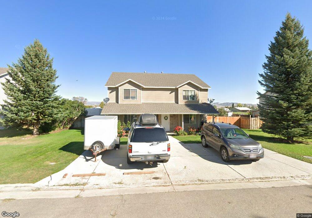
293 E 1220 S Vernal, UT 84078
Estimated Value: $199,000 - $236,000
3
Beds
2
Baths
1,324
Sq Ft
$166/Sq Ft
Est. Value
About This Home
This home is located at 293 E 1220 S, Vernal, UT 84078 and is currently estimated at $219,693, approximately $165 per square foot. 293 E 1220 S is a home located in Uintah County with nearby schools including Naples School, Vernal Middle School, and Uintah Middle School.
Ownership History
Date
Name
Owned For
Owner Type
Purchase Details
Closed on
Oct 14, 2010
Sold by
Federal Home Loan Mortgage Corporation
Bought by
Eagle Nest Meadow Llc
Current Estimated Value
Purchase Details
Closed on
Mar 5, 2010
Sold by
Morris Melanie and Wells Fargo Bank Na
Bought by
Federal Home Loan Mortgage Corporation
Purchase Details
Closed on
May 31, 2007
Sold by
Mack Group Llc
Bought by
Morris Melanie
Home Financials for this Owner
Home Financials are based on the most recent Mortgage that was taken out on this home.
Original Mortgage
$198,000
Interest Rate
6.12%
Mortgage Type
New Conventional
Create a Home Valuation Report for This Property
The Home Valuation Report is an in-depth analysis detailing your home's value as well as a comparison with similar homes in the area
Purchase History
| Date | Buyer | Sale Price | Title Company |
|---|---|---|---|
| Eagle Nest Meadow Llc | -- | -- | |
| Federal Home Loan Mortgage Corporation | $76,950 | -- | |
| Morris Melanie | -- | -- |
Source: Public Records
Mortgage History
| Date | Status | Borrower | Loan Amount |
|---|---|---|---|
| Previous Owner | Morris Melanie | $198,000 |
Source: Public Records
Tax History
| Year | Tax Paid | Tax Assessment Tax Assessment Total Assessment is a certain percentage of the fair market value that is determined by local assessors to be the total taxable value of land and additions on the property. | Land | Improvement |
|---|---|---|---|---|
| 2024 | $787 | $95,373 | $1 | $95,372 |
| 2023 | $802 | $80,825 | $1 | $80,824 |
| 2022 | $692 | $67,080 | $0 | $67,080 |
| 2021 | $680 | $54,097 | $6,064 | $48,033 |
| 2020 | $599 | $48,950 | $6,064 | $42,886 |
| 2019 | $606 | $48,950 | $6,064 | $42,886 |
| 2018 | $606 | $48,950 | $6,064 | $42,886 |
| 2017 | $7 | $54,154 | $8,086 | $46,068 |
| 2016 | $668 | $59,273 | $8,086 | $51,187 |
| 2015 | $615 | $59,273 | $8,086 | $51,187 |
| 2014 | $608 | $59,273 | $8,086 | $51,187 |
| 2013 | $621 | $59,273 | $8,086 | $51,187 |
Source: Public Records
Map
Nearby Homes
- 295 E 1220 S
- 295 E 1220 S Unit B
- 295 E 1220 S Unit A
- 275 E 1220 S
- 311 E 1220 S
- 313 E 1220 S Unit B
- 313 E 1220 S Unit A
- 313 E 1220 S
- 271 E 1220 S Unit B
- 271 E 1220 S Unit A
- 269 E 1220 S
- 285 E 1220 S Unit B
- 285 E 1220 S Unit A
- 325 E 1220 S
- 267 E 1220 S
- 327 E 1220 S Unit A
- 327 E 1220 S
- 341 E 1220 S
- 343 E 1220 S
- 224 E 1150 S
Your Personal Tour Guide
Ask me questions while you tour the home.