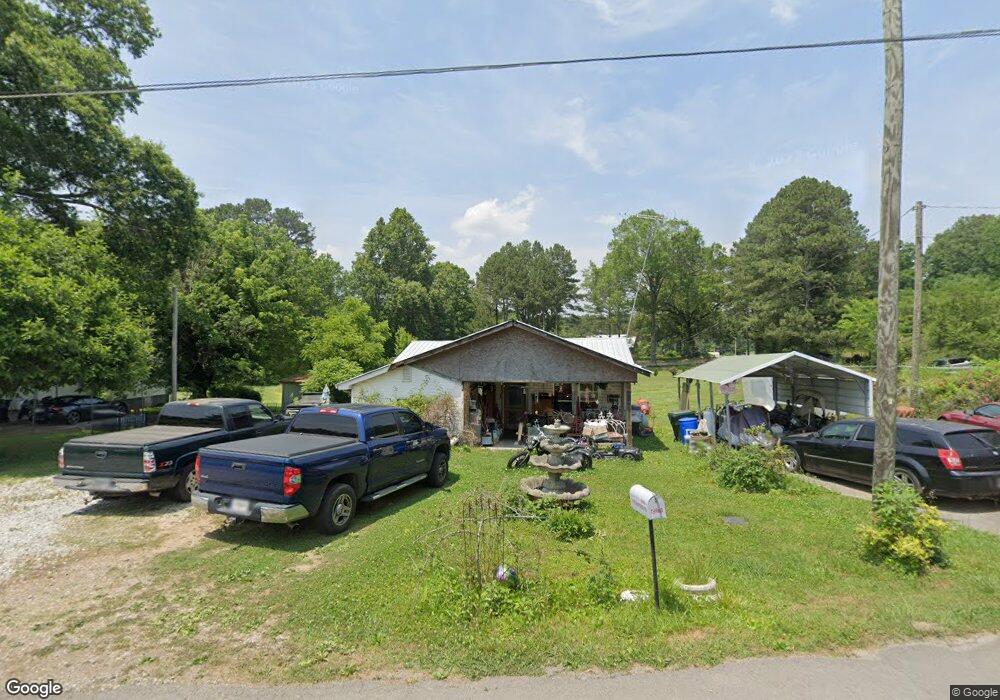
293 E Turnipseed Rd Rock Spring, GA 30739
Rock Spring NeighborhoodEstimated Value: $118,061 - $195,000
Studio
1
Bath
1,020
Sq Ft
$154/Sq Ft
Est. Value
About This Home
This home is located at 293 E Turnipseed Rd, Rock Spring, GA 30739 and is currently estimated at $157,015, approximately $153 per square foot. 293 E Turnipseed Rd is a home located in Walker County with nearby schools including Lafayette High School.
Ownership History
Date
Name
Owned For
Owner Type
Purchase Details
Closed on
Apr 13, 2018
Sold by
Burrows Rachel Ann
Bought by
Snider Bobby V and Snider Mary Ann
Current Estimated Value
Purchase Details
Closed on
Dec 29, 2006
Sold by
Thompson Rebecca P
Bought by
Snider V Bobby
Purchase Details
Closed on
Sep 19, 1984
Sold by
John Sampley
Bought by
Thompson Rebecca P
Purchase Details
Closed on
Jan 1, 1972
Bought by
John Sampley
Create a Home Valuation Report for This Property
The Home Valuation Report is an in-depth analysis detailing your home's value as well as a comparison with similar homes in the area
Home Values in the Area
Average Home Value in this Area
Purchase History
| Date | Buyer | Sale Price | Title Company |
|---|---|---|---|
| Snider Bobby V | $3,000 | -- | |
| Snider V Bobby | $35,000 | -- | |
| Thompson Rebecca P | -- | -- | |
| John Sampley | -- | -- |
Source: Public Records
Tax History
| Year | Tax Paid | Tax Assessment Tax Assessment Total Assessment is a certain percentage of the fair market value that is determined by local assessors to be the total taxable value of land and additions on the property. | Land | Improvement |
|---|---|---|---|---|
| 2025 | $888 | $38,086 | $5,856 | $32,230 |
| 2024 | $901 | $37,301 | $6,697 | $30,604 |
| 2023 | $855 | $34,385 | $5,315 | $29,070 |
| 2022 | $769 | $28,711 | $3,853 | $24,858 |
| 2021 | $607 | $19,646 | $3,853 | $15,793 |
| 2020 | $552 | $16,847 | $3,853 | $12,994 |
| 2019 | $561 | $16,847 | $3,853 | $12,994 |
| 2018 | $440 | $16,618 | $4,008 | $12,610 |
| 2017 | $600 | $16,618 | $4,008 | $12,610 |
| 2016 | $537 | $16,618 | $4,008 | $12,610 |
| 2015 | $486 | $13,684 | $2,368 | $11,316 |
| 2014 | $410 | $13,684 | $2,368 | $11,316 |
| 2013 | -- | $13,684 | $2,368 | $11,316 |
Source: Public Records
Map
Nearby Homes
- 229 E Turnipseed Rd
- 1121 Arnold Rd
- 42 Hope Dr
- 788 Long Hollow Rd
- 918 Old Lafayette Rd
- 195 Honeysuckle Dr
- 1909 Old Lafayette Rd
- 59 Honeysuckle Dr
- 1902 Long Hollow Rd
- 200 Hunting Ridge Cir
- 36 Pheonix Cir
- 74 Hanshaw Dr
- 190 Vaughn Dr
- 140 Fieldstone Commons
- 223 Cooper Rd
- 136 Ginger Lake Dr
- 149 Stone Throw Ln
- 135 Stone Throw Ln
- 269 Quartz Dr
- 74 Sycamore Dr
- 273 E Turnipseed Rd
- 251 E Turnipseed Rd
- 994 Arnold Rd
- 1019 Arnold Rd
- 1067 Arnold Rd
- 976 Arnold Rd
- 942 Arnold Rd
- 226 E Turnipseed Rd
- 1142 Arnold Rd
- 908 Arnold Rd
- 1137 Arnold Rd
- 193 E Turnipseed Rd
- 876 Arnold Rd
- 876 Arnold Rd Unit 1
- 1224 Arnold Rd
- 161 E Turnipseed Rd
- 903 Arnold Rd
- 129 E Turnipseed Rd
- 99 E Turnipseed Rd
- 833 Arnold Rd
Your Personal Tour Guide
Ask me questions while you tour the home.