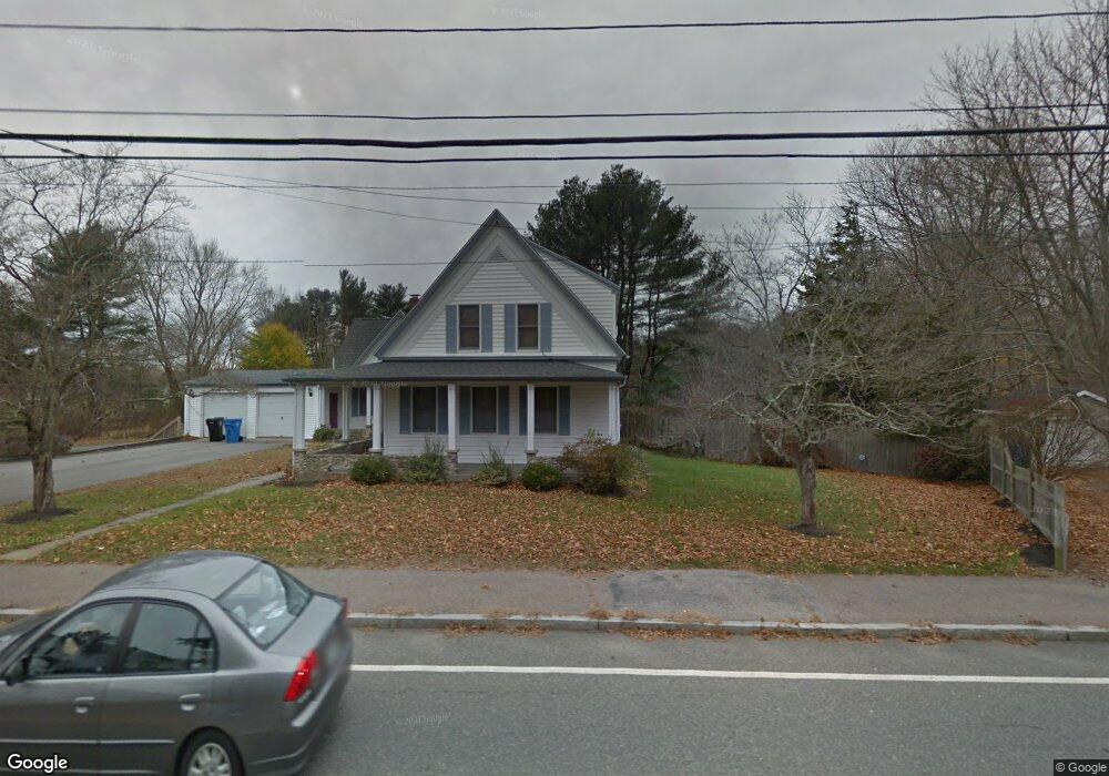
293 Franklin St Whitman, MA 02382
Estimated Value: $595,000 - $745,000
3
Beds
3
Baths
2,113
Sq Ft
$321/Sq Ft
Est. Value
About This Home
This home is located at 293 Franklin St, Whitman, MA 02382 and is currently estimated at $678,345, approximately $321 per square foot. 293 Franklin St is a home with nearby schools including St Bridget School.
Ownership History
Date
Name
Owned For
Owner Type
Purchase Details
Closed on
Nov 27, 2012
Sold by
Whitman Investments Ll
Bought by
Reader Michael and Reader Danielle
Current Estimated Value
Home Financials for this Owner
Home Financials are based on the most recent Mortgage that was taken out on this home.
Original Mortgage
$251,000
Outstanding Balance
$174,311
Interest Rate
3.42%
Mortgage Type
New Conventional
Estimated Equity
$504,034
Create a Home Valuation Report for This Property
The Home Valuation Report is an in-depth analysis detailing your home's value as well as a comparison with similar homes in the area
Home Values in the Area
Average Home Value in this Area
Purchase History
| Date | Buyer | Sale Price | Title Company |
|---|---|---|---|
| Reader Michael | $319,900 | -- | |
| Reader Michael | $319,900 | -- |
Source: Public Records
Mortgage History
| Date | Status | Borrower | Loan Amount |
|---|---|---|---|
| Open | Reader Michael | $251,000 | |
| Closed | Reader Michael | $251,000 |
Source: Public Records
Tax History Compared to Growth
Tax History
| Year | Tax Paid | Tax Assessment Tax Assessment Total Assessment is a certain percentage of the fair market value that is determined by local assessors to be the total taxable value of land and additions on the property. | Land | Improvement |
|---|---|---|---|---|
| 2025 | $8,326 | $634,600 | $235,200 | $399,400 |
| 2024 | $7,343 | $576,400 | $229,900 | $346,500 |
| 2023 | $6,889 | $507,700 | $211,900 | $295,800 |
| 2022 | $6,792 | $466,500 | $193,900 | $272,600 |
| 2021 | $6,877 | $443,700 | $165,700 | $278,000 |
| 2020 | $6,535 | $412,300 | $152,200 | $260,100 |
| 2019 | $6,232 | $405,200 | $152,200 | $253,000 |
| 2018 | $6,002 | $374,900 | $145,500 | $229,400 |
| 2017 | $5,653 | $374,900 | $145,500 | $229,400 |
| 2016 | $5,360 | $343,800 | $134,200 | $209,600 |
| 2015 | $5,200 | $333,100 | $134,200 | $198,900 |
Source: Public Records
Map
Nearby Homes
- 35 Dana St
- 214 Winter St
- 131 Holly Ridge Dr
- 684 South Ave
- 23 Reed Place
- 1057 Whitman St
- 417 Birchbark Dr
- 54-56 Stetson St
- 40 Lazel St
- 170 Pleasant St
- 22 Old Coach Rd
- 20 Elm Place
- 48 Day St
- 84 Washington St
- 110 South Ave Unit 14
- 110 South Ave
- 842 Whitman St
- 532 Washington St
- 101 Washington St Unit 4
- 159 Auburn St
- 289 Franklin St
- 299 Franklin St
- 273 Franklin St
- 267 Franklin St
- 3 Orchard Way
- 3 Orchard Way
- 315 Franklin St
- 7 Orchard Way
- 294 Franklin St
- 294 Franklin St Unit 2
- 272 Franklin St
- 272 Franklin St Unit 1
- 284 Franklin St
- 255 Franklin St
- 266 Franklin St
- 2 Plantation Dr
- 9 Grove Way
- 258 Franklin St
- 265 Winter St
- 7 Grove Way