293 Holder Rd NW Baltimore, OH 43105
Estimated Value: $513,000 - $653,000
5
Beds
3
Baths
2,748
Sq Ft
$211/Sq Ft
Est. Value
About This Home
This home is located at 293 Holder Rd NW, Baltimore, OH 43105 and is currently estimated at $579,397, approximately $210 per square foot. 293 Holder Rd NW is a home located in Fairfield County with nearby schools including Liberty Union Elementary School, Liberty Union Middle School, and Liberty Union High School.
Ownership History
Date
Name
Owned For
Owner Type
Purchase Details
Closed on
Nov 8, 2017
Sold by
Schaffner Hugh O and Schaffner Janet
Bought by
Kalb Drake J and Kalb Christy D
Current Estimated Value
Home Financials for this Owner
Home Financials are based on the most recent Mortgage that was taken out on this home.
Original Mortgage
$292,500
Outstanding Balance
$245,101
Interest Rate
3.85%
Mortgage Type
New Conventional
Estimated Equity
$334,296
Purchase Details
Closed on
Jul 30, 2001
Sold by
Woods Roger D
Bought by
Lever-Brigner Marvin A Brigner
Create a Home Valuation Report for This Property
The Home Valuation Report is an in-depth analysis detailing your home's value as well as a comparison with similar homes in the area
Home Values in the Area
Average Home Value in this Area
Purchase History
| Date | Buyer | Sale Price | Title Company |
|---|---|---|---|
| Kalb Drake J | $325,000 | None Available | |
| Lever-Brigner Marvin A Brigner | $33,667 | -- |
Source: Public Records
Mortgage History
| Date | Status | Borrower | Loan Amount |
|---|---|---|---|
| Open | Kalb Drake J | $292,500 |
Source: Public Records
Tax History Compared to Growth
Tax History
| Year | Tax Paid | Tax Assessment Tax Assessment Total Assessment is a certain percentage of the fair market value that is determined by local assessors to be the total taxable value of land and additions on the property. | Land | Improvement |
|---|---|---|---|---|
| 2024 | $9,897 | $131,840 | $22,790 | $109,050 |
| 2023 | $5,063 | $131,840 | $22,790 | $109,050 |
| 2022 | $5,022 | $131,840 | $22,790 | $109,050 |
| 2021 | $4,704 | $111,950 | $20,720 | $91,230 |
| 2020 | $4,811 | $111,950 | $20,720 | $91,230 |
| 2019 | $4,890 | $111,950 | $20,720 | $91,230 |
| 2018 | $4,201 | $95,800 | $18,240 | $77,560 |
| 2017 | $3,859 | $89,310 | $18,240 | $71,070 |
| 2016 | $3,804 | $89,310 | $18,240 | $71,070 |
| 2015 | $3,496 | $86,270 | $18,240 | $68,030 |
| 2014 | $3,354 | $86,270 | $18,240 | $68,030 |
| 2013 | $3,354 | $86,270 | $18,240 | $68,030 |
Source: Public Records
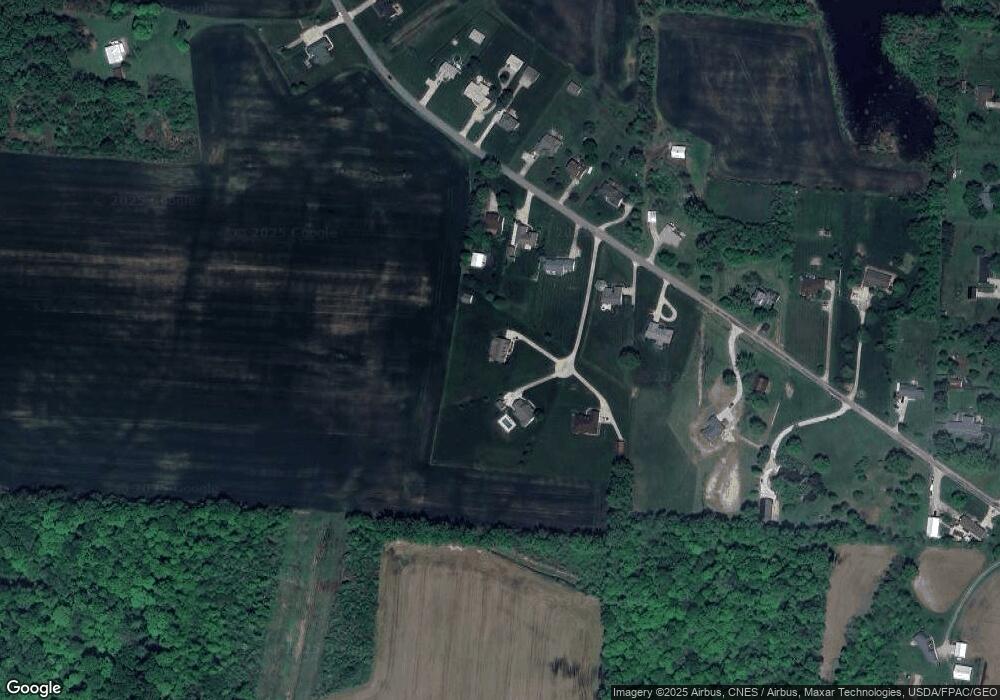
Map
Nearby Homes
- 224 Baltimore Somerset Rd NE
- 113 Circle Dr
- 101 Circle Dr
- 570 Baltimore Somerset Rd NE Unit Lot 1
- 214 E Cliff St
- 133 N Creekview Ct
- 132 N Creekview Ct
- 606 N Main St
- 1350 Leonard Rd NW
- 118 N Oak St
- 301 N Oak St
- 1502 Leonard Rd NW
- 308 N Basil St
- 409 N Basil St
- 111 N High St
- 0 S Company St Unit Lot 2 225029545
- 0 S Company St Unit Lot 1 225029543
- 238 N Company St
- 8061 Maple St
- 8095 High St
- 293 Holder Rd NE
- 295 Holder Rd NW
- 291 Holder Rd NW
- 271 Holder Rd NW
- 297 Holder Rd NW
- 299 Holder Rd NW
- 27 Holder Rd NE
- 0 Holder Rd NE
- 300 Holder Rd NW
- 290 Holder Rd NW
- 280 Holder Rd NW
- 270 Holder Rd NW
- 260 Holder Rd NW
- 256 Holder Rd NE
- 256 Holder Rd NW
- 108 Holder Rd NE
- 135 Holder Rd NE
- 235 Holder Rd NW
- 250 Holder Rd NW
- 0 Holder Rd