293 Horsley Crossing Amherst, VA 24521
Estimated Value: $283,000 - $452,352
3
Beds
2
Baths
1,500
Sq Ft
$237/Sq Ft
Est. Value
About This Home
This home is located at 293 Horsley Crossing, Amherst, VA 24521 and is currently estimated at $356,117, approximately $237 per square foot. 293 Horsley Crossing is a home with nearby schools including Pleasant View Elementary School, Amherst Middle School, and Amherst County High School.
Ownership History
Date
Name
Owned For
Owner Type
Purchase Details
Closed on
Nov 12, 2020
Sold by
Countryside Land Company Lc
Bought by
Kronenburg Kevin M and Kronenburg Jennifer J
Current Estimated Value
Purchase Details
Closed on
Oct 1, 2008
Sold by
Countryside Land Company Llc
Bought by
Worthington Kate E and Worthington Gillian
Home Financials for this Owner
Home Financials are based on the most recent Mortgage that was taken out on this home.
Original Mortgage
$113,985
Interest Rate
9%
Mortgage Type
Purchase Money Mortgage
Create a Home Valuation Report for This Property
The Home Valuation Report is an in-depth analysis detailing your home's value as well as a comparison with similar homes in the area
Home Values in the Area
Average Home Value in this Area
Purchase History
| Date | Buyer | Sale Price | Title Company |
|---|---|---|---|
| Kronenburg Kevin M | $75,000 | Linear Title & Escrow Llc | |
| Worthington Kate E | $126,650 | None Available |
Source: Public Records
Mortgage History
| Date | Status | Borrower | Loan Amount |
|---|---|---|---|
| Previous Owner | Worthington Kate E | $113,985 |
Source: Public Records
Tax History Compared to Growth
Tax History
| Year | Tax Paid | Tax Assessment Tax Assessment Total Assessment is a certain percentage of the fair market value that is determined by local assessors to be the total taxable value of land and additions on the property. | Land | Improvement |
|---|---|---|---|---|
| 2025 | $1,794 | $294,100 | $88,400 | $205,700 |
| 2024 | $1,794 | $294,100 | $88,400 | $205,700 |
| 2023 | $539 | $88,400 | $88,400 | $0 |
| 2022 | $539 | $88,400 | $88,400 | $0 |
| 2021 | $539 | $88,400 | $88,400 | $0 |
| 2020 | $539 | $88,400 | $88,400 | $0 |
| 2019 | $539 | $88,400 | $88,400 | $0 |
| 2018 | $539 | $88,400 | $88,400 | $0 |
| 2017 | $539 | $88,400 | $88,400 | $0 |
| 2016 | $539 | $88,400 | $88,400 | $0 |
| 2015 | $495 | $88,400 | $88,400 | $0 |
| 2014 | $495 | $88,400 | $88,400 | $0 |
Source: Public Records
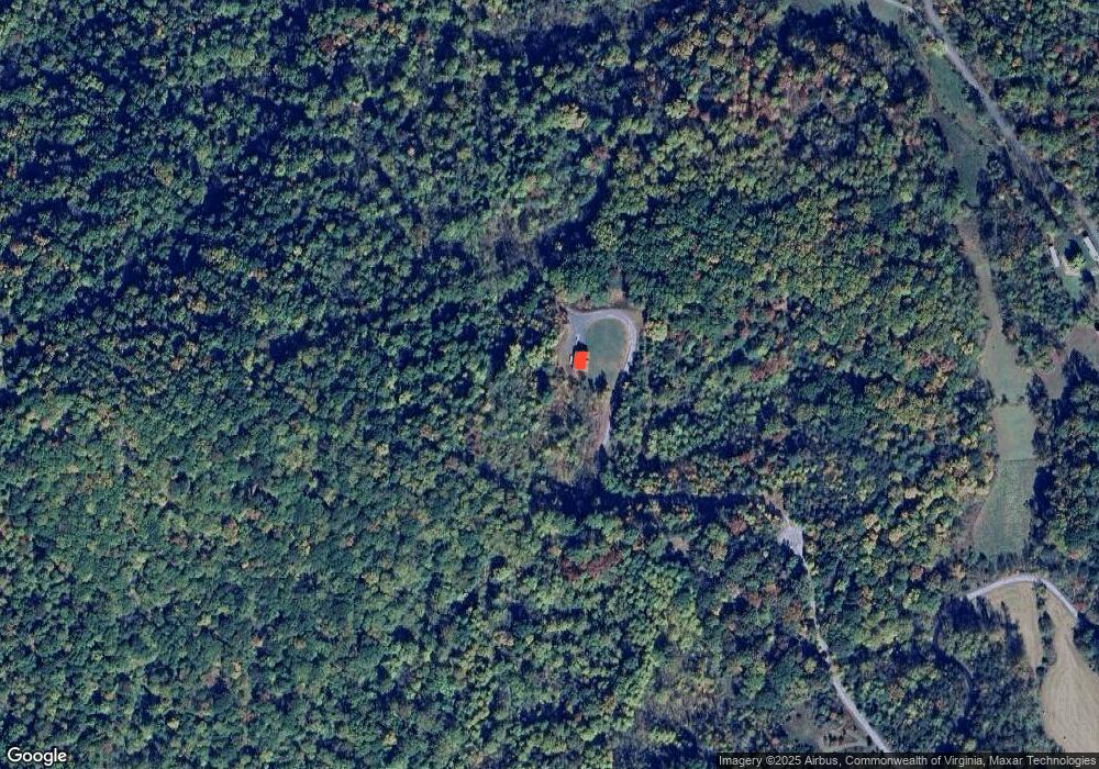
Map
Nearby Homes
- 0 Kersey Rd Unit 11504309
- 00 Kersey Rd
- 3523 Beverly Town Rd
- 0 W Perch Unit 362248
- 303 Harrison Creek Rd
- 0 Love Lady Creek Rd
- 0 Puppy Creek Rd
- 355 Dyson Rd
- 225 Opus Ln Unit 1 of 5 See Map
- tbd Wares Gap Rd
- 553 Gun Mountain Dr
- 12 Gun Mountain Dr
- 1343 Wares Gap Rd
- 549 Thrashers Creek Rd
- 0 Wares Gap Rd Unit 351733
- 7795 Lexington Turnpike
- 0 Lavender Ln
- 65-Acres Lavender Ln
- 2288 Lexington Turnpike
- 2294 High Peak Rd
- 591 Slapp Creek Rd
- 597 Slapp Creek Rd
- 539 Slapp Creek Rd
- 227 Horsley Crossing
- 509 Slapp Creek Rd
- 536 Slapp Creek Rd
- 532 Slapp Creek Rd
- 486 Slapp Creek Rd
- 516 Slapp Creek Rd
- 473 Slapp Creek Rd
- 203 Mountain Top Dr
- 119 Horsley Crossing
- 227 Mountain Top Dr
- 293 Mountain Top Dr
- 345 Slapp Creek Rd
- 389 Mountain Top Dr
- 289 Mt Top Rd
- 224 Mountain Top Dr
- 174 Sugar Hill Tunnel Rd
- 684 Slapp Creek Rd