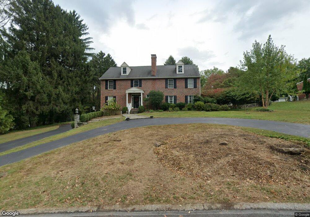
293 Horton Rd Newtown Square, PA 19073
Estimated Value: $1,038,000 - $1,453,000
4
Beds
5
Baths
4,636
Sq Ft
$259/Sq Ft
Est. Value
About This Home
This home is located at 293 Horton Rd, Newtown Square, PA 19073 and is currently estimated at $1,199,205, approximately $258 per square foot. 293 Horton Rd is a home located in Delaware County with nearby schools including Culbertson Elementary School, Paxon Hollow Middle School, and Marple Newtown Senior High School.
Ownership History
Date
Name
Owned For
Owner Type
Purchase Details
Closed on
Jul 15, 2005
Sold by
Fuss Daniel P and Fuss Joanne C
Bought by
Preston Christopher J and Gill Preston Catherine A
Current Estimated Value
Home Financials for this Owner
Home Financials are based on the most recent Mortgage that was taken out on this home.
Original Mortgage
$358,600
Outstanding Balance
$187,314
Interest Rate
5.67%
Mortgage Type
Fannie Mae Freddie Mac
Estimated Equity
$1,011,891
Purchase Details
Closed on
Oct 23, 2003
Sold by
Oneill John and Will Of Paul F Oneill
Bought by
Fuss Daniel P and Fuss Joanne C
Home Financials for this Owner
Home Financials are based on the most recent Mortgage that was taken out on this home.
Original Mortgage
$176,000
Interest Rate
6.09%
Mortgage Type
Purchase Money Mortgage
Create a Home Valuation Report for This Property
The Home Valuation Report is an in-depth analysis detailing your home's value as well as a comparison with similar homes in the area
Home Values in the Area
Average Home Value in this Area
Purchase History
| Date | Buyer | Sale Price | Title Company |
|---|---|---|---|
| Preston Christopher J | $759,380 | American Abstract Agency Inc | |
| Fuss Daniel P | $220,000 | -- |
Source: Public Records
Mortgage History
| Date | Status | Borrower | Loan Amount |
|---|---|---|---|
| Open | Preston Christopher J | $358,600 | |
| Previous Owner | Fuss Daniel P | $176,000 |
Source: Public Records
Tax History Compared to Growth
Tax History
| Year | Tax Paid | Tax Assessment Tax Assessment Total Assessment is a certain percentage of the fair market value that is determined by local assessors to be the total taxable value of land and additions on the property. | Land | Improvement |
|---|---|---|---|---|
| 2025 | $10,372 | $623,280 | $133,130 | $490,150 |
| 2024 | $10,372 | $623,280 | $133,130 | $490,150 |
| 2023 | $10,045 | $623,280 | $133,130 | $490,150 |
| 2022 | $9,825 | $623,280 | $133,130 | $490,150 |
| 2021 | $15,021 | $623,280 | $133,130 | $490,150 |
| 2020 | $11,264 | $410,625 | $71,030 | $339,595 |
| 2019 | $11,085 | $410,625 | $71,030 | $339,595 |
| 2018 | $10,964 | $410,625 | $0 | $0 |
| 2017 | $10,928 | $410,625 | $0 | $0 |
| 2016 | $2,254 | $410,625 | $0 | $0 |
| 2015 | $2,300 | $410,625 | $0 | $0 |
| 2014 | $2,300 | $410,625 | $0 | $0 |
Source: Public Records
Map
Nearby Homes
- 217 Jeffrey Ln
- 204 Wedgewood Cir
- 212 Aronimink Dr
- 3500 Goshen Rd
- 310 Jeffrey Ln
- 133 Brookside Rd
- 126 Bryn Mawr Ave
- 211 E Chelsea Cir
- 135 Bryn Mawr Ave
- 238 E Chelsea Cir Unit 238
- 202 Barren Rd
- 10 Bryn Mawr Ave
- 66 Northwood Rd
- 10 Fox Chase Cir
- 726 Darby Paoli Rd
- 31 Barren Rd
- 3111 Sawmill Rd
- 12 Lincoln Ln
- 115 Newby Dr
- 334 Foxtail Ln Unit 22D
- 289 Overbrook Dr
- 297 Horton Rd
- 288 Aronimink Dr
- 292 Aronimink Dr
- 3401 Horton Rd
- 3401 Horton Rd
- 285 Overbrook Dr
- 284 Aronimink Dr
- 288 Overbrook Dr
- 3403 Horton Rd
- 3404 Tyson Rd
- 281 Overbrook Dr
- 293 Aronimink Dr
- 284 Overbrook Dr
- 280 Aronimink Dr
- 3332 Goshen Rd
- 3405 Horton Rd
- 289 Aronimink Dr
- 3401 Tyson Rd
- 3406 Tyson Rd