Estimated Value: $160,000 - $228,000
2
Beds
1
Bath
960
Sq Ft
$192/Sq Ft
Est. Value
About This Home
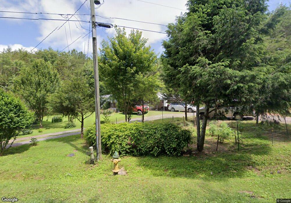
This home is located at 293 Long Rd, Rydal, GA 30171 and is currently estimated at $184,195, approximately $191 per square foot. 293 Long Rd is a home located in Bartow County with nearby schools including Pine Log Elementary School, Adairsville Middle School, and Adairsville High School.
Ownership History
Date
Name
Owned For
Owner Type
Purchase Details
Closed on
May 27, 2021
Sold by
Pm Shelters Llc
Bought by
Willingham Ashton
Current Estimated Value
Purchase Details
Closed on
Dec 31, 2009
Sold by
Pinson William L
Bought by
Pm Shelters
Purchase Details
Closed on
Sep 10, 2009
Sold by
Secretary Of Housing
Bought by
Pinson William Lamar
Purchase Details
Closed on
Dec 28, 2004
Sold by
Roland Mamie Jo
Bought by
Bearden Eric J
Create a Home Valuation Report for This Property
The Home Valuation Report is an in-depth analysis detailing your home's value as well as a comparison with similar homes in the area
Home Values in the Area
Average Home Value in this Area
Purchase History
| Date | Buyer | Sale Price | Title Company |
|---|---|---|---|
| Willingham Ashton | $95,000 | -- | |
| Pm Shelters | -- | -- | |
| Pinson William Lamar | $37,000 | -- | |
| Bearden Eric J | $62,500 | -- |
Source: Public Records
Tax History
| Year | Tax Paid | Tax Assessment Tax Assessment Total Assessment is a certain percentage of the fair market value that is determined by local assessors to be the total taxable value of land and additions on the property. | Land | Improvement |
|---|---|---|---|---|
| 2025 | $1,620 | $65,970 | $11,940 | $54,030 |
| 2024 | $1,620 | $64,400 | $11,940 | $52,460 |
| 2023 | $1,614 | $69,157 | $18,000 | $51,157 |
| 2022 | $1,004 | $54,541 | $18,000 | $36,541 |
| 2021 | $1,068 | $39,293 | $14,000 | $25,293 |
| 2020 | $939 | $33,293 | $8,000 | $25,293 |
| 2019 | $734 | $25,306 | $8,000 | $17,306 |
| 2018 | $715 | $24,494 | $8,000 | $16,494 |
| 2017 | $612 | $20,520 | $4,000 | $16,520 |
| 2016 | $622 | $20,520 | $4,000 | $16,520 |
| 2015 | $608 | $20,520 | $4,000 | $16,520 |
| 2014 | -- | $12,800 | $4,000 | $8,800 |
| 2013 | -- | $8,800 | $4,400 | $4,400 |
Source: Public Records
Map
Nearby Homes
- 0 Cagle Rd NE Unit 10603778
- 0 Cagle Rd NE Unit 7649098
- 158 Palisade Dr
- 115 Palisade Dr
- 152 Palisade Dr
- 157 Palisade Dr
- 798 Mount Pleasant Rd
- 141 Palisade Dr
- 131 Palisade Dr
- 0 Mount Pleasant Rd NE Unit 10671651
- 0 Mount Pleasant Rd NE Unit 7703854
- 125 Perry Rd
- 374 Folsom Glade Rd
- 0001 Bozeman Rd
- 0 Arnold Rd NE Unit LotWP001 20800228
- 300 Eminence Peak
- 301 Eminence Peak
- 151 Palisade Dr
- 122 Palisade Dr
- 0 Pine Hill Rd SE Unit RTC2927747
- 293 Long Rd
- 297 Long Rd
- 287 Long Rd
- 279 Long Rd
- 303 Long Rd
- 665 Mount Pleasant Rd
- 259 Long Rd
- 167 Cagle Rd NE
- 163 Cagle Rd NE
- 161 Cagle Rd NE Unit N/
- 161 Cagle Rd NE
- 159 Cagle Rd NE
- 657 Mount Pleasant Rd
- 158 Cagle Rd NE
- 000 Long Trail NE
- 00 Long Trail NE
- 0 Long Trail NE
- 0 Long Trail NE Unit 7156266
- 0 Long Trail NE Unit 7166231
- 0 Long Trail NE Unit 7166138
