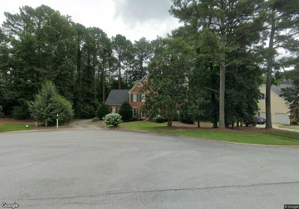
293 Milstead Ct Unit 2 Lawrenceville, GA 30043
Estimated Value: $465,000 - $510,000
4
Beds
3
Baths
2,815
Sq Ft
$174/Sq Ft
Est. Value
About This Home
This home is located at 293 Milstead Ct Unit 2, Lawrenceville, GA 30043 and is currently estimated at $491,029, approximately $174 per square foot. 293 Milstead Ct Unit 2 is a home located in Gwinnett County with nearby schools including Rock Springs Elementary School, Creekland Middle School, and Collins Hill High School.
Ownership History
Date
Name
Owned For
Owner Type
Purchase Details
Closed on
Jun 30, 2003
Sold by
Mosshart Michael R
Bought by
Anaya Ernest J and Anaya Rebecca
Current Estimated Value
Home Financials for this Owner
Home Financials are based on the most recent Mortgage that was taken out on this home.
Original Mortgage
$223,150
Outstanding Balance
$84,992
Interest Rate
3.88%
Mortgage Type
New Conventional
Estimated Equity
$406,037
Purchase Details
Closed on
Oct 17, 2001
Sold by
Wagner Virginia J
Bought by
Mosshart Michael R
Purchase Details
Closed on
Jun 15, 1998
Sold by
Falocco John and Falocco Minnie F
Bought by
Mosshart Michael R
Home Financials for this Owner
Home Financials are based on the most recent Mortgage that was taken out on this home.
Original Mortgage
$152,000
Interest Rate
7.14%
Mortgage Type
New Conventional
Create a Home Valuation Report for This Property
The Home Valuation Report is an in-depth analysis detailing your home's value as well as a comparison with similar homes in the area
Home Values in the Area
Average Home Value in this Area
Purchase History
| Date | Buyer | Sale Price | Title Company |
|---|---|---|---|
| Anaya Ernest J | $234,900 | -- | |
| Mosshart Michael R | -- | -- | |
| Mosshart Michael R | $190,000 | -- |
Source: Public Records
Mortgage History
| Date | Status | Borrower | Loan Amount |
|---|---|---|---|
| Open | Anaya Ernest J | $223,150 | |
| Previous Owner | Mosshart Michael R | $152,000 |
Source: Public Records
Tax History Compared to Growth
Tax History
| Year | Tax Paid | Tax Assessment Tax Assessment Total Assessment is a certain percentage of the fair market value that is determined by local assessors to be the total taxable value of land and additions on the property. | Land | Improvement |
|---|---|---|---|---|
| 2024 | $5,175 | $178,920 | $44,800 | $134,120 |
| 2023 | $5,175 | $165,240 | $37,600 | $127,640 |
| 2022 | $4,524 | $149,080 | $37,600 | $111,480 |
| 2021 | $4,039 | $122,720 | $29,800 | $92,920 |
| 2020 | $3,959 | $117,720 | $29,800 | $87,920 |
| 2019 | $3,845 | $117,720 | $29,800 | $87,920 |
| 2018 | $3,851 | $117,720 | $29,800 | $87,920 |
| 2016 | $3,379 | $95,040 | $21,320 | $73,720 |
| 2015 | $3,138 | $84,080 | $19,600 | $64,480 |
| 2014 | $3,154 | $84,080 | $19,600 | $64,480 |
Source: Public Records
Map
Nearby Homes
- 500 Meadowmeade Ln
- 2500 Ashbourne Dr
- 218 Oakmoor Ct
- 2359 Meadow Isle Ln Unit 6
- 2530 Ashbourne Dr
- 420 Woodbrook Way Unit 7
- 2542 Ashridge Ct
- 465 Woodbrook Way
- 2615 Ashbourne Dr NE
- 760 Woodrow Dr
- 2723 Herndon Rd NW
- 2723 Herndon Rd
- 2287 Lake Ridge Terrace
- 2166 Lake Ridge Terrace
- 2779 Lake Forest Trail
- 283 Heron Lake Ct Unit 16
- 2157 Young America Dr
- 279 Collins View Ct
- 283 Milstead Ct
- 303 Milstead Ct
- 379 Brookmeade Way
- 304 Milstead Ct Unit 2
- 378 Brookmeade Way Unit 32
- 378 Brookmeade Way
- 369 Brookmeade Way
- 273 Milstead Ct
- 294 Milstead Ct
- 284 Milstead Ct
- 0 Milstead Ct NE Unit 8260251
- 0 Milstead Ct NE Unit 8171175
- 0 Milstead Ct NE Unit 8757361
- 368 Brookmeade Way
- 264 Milstead Ct
- 2414 Meadow Isle Ln
- 2424 Meadow Isle Ln Unit 6
- 359 Brookmeade Way
- 263 Milstead Ct
- 263 Milstead Ct NE