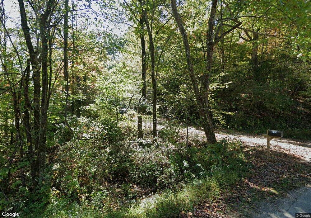
293 Mission Dam Rd Hayesville, NC 28904
Estimated Value: $324,105 - $354,000
2
Beds
2
Baths
1,320
Sq Ft
$259/Sq Ft
Est. Value
About This Home
This home is located at 293 Mission Dam Rd, Hayesville, NC 28904 and is currently estimated at $341,526, approximately $258 per square foot. 293 Mission Dam Rd is a home located in Clay County with nearby schools including Hayesville Elementary School, Hayesville Middle School, and Hayesville High School.
Ownership History
Date
Name
Owned For
Owner Type
Purchase Details
Closed on
Feb 24, 2025
Sold by
Strickland Jones Jr Robert
Bought by
Harkins John A
Current Estimated Value
Home Financials for this Owner
Home Financials are based on the most recent Mortgage that was taken out on this home.
Original Mortgage
$256,000
Outstanding Balance
$254,485
Interest Rate
6.93%
Mortgage Type
New Conventional
Estimated Equity
$87,041
Purchase Details
Closed on
May 10, 2010
Sold by
Mulam Lisa M
Bought by
Jones Robert Strickland
Create a Home Valuation Report for This Property
The Home Valuation Report is an in-depth analysis detailing your home's value as well as a comparison with similar homes in the area
Home Values in the Area
Average Home Value in this Area
Purchase History
| Date | Buyer | Sale Price | Title Company |
|---|---|---|---|
| Harkins John A | $320,000 | Solidifi Title | |
| Harkins John A | $320,000 | Solidifi Title | |
| Jones Robert Strickland | -- | -- |
Source: Public Records
Mortgage History
| Date | Status | Borrower | Loan Amount |
|---|---|---|---|
| Open | Harkins John A | $256,000 | |
| Closed | Harkins John A | $256,000 |
Source: Public Records
Tax History Compared to Growth
Tax History
| Year | Tax Paid | Tax Assessment Tax Assessment Total Assessment is a certain percentage of the fair market value that is determined by local assessors to be the total taxable value of land and additions on the property. | Land | Improvement |
|---|---|---|---|---|
| 2025 | $919 | $161,900 | $49,900 | $112,000 |
| 2024 | $919 | $161,900 | $49,900 | $112,000 |
| 2023 | $801 | $161,900 | $49,900 | $112,000 |
| 2022 | $801 | $161,900 | $49,900 | $112,000 |
| 2021 | $801 | $161,900 | $49,900 | $112,000 |
| 2020 | $801 | $161,900 | $49,900 | $112,000 |
| 2019 | $801 | $161,900 | $49,900 | $112,000 |
| 2018 | $801 | $161,900 | $49,900 | $112,000 |
| 2016 | -- | $228,607 | $124,687 | $103,920 |
| 2015 | -- | $228,607 | $124,687 | $103,920 |
| 2014 | -- | $228,607 | $124,687 | $103,920 |
Source: Public Records
Map
Nearby Homes
- 345 Mission Dam Rd
- 142 Mission Dam Rd
- 144 Mission Dam Rd
- 0 Trillium Heights Terrace Unit 38
- Lot 5 Ludlum Dr
- Lot 26 Trillium Hgts Dr
- Lot 4A Trillium Hgts Dr
- Lot 7 Trillium Hgts Dr
- LOT 7 Trillium Hgts Dr
- Lot 10 Trillium Hgts Dr
- LT 41 Nantahala Ln
- Lot 19 Mission Ridge Dr
- Lot 32 Mission Ridge Dr
- Lot 4A Trillium Hgts Dr
- 105 Mission Ridge Dr
- 156 Trillium Heights Trace
- 0000 Mission Ridge None
- LOT 5 Trillium Heights
- 123 Brittany Pointe
- 188 Shallowford Ln
- 51 River Run Way
- 92 Scenic Dr
- 174 Shallowford Ln
- 51 River Run Way
- 119 Brittany Point Unit 38
- 119 Brittany Point
- 119 Brittany Pointe
- 9 Big Rock Dr
- 0 River Run Way Unit 8
- 0 River Run Way Unit 248455
- 0 River Run Way Unit 108251
- 0 River Run Way Unit 8 8022343
- 44 Running River Trail
- 44 Running River Trail Unit Lot 44
- 202 Scenic Dr
- 143 River Run Way
- 118 Shallowford Ln
- TBD River Run Way
