293 S Fork Rd Yakima, WA 98903
Estimated Value: $258,000 - $376,000
2
Beds
2
Baths
1,760
Sq Ft
$173/Sq Ft
Est. Value
About This Home
This home is located at 293 S Fork Rd, Yakima, WA 98903 and is currently estimated at $304,934, approximately $173 per square foot. 293 S Fork Rd is a home located in Yakima County with nearby schools including Ahtanum Valley Elementary School, West Valley Middle School, and West Valley High School Freshman Campus.
Ownership History
Date
Name
Owned For
Owner Type
Purchase Details
Closed on
Sep 13, 2017
Sold by
Anderson Shanna R
Bought by
Smey Jody
Current Estimated Value
Purchase Details
Closed on
May 7, 2014
Sold by
Lind Lisa
Bought by
Anderson Shanna R
Purchase Details
Closed on
Sep 22, 2011
Sold by
Us Bank National Association
Bought by
Bishop Lisa
Purchase Details
Closed on
Aug 6, 2010
Sold by
Frisbie Jennine M and Mortgage Electronic Registrati
Bought by
Us Bank National Association
Purchase Details
Closed on
Nov 21, 2003
Sold by
Mcgahan Joy E
Bought by
Frisbie Jennine
Home Financials for this Owner
Home Financials are based on the most recent Mortgage that was taken out on this home.
Original Mortgage
$122,400
Interest Rate
6.45%
Mortgage Type
Purchase Money Mortgage
Create a Home Valuation Report for This Property
The Home Valuation Report is an in-depth analysis detailing your home's value as well as a comparison with similar homes in the area
Purchase History
| Date | Buyer | Sale Price | Title Company |
|---|---|---|---|
| Smey Jody | -- | None Available | |
| Anderson Shanna R | -- | None Available | |
| Bishop Lisa | $113,199 | Fidelity Title Company | |
| Us Bank National Association | $141,337 | Schreiner Title Company | |
| Frisbie Jennine | $153,000 | Fidelity Title Company |
Source: Public Records
Mortgage History
| Date | Status | Borrower | Loan Amount |
|---|---|---|---|
| Previous Owner | Frisbie Jennine | $122,400 | |
| Closed | Frisbie Jennine | $30,600 |
Source: Public Records
Tax History
| Year | Tax Paid | Tax Assessment Tax Assessment Total Assessment is a certain percentage of the fair market value that is determined by local assessors to be the total taxable value of land and additions on the property. | Land | Improvement |
|---|---|---|---|---|
| 2025 | $4,038 | $199,500 | $38,000 | $161,500 |
| 2023 | $1,945 | $168,500 | $38,000 | $130,500 |
| 2022 | $1,761 | $154,200 | $38,000 | $116,200 |
| 2021 | $5,768 | $144,800 | $38,000 | $106,800 |
| 2019 | $1,471 | $127,000 | $38,000 | $89,000 |
| 2018 | $1,617 | $119,800 | $38,000 | $81,800 |
| 2017 | $4,475 | $121,000 | $38,000 | $83,000 |
| 2016 | $1,593 | $121,500 | $38,500 | $83,000 |
| 2015 | $1,593 | $121,800 | $38,500 | $83,300 |
| 2014 | $1,593 | $111,250 | $38,650 | $72,600 |
| 2013 | $1,593 | $111,250 | $38,650 | $72,600 |
Source: Public Records
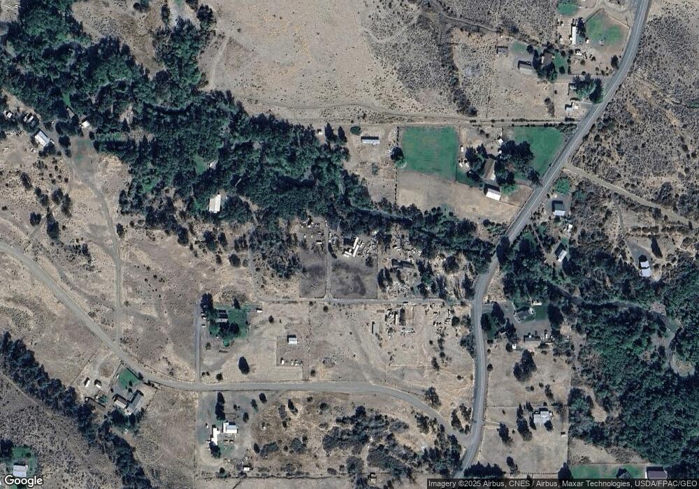
Map
Nearby Homes
- 511 S Fork Rd
- NNA N Fork-Lot-1 Ave
- NKA Ahtanum Rd
- 121 Tampico Park Rd
- 133 Mini Pines Rd
- 101 W Slavin Rd
- 6371 N Fork Rd
- NNA Unknown Ave
- NKA10 Windyheart Ln
- 0 Nasty Creek Unit NWM2134213
- NKA Red Tail Rd
- 511 E Pine Hollow Rd
- 270 Snowy Owl Ln
- 1861 N Cottonwood Rd
- 1799 N Cottonwood Rd
- 0 NKA Unassigned Rd
- 2920 Cook Rd
- NNA N Cottonwood Rd Unit Lot A (2008)
- NNA N Cottonwood Rd Unit Lot B (1407)
- NNA N Cottonwood Rd Unit Lot C (1415)
- 295 S Fork Rd
- 291 S Fork Rd
- 171 Aspen Springs Ln
- 171 S Fork Rd
- 6601 N Fork Rd
- 300 S Fork Rd
- 240 S Fork Rd
- 90 Aspen Springs Ln
- 101 S Fork Rd
- 131 S Fork Rd
- 141 S Fork Rd
- 170 Aspen Springs Ln
- 370 S Fork Rd
- 61 S Fork Rd
- 440 S Fork Rd
- 170 S Fork Rd
- 701 S Fork Rd
- 172 S Fork Rd
- 4 Lower Ahtanum Rd
- NKA N Fork Rd Unit Lot 2
Your Personal Tour Guide
Ask me questions while you tour the home.