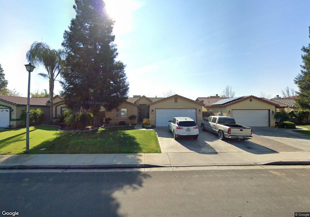
293 Tanner Michael Dr Bakersfield, CA 93308
North Country Meadows NeighborhoodEstimated Value: $305,000 - $367,000
About This Home
This home is located at 293 Tanner Michael Dr, Bakersfield, CA 93308 and is currently estimated at $338,402, approximately $255 per square foot. 293 Tanner Michael Dr is a home located in Kern County with nearby schools including Wingland Elementary School, Standard Middle School, and North High School.
Ownership History
We collect this data history from publicly available records. To have your information removed, we recommend requesting removal directly through your county’s website.
Purchase Details
Home Financials for this Owner
Home Financials are based on the most recent Mortgage that was taken out on this home.Purchase Details
Home Financials for this Owner
Home Financials are based on the most recent Mortgage that was taken out on this home.Purchase Details
Home Financials for this Owner
Home Financials are based on the most recent Mortgage that was taken out on this home.Purchase Details
Home Financials for this Owner
Home Financials are based on the most recent Mortgage that was taken out on this home.Purchase Details
Home Financials for this Owner
Home Financials are based on the most recent Mortgage that was taken out on this home.Home Values in the Area
Average Home Value in this Area
Purchase History
We collect this data history from publicly available records. To have your information removed, we recommend requesting removal directly through your county’s website.
| Date | Buyer | Sale Price | Title Company |
|---|---|---|---|
| -- | Solidifi Title | ||
| $170,000 | Placer Title Company | ||
| -- | Lawyers Title | ||
| $22,500 | American Title Co | ||
| $110,500 | American Title Co |
Mortgage History
We collect this data history from publicly available records. To have your information removed, we recommend requesting removal directly through your county’s website.
| Date | Status | Borrower | Loan Amount |
|---|---|---|---|
| Open | $161,000 | ||
| Closed | $136,000 | ||
| Closed | $115,500 | ||
| Previous Owner | $109,211 |
Tax History
We collect this data history from publicly available records. To have your information removed, we recommend requesting removal directly through your county’s website.
| Year | Tax Paid | Tax Assessment Tax Assessment Total Assessment is a certain percentage of the fair market value that is determined by local assessors to be the total taxable value of land and additions on the property. | Land | Improvement |
|---|---|---|---|---|
| 2025 | $3,533 | $197,293 | $58,026 | $139,267 |
| 2024 | $3,420 | $193,426 | $56,889 | $136,537 |
| 2023 | $3,420 | $189,634 | $55,774 | $133,860 |
| 2022 | $3,325 | $185,917 | $54,681 | $131,236 |
| 2021 | $3,222 | $182,272 | $53,609 | $128,663 |
| 2020 | $3,115 | $180,404 | $53,060 | $127,344 |
| 2019 | $3,076 | $180,404 | $53,060 | $127,344 |
| 2018 | $2,969 | $173,400 | $51,000 | $122,400 |
| 2017 | $2,955 | $170,000 | $50,000 | $120,000 |
| 2016 | $2,334 | $134,689 | $30,581 | $104,108 |
| 2015 | $2,298 | $132,667 | $30,122 | $102,545 |
| 2014 | $2,239 | $129,000 | $32,000 | $97,000 |
Map
- 221 Universe Ave
- 238 Tanner Michael Dr
- 258 Deep Creek Dr
- 283 Bighorn Meadow Dr
- 220 Galaxy Ave
- 503 Meadow Grove Ct
- 2525 N Chester Ave
- 524 Quail Rock Ave
- 2709 Peerless Ave
- 2812 Peerless Ave
- 108 Sunny Meadow Dr
- 3025 Peerless Ave
- 116 Circle Dr
- 113 Circle Dr
- 407 Brite Meadow Ct
- 3307 Pacer St
- 128 W Pilot Ave
- 2107 Mccray St
- 130 Highland Dr
- 419 Highland Dr
- 305 Tanner Michael Dr
- 309 Tanner Michael Dr
- 301 Tanner Michael Dr
- 313 Tanner Michael Dr
- 297 Tanner Michael Dr
- 317 Tanner Michael Dr
- 306 Tanner Michael Dr
- 302 Tanner Michael Dr
- 298 Tanner Michael Dr
- 321 Tanner Michael Dr
- 289 Tanner Michael Dr
- 294 Tanner Michael Dr
- 318 Tanner Michael Dr
- 325 Tanner Michael Dr
- 285 Tanner Michael Dr
- 290 Tanner Michael Dr
- 322 Tanner Michael Dr
- 307 Sherman Peak Dr
- 303 Sherman Peak Dr
- 299 Sherman Peak Dr
Ask me questions while you tour the home.