Estimated Value: $127,000 - $224,000
3
Beds
2
Baths
1,280
Sq Ft
$125/Sq Ft
Est. Value
About This Home
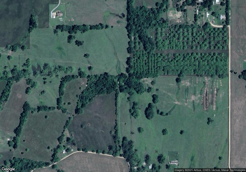
This home is located at 293 Tim Normand Rd, Effie, LA 71331 and is currently estimated at $159,667, approximately $124 per square foot. 293 Tim Normand Rd is a home located in Avoyelles Parish with nearby schools including Lafargue Elementary School and Marksville High School.
Ownership History
Date
Name
Owned For
Owner Type
Purchase Details
Closed on
Jan 12, 2011
Sold by
Guilbeau Joseph James
Bought by
Lang Ronald Keith and Lang Beverly Carol Robertson
Current Estimated Value
Home Financials for this Owner
Home Financials are based on the most recent Mortgage that was taken out on this home.
Original Mortgage
$65,000
Interest Rate
4.56%
Mortgage Type
New Conventional
Purchase Details
Closed on
May 13, 2008
Sold by
Desselle Derek Joshua
Bought by
Guilbeau Joseph James
Home Financials for this Owner
Home Financials are based on the most recent Mortgage that was taken out on this home.
Original Mortgage
$56,889
Interest Rate
5.89%
Mortgage Type
Future Advance Clause Open End Mortgage
Create a Home Valuation Report for This Property
The Home Valuation Report is an in-depth analysis detailing your home's value as well as a comparison with similar homes in the area
Purchase History
| Date | Buyer | Sale Price | Title Company |
|---|---|---|---|
| Lang Ronald Keith | $62,500 | None Available | |
| Guilbeau Joseph James | $55,000 | None Available |
Source: Public Records
Mortgage History
| Date | Status | Borrower | Loan Amount |
|---|---|---|---|
| Closed | Lang Ronald Keith | $65,000 | |
| Previous Owner | Guilbeau Joseph James | $56,889 |
Source: Public Records
Tax History
| Year | Tax Paid | Tax Assessment Tax Assessment Total Assessment is a certain percentage of the fair market value that is determined by local assessors to be the total taxable value of land and additions on the property. | Land | Improvement |
|---|---|---|---|---|
| 2024 | $181 | $2,330 | $830 | $1,500 |
| 2023 | $181 | $2,310 | $810 | $1,500 |
| 2022 | $181 | $2,310 | $810 | $1,500 |
| 2021 | $181 | $2,310 | $810 | $1,500 |
| 2019 | $116 | $1,000 | $500 | $500 |
| 2018 | $116 | $1,000 | $500 | $500 |
| 2017 | $116 | $1,000 | $500 | $500 |
| 2015 | $115 | $1,000 | $500 | $500 |
| 2013 | $115 | $1,180 | $680 | $500 |
Source: Public Records
Map
Nearby Homes
- 3882 3904 Highway 452 Hwy
- 3598 Highway 452
- 3598 Highway 452 None
- 3504 Louisiana 452
- 145 Tc Froust Rd
- 460 Isaac Brouillette Rd
- 5074 Highway 452 None
- 0 Highway 107 None
- 185 Pete Wilkes Rd
- 1490 Highway 452
- 141 Mckay Ln
- 688 Gum Ridge Rd
- 426 Highway 1192
- 4137 Highway 1192 None
- 236 Gum Ridge Rd
- 0 Anthony Grundy Rd
- 794 Beauregard Landry Rd
- 0 Cassandra Rd
- 105 Hilda Ln
- 301 Oak St
- 401 M Cole Rd
- 331 Tim Normand Rd
- 498 M Cole Rd
- 564 M Cole Rd
- 616 M Cole Rd
- 674 M Cole Rd
- 636 M Cole Rd
- 664 M Cole Rd
- 0 M Cole Rd Unit 2024013018
- 0 M Cole Rd
- 754 M Cole Rd
- 120 Mcgraw Ln
- 561 M Cole Rd Unit LOT2
- 561 M Cole Rd
- 706 M Cole Rd
- 3233 Highway 1196
- 722 M Cole Rd
- 211 Tim Normand Rd
- 143 Mcgraw Ln
- 3281 Highway 1196
Your Personal Tour Guide
Ask me questions while you tour the home.
