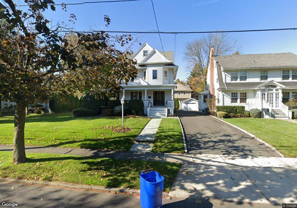
293 Whitford Ave Nutley, NJ 07110
Estimated Value: $828,000 - $997,000
--
Bed
--
Bath
2,767
Sq Ft
$338/Sq Ft
Est. Value
About This Home
This home is located at 293 Whitford Ave, Nutley, NJ 07110 and is currently estimated at $934,265, approximately $337 per square foot. 293 Whitford Ave is a home located in Essex County with nearby schools including Nutley High School, Abundant Life Academy, and St Clare Elementary School.
Ownership History
Date
Name
Owned For
Owner Type
Purchase Details
Closed on
Mar 12, 2004
Sold by
Greene Hal
Bought by
Freda Robert and Freda Karen
Current Estimated Value
Home Financials for this Owner
Home Financials are based on the most recent Mortgage that was taken out on this home.
Original Mortgage
$250,000
Interest Rate
5.88%
Purchase Details
Closed on
Jun 17, 1994
Sold by
Cox James
Bought by
Greene Hal
Home Financials for this Owner
Home Financials are based on the most recent Mortgage that was taken out on this home.
Original Mortgage
$220,000
Interest Rate
8.25%
Create a Home Valuation Report for This Property
The Home Valuation Report is an in-depth analysis detailing your home's value as well as a comparison with similar homes in the area
Home Values in the Area
Average Home Value in this Area
Purchase History
| Date | Buyer | Sale Price | Title Company |
|---|---|---|---|
| Freda Robert | $630,000 | -- | |
| Greene Hal | $275,000 | -- |
Source: Public Records
Mortgage History
| Date | Status | Borrower | Loan Amount |
|---|---|---|---|
| Previous Owner | Freda Robert | $250,000 | |
| Previous Owner | Greene Hal | $220,000 |
Source: Public Records
Tax History Compared to Growth
Tax History
| Year | Tax Paid | Tax Assessment Tax Assessment Total Assessment is a certain percentage of the fair market value that is determined by local assessors to be the total taxable value of land and additions on the property. | Land | Improvement |
|---|---|---|---|---|
| 2025 | $20,271 | $786,900 | $286,300 | $500,600 |
| 2024 | $20,271 | $786,900 | $286,300 | $500,600 |
| 2022 | $23,408 | $605,800 | $191,300 | $414,500 |
| 2021 | $23,287 | $605,800 | $191,300 | $414,500 |
| 2020 | $22,306 | $605,800 | $191,300 | $414,500 |
| 2019 | $21,857 | $605,800 | $191,300 | $414,500 |
| 2018 | $21,270 | $605,800 | $191,300 | $414,500 |
| 2017 | $21,039 | $605,800 | $191,300 | $414,500 |
| 2016 | $20,415 | $605,800 | $191,300 | $414,500 |
| 2015 | $20,088 | $605,800 | $191,300 | $414,500 |
| 2014 | $19,834 | $605,800 | $191,300 | $414,500 |
Source: Public Records
Map
Nearby Homes
- 295 Whitford Ave
- 287 Whitford Ave
- 299 Whitford Ave
- 540 Passaic Ave
- 530 Passaic Ave
- 528 Passaic Ave
- 305 Whitford Ave
- 296 Whitford Ave
- 292 Whitford Ave
- 522 Passaic Ave
- 284 Whitford Ave
- 550 Passaic Ave
- 302 Whitford Ave
- 54 Brookfield Ave
- 280 Whitford Ave
- 276 Whitford Ave
- 64 Brookfield Ave
- 40 Brookfield Ave
- 269 Rutgers Place
- 280 Rutgers Place