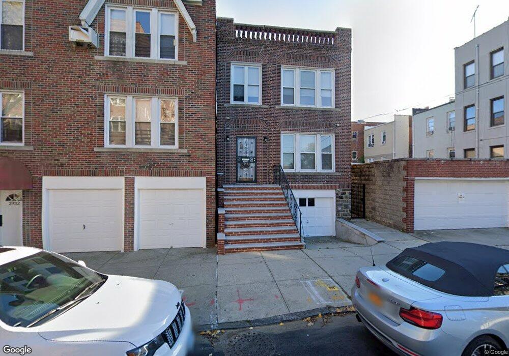
2930 E 194th St Bronx, NY 10461
Middletown-Pelham Bay NeighborhoodEstimated Value: $1,078,000 - $1,358,000
4
Beds
4
Baths
3,200
Sq Ft
$380/Sq Ft
Est. Value
About This Home
This home is located at 2930 E 194th St, Bronx, NY 10461 and is currently estimated at $1,217,240, approximately $380 per square foot. 2930 E 194th St is a home located in Bronx County with nearby schools including P.S. 71 Rose E Scala, Herbert H Lehman High School, and Icahn Charter School 3.
Ownership History
Date
Name
Owned For
Owner Type
Purchase Details
Closed on
Jan 17, 2020
Sold by
Elizabeth Ann Alfano Irrevocable Residen
Bought by
Mei Xiaofei
Current Estimated Value
Home Financials for this Owner
Home Financials are based on the most recent Mortgage that was taken out on this home.
Original Mortgage
$601,000
Outstanding Balance
$532,334
Interest Rate
3.73%
Mortgage Type
Unknown
Estimated Equity
$684,906
Purchase Details
Closed on
Apr 30, 2018
Sold by
Alfano Elizabeth Ann and Biagio Frank Alfano
Bought by
Elizabeth Ann Alfano Irrevocable Residen and Linda Bonaccolta As Co-Trustee
Create a Home Valuation Report for This Property
The Home Valuation Report is an in-depth analysis detailing your home's value as well as a comparison with similar homes in the area
Home Values in the Area
Average Home Value in this Area
Purchase History
| Date | Buyer | Sale Price | Title Company |
|---|---|---|---|
| Mei Xiaofei | $980,000 | -- | |
| Elizabeth Ann Alfano Irrevocable Residen | -- | -- |
Source: Public Records
Mortgage History
| Date | Status | Borrower | Loan Amount |
|---|---|---|---|
| Open | Mei Xiaofei | $601,000 |
Source: Public Records
Tax History
| Year | Tax Paid | Tax Assessment Tax Assessment Total Assessment is a certain percentage of the fair market value that is determined by local assessors to be the total taxable value of land and additions on the property. | Land | Improvement |
|---|---|---|---|---|
| 2025 | $15,297 | $122,356 | $23,080 | $99,276 |
| 2024 | $15,297 | $122,356 | $25,890 | $96,466 |
| 2023 | $14,532 | $118,465 | $27,718 | $90,747 |
| 2022 | $13,427 | $245,700 | $65,700 | $180,000 |
| 2021 | $0 | $249,750 | $65,700 | $184,050 |
| 2020 | $11,740 | $274,050 | $65,700 | $208,350 |
| 2019 | $11,870 | $259,740 | $65,700 | $194,040 |
| 2018 | $11,590 | $91,127 | $27,660 | $63,467 |
| 2017 | $10,737 | $84,418 | $29,137 | $55,281 |
| 2016 | $10,081 | $78,192 | $28,683 | $49,509 |
| 2015 | $6,542 | $72,400 | $26,229 | $46,171 |
| 2014 | $6,542 | $72,400 | $31,089 | $41,311 |
Source: Public Records
Map
Nearby Homes
- 2931 Wilkinson Ave
- 2010 Hobart Ave
- 2024 Continental Ave
- 2032 Hobart Ave
- 2015 St Paul Ave Unit 3G
- 2015 Saint Paul Ave Unit 5F
- 2015 Saint Paul Ave Unit 6B
- 2887 E 194th St
- 2054 Saint Paul Ave
- 1950 Pilgrim Ave
- 2849 E 195th St
- 1874 Pelham Pkwy S Unit 5C
- 1874 Pelham Pkwy S Unit 6M
- 1874 Pelham Pkwy S Unit 5B
- 1874 Pelham Pkwy S Unit 6E
- 1874 Pelham Pkwy S Unit 4R
- 2027 Mayflower Ave
- 1813 Willow Ln
- 1910 Pelham Pkwy S Unit 3G
- 1910 Pelham Pkwy S Unit 5C
- 2930 E 194 St
- 2932 E 194th St
- 2012 Hobart Ave
- 2936 E 194th St
- 2924 E 194th St
- 2008 Hobart Ave
- 2010 Hobart Ave Unit 1
- 2010 Hobart Ave
- 2006 Hobart Ave
- 2933 Wilkinson Ave
- 2004 Hobart Ave
- 2935 Wilkinson Ave
- 2940 E 194th St Unit 1
- 2940 E 194th St
- 2937 Wilkinson Ave
- 2024 Hobart Ave
- 2002 Hobart Ave
- 3205-3207 Westchester Ave
- 3203 Westchester Ave
- 2025 Continental Ave