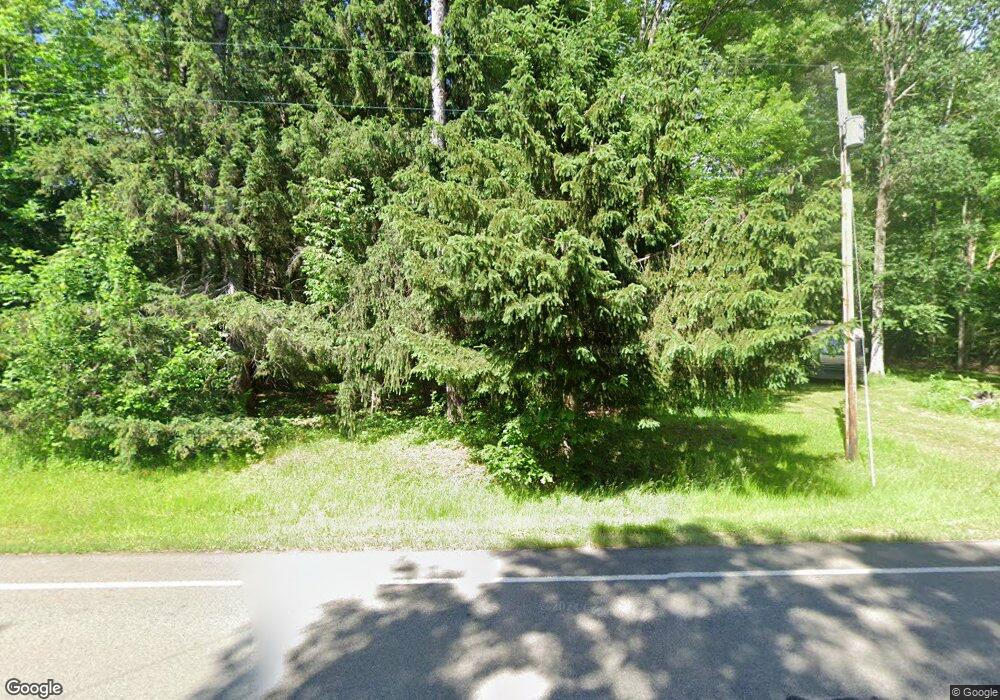
2930 Route 426 Spring Creek, PA 16436
Estimated Value: $85,000 - $191,000
3
Beds
2
Baths
1,000
Sq Ft
$121/Sq Ft
Est. Value
About This Home
This home is located at 2930 Route 426, Spring Creek, PA 16436 and is currently estimated at $121,168, approximately $121 per square foot. 2930 Route 426 is a home with nearby schools including Corry Area Primary School, Corry Area Intermediate School, and Corry Area Middle School.
Ownership History
Date
Name
Owned For
Owner Type
Purchase Details
Closed on
Jul 16, 2018
Sold by
Hendrickson James A and Hendrickson Jennifer W
Bought by
Burdette Bobby J
Current Estimated Value
Home Financials for this Owner
Home Financials are based on the most recent Mortgage that was taken out on this home.
Original Mortgage
$66,500
Outstanding Balance
$57,760
Interest Rate
4.6%
Mortgage Type
New Conventional
Estimated Equity
$63,408
Purchase Details
Closed on
Sep 17, 1991
Bought by
Hendrickson James A
Create a Home Valuation Report for This Property
The Home Valuation Report is an in-depth analysis detailing your home's value as well as a comparison with similar homes in the area
Home Values in the Area
Average Home Value in this Area
Purchase History
| Date | Buyer | Sale Price | Title Company |
|---|---|---|---|
| Burdette Bobby J | $70,000 | Settlement Engine Inc | |
| Hendrickson James A | $3,300 | -- |
Source: Public Records
Mortgage History
| Date | Status | Borrower | Loan Amount |
|---|---|---|---|
| Open | Burdette Bobby J | $66,500 |
Source: Public Records
Tax History Compared to Growth
Tax History
| Year | Tax Paid | Tax Assessment Tax Assessment Total Assessment is a certain percentage of the fair market value that is determined by local assessors to be the total taxable value of land and additions on the property. | Land | Improvement |
|---|---|---|---|---|
| 2024 | $1,397 | $15,167 | $2,367 | $12,800 |
| 2023 | $1,336 | $15,167 | $2,367 | $12,800 |
| 2022 | $1,322 | $15,167 | $2,367 | $12,800 |
| 2021 | $1,329 | $15,167 | $2,367 | $12,800 |
| 2020 | $1,309 | $15,167 | $2,367 | $12,800 |
| 2019 | $1,255 | $15,167 | $2,367 | $12,800 |
| 2018 | $1,289 | $15,167 | $2,367 | $12,800 |
| 2017 | $1,224 | $15,167 | $2,367 | $12,800 |
| 2016 | $1,198 | $15,167 | $0 | $0 |
| 2015 | -- | $15,167 | $0 | $0 |
| 2014 | -- | $15,167 | $0 | $0 |
| 2013 | -- | $15,167 | $2,367 | $12,800 |
Source: Public Records
Map
Nearby Homes
- 115 Extension Rd
- 0 Tubbs Rd
- 323 Taylor Rd
- 1975 Abraham Hollow Rd
- 355 Main St
- 15 Carriage Dr
- 1347 Mead Run Rd
- 28952 U S 6
- 480 Newton Rd
- 81 Hickory Hill Ln
- 9401 Route 27
- 2241 Matthews Run Rd
- 226 W Main St
- 00 Buckley Rd
- 18 6th St
- 00 Buckley Rd Lot Unit WP001
- 44 W Main St
- 11 Highland Ave
- 1181 Brown Hill Rd
- 7720 Davey Hill Rd
- 2930 Pennsylvania 426
- 2970 Route 426
- 247 Chappy Rd
- 2882 Route 426
- 184 Chappy Rd
- 2864 Route 426
- 3024 Route 426
- 2846 Route 426
- 304 Chappy Rd
- 326 Chappy Rd
- 645 Horn Siding Ln
- 103 Horn Siding Ln
- 569 Horn Siding Ln
- 65 Horn Siding Ln
- 55 Horn Siding Ln
- 135 Horn Siding Ln
- 185 Horn Siding Ln
- 239 Horn Siding Ln
- 457 Horn Siding Ln
- 269 Horn Siding Ln
