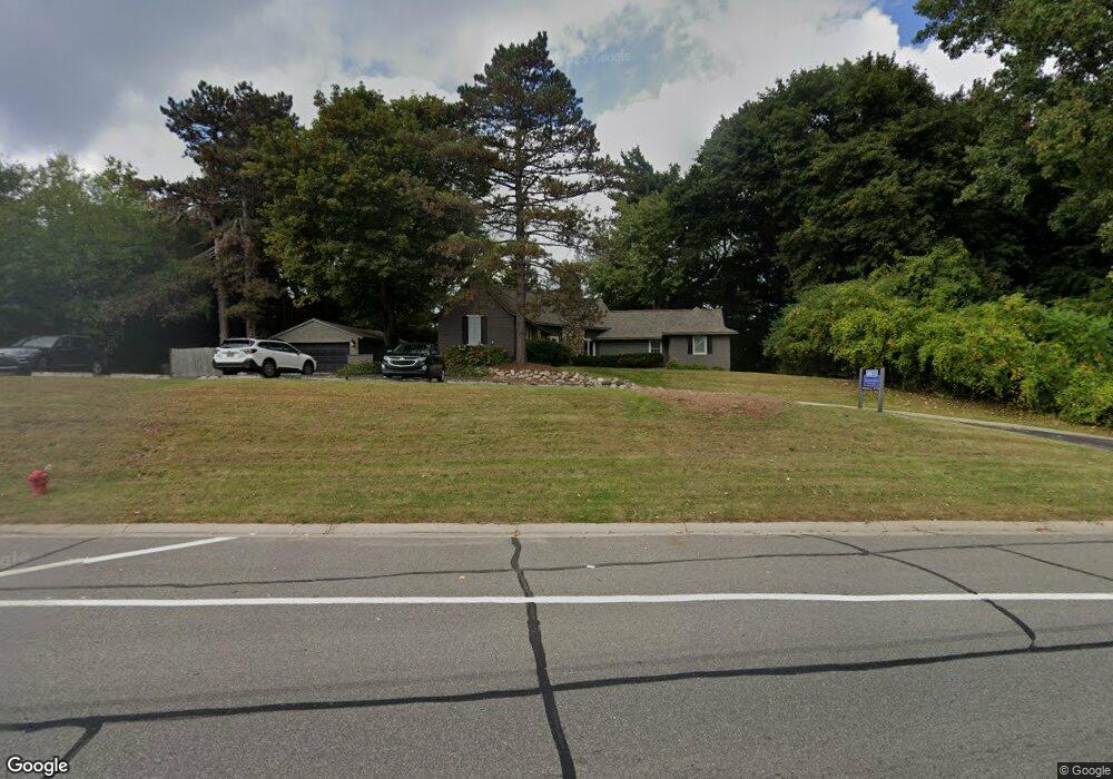
2930 S Telegraph Rd Bloomfield Hills, MI 48302
Estimated Value: $373,000 - $709,000
3
Beds
3
Baths
1,818
Sq Ft
$257/Sq Ft
Est. Value
About This Home
This home is located at 2930 S Telegraph Rd, Bloomfield Hills, MI 48302 and is currently estimated at $467,061, approximately $256 per square foot. 2930 S Telegraph Rd is a home located in Oakland County with nearby schools including Way Elementary School, South Hills Middle School, and Bloomfield Hills High School.
Ownership History
Date
Name
Owned For
Owner Type
Purchase Details
Closed on
May 9, 2012
Sold by
Amended Lonny J Biggeser and Revo Restated
Bought by
2930 Telegraph Llc
Current Estimated Value
Purchase Details
Closed on
Jul 19, 2005
Sold by
Binggeser Otto E and Binggeser Lonny J
Bought by
Binggeser Lonny J and Lonny J Binggeser Amended & Restated Rev
Create a Home Valuation Report for This Property
The Home Valuation Report is an in-depth analysis detailing your home's value as well as a comparison with similar homes in the area
Home Values in the Area
Average Home Value in this Area
Purchase History
| Date | Buyer | Sale Price | Title Company |
|---|---|---|---|
| 2930 Telegraph Llc | $155,000 | None Available | |
| Binggeser Lonny J | -- | -- |
Source: Public Records
Tax History Compared to Growth
Tax History
| Year | Tax Paid | Tax Assessment Tax Assessment Total Assessment is a certain percentage of the fair market value that is determined by local assessors to be the total taxable value of land and additions on the property. | Land | Improvement |
|---|---|---|---|---|
| 2024 | $2,489 | $107,840 | $0 | $0 |
| 2023 | $2,374 | $106,030 | $0 | $0 |
| 2022 | $4,449 | $99,190 | $0 | $0 |
| 2021 | $4,332 | $109,720 | $0 | $0 |
| 2020 | $2,093 | $106,800 | $0 | $0 |
| 2019 | $4,067 | $101,080 | $0 | $0 |
| 2018 | $3,987 | $96,860 | $0 | $0 |
| 2017 | $3,925 | $92,140 | $0 | $0 |
| 2016 | $3,913 | $82,510 | $0 | $0 |
| 2015 | -- | $79,550 | $0 | $0 |
| 2014 | -- | $78,750 | $0 | $0 |
| 2011 | -- | $95,030 | $0 | $0 |
Source: Public Records
Map
Nearby Homes
- 2875 Rambling Way
- 2851 Franklin Rd
- 3060 Chickering Ln
- 2863 Meadowood Ln
- 1250 Club Dr
- 425 Kendry
- 363 Sycamore Ct
- 3435 Devon Brook Dr
- 3403 Chickering Ln
- 3627 Shallow Brook Dr
- 3515 Brookside Dr
- 164 Timber Trace Ln
- 3531 Brookside Dr
- 240 Applewood Ln
- 830 N Pemberton Rd
- 284 Woodwind Dr
- 2665 Lahser Rd
- 0000 Franklin Rd
- 00 Mohawk Ct
- 2668 Turtle Lake
- 2951 Acorn Rd
- VL Hickory Grove
- 2971 Acorn Rd
- vl Hickory Grove Rd
- 2941 Acorn Rd
- 2848 Rossmoor Cir
- 2931 Acorn Rd
- 10+ Telegraph
- 2960 Acorn Rd
- 2940 Acorn Rd
- 3021 East Ridge Ct
- 3021 East Ridge Ct
- 3023 East Ridge Ct
- 3029 E Ridge Ct
- 2854 Rossmoor Cir
- 2853 Rossmoor Cir
- 3019 East Ridge Ct
- 2920 Acorn Rd
- 3018 West Ridge Ct
- 3018 W Ridge Ct