29304 E Pink Hill Rd Grain Valley, MO 64029
Estimated Value: $607,000 - $1,094,747
4
Beds
6
Baths
4,540
Sq Ft
$180/Sq Ft
Est. Value
About This Home
This home is located at 29304 E Pink Hill Rd, Grain Valley, MO 64029 and is currently estimated at $816,582, approximately $179 per square foot. 29304 E Pink Hill Rd is a home located in Jackson County with nearby schools including Grain Valley High School and St John Lalande School.
Ownership History
Date
Name
Owned For
Owner Type
Purchase Details
Closed on
Oct 15, 1998
Sold by
Forest Haven North Homes Assn Inc
Bought by
Meyer Russell E and Meyer Sheila J
Current Estimated Value
Purchase Details
Closed on
Mar 29, 1996
Sold by
Meyer Russell E and Meyer Sheila J
Bought by
Meyer Russell E and Meyer Sheila J
Purchase Details
Closed on
Jan 24, 1996
Sold by
Meyer Russell E and Meyer Sheila J
Bought by
Meyer Russell E and Meyer Sheila J
Create a Home Valuation Report for This Property
The Home Valuation Report is an in-depth analysis detailing your home's value as well as a comparison with similar homes in the area
Home Values in the Area
Average Home Value in this Area
Purchase History
| Date | Buyer | Sale Price | Title Company |
|---|---|---|---|
| Meyer Russell E | -- | -- | |
| Meyer Russell E | -- | -- | |
| Meyer Russell E | -- | -- | |
| Meyer Russell E | -- | -- |
Source: Public Records
Tax History Compared to Growth
Tax History
| Year | Tax Paid | Tax Assessment Tax Assessment Total Assessment is a certain percentage of the fair market value that is determined by local assessors to be the total taxable value of land and additions on the property. | Land | Improvement |
|---|---|---|---|---|
| 2025 | $11,321 | $141,970 | $13,963 | $128,007 |
| 2024 | $10,850 | $158,380 | $32,355 | $126,025 |
| 2023 | $10,850 | $158,380 | $18,409 | $139,971 |
| 2022 | $8,175 | $107,350 | $35,029 | $72,321 |
| 2021 | $7,948 | $107,350 | $35,029 | $72,321 |
| 2020 | $7,534 | $102,151 | $35,029 | $67,122 |
| 2019 | $7,348 | $102,151 | $35,029 | $67,122 |
| 2018 | $6,320 | $82,291 | $30,487 | $51,804 |
| 2017 | $6,320 | $82,291 | $30,487 | $51,804 |
| 2016 | $6,158 | $80,229 | $8,740 | $71,489 |
| 2014 | $6,210 | $80,229 | $8,740 | $71,489 |
Source: Public Records
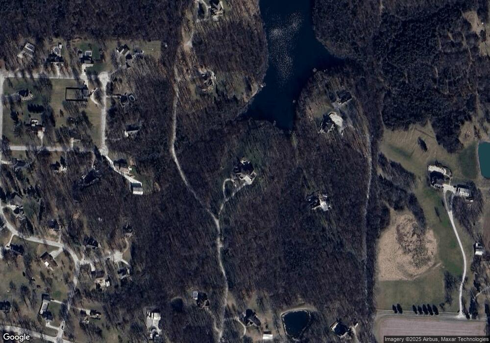
Map
Nearby Homes
- 1406 NE Hunters Ct
- 2332 NE Andromada Ct
- 2376 NE Skopelos Ct
- 1204 NE Quail Walk Dr
- 2367 NE Skopelos Ct
- 2373 NE Colonnade Ave
- 2369 NE Colonnade Ave
- 1320 NE Quail Walk Dr
- 2360 NE Colonnade Ave
- 2353 NE Colonnade Ave
- 2352 NE Colonnade Ave
- 2345 NE Colonnade Ave
- 2400 NE Porter Rd
- 2341 NE Colonnade Ave
- 2344 NE Colonnade Ave
- 2309 NE 23rd St
- 2340 NE Colonnade Ave
- 2372 NE Colonnade Ave
- 2304 NE 23rd St
- 2237 NE Maybrook Dr
- 29500 E Pink Hill Rd
- 29302 E Pink Hill Rd
- 29502 E Pink Hill Rd
- 3223 Beth Ct
- 29101 E Beth Ct
- 29104 E Trent Ct
- 29208 E Pink Hill Rd
- 29504 E Pink Hill Rd
- 3217 Beth Ct
- 29400 E Pink Hill Rd
- 29011 E Beth Ct
- 29105 E Trent Ct
- 29100 E Beth Ct
- 29006 E Trent Ct
- 29004 E Beth Ct
- 29300 E Pink Hill Rd
- 3216 Beth Ct
- 29011 E Trent Ct
- 29001 E Beth Ct
- 29108 E Pink Hill Rd