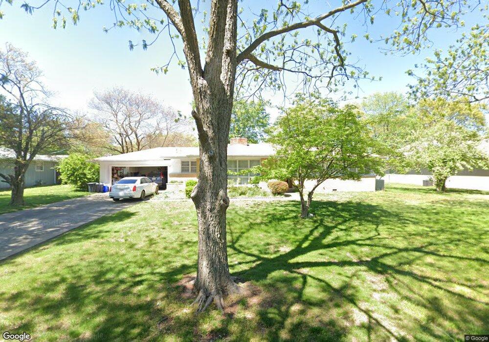
2931 E Portland St Springfield, MO 65804
Oak Grove NeighborhoodEstimated Value: $236,000 - $247,109
4
Beds
3
Baths
1,754
Sq Ft
$136/Sq Ft
Est. Value
About This Home
This home is located at 2931 E Portland St, Springfield, MO 65804 and is currently estimated at $238,777, approximately $136 per square foot. 2931 E Portland St is a home located in Greene County with nearby schools including Pittman Elementary School, Hickory Hills K-8 School, and Glendale High School.
Ownership History
Date
Name
Owned For
Owner Type
Purchase Details
Closed on
Jul 11, 2007
Sold by
Lawrence Curtis P and Lawrence Bianca P
Bought by
Darnold John R and Darnold Leane A
Current Estimated Value
Home Financials for this Owner
Home Financials are based on the most recent Mortgage that was taken out on this home.
Original Mortgage
$109,250
Outstanding Balance
$69,030
Interest Rate
6.71%
Mortgage Type
New Conventional
Estimated Equity
$169,747
Create a Home Valuation Report for This Property
The Home Valuation Report is an in-depth analysis detailing your home's value as well as a comparison with similar homes in the area
Home Values in the Area
Average Home Value in this Area
Purchase History
| Date | Buyer | Sale Price | Title Company |
|---|---|---|---|
| Darnold John R | -- | None Available |
Source: Public Records
Mortgage History
| Date | Status | Borrower | Loan Amount |
|---|---|---|---|
| Open | Darnold John R | $109,250 |
Source: Public Records
Tax History
| Year | Tax Paid | Tax Assessment Tax Assessment Total Assessment is a certain percentage of the fair market value that is determined by local assessors to be the total taxable value of land and additions on the property. | Land | Improvement |
|---|---|---|---|---|
| 2025 | $1,489 | $29,890 | $5,700 | $24,190 |
| 2024 | $1,084 | $20,200 | $4,750 | $15,450 |
| 2023 | $1,078 | $20,200 | $4,750 | $15,450 |
| 2022 | $1,027 | $18,810 | $4,750 | $14,060 |
| 2021 | $1,027 | $18,810 | $4,750 | $14,060 |
| 2020 | $1,008 | $17,650 | $4,750 | $12,900 |
| 2019 | $980 | $17,650 | $4,750 | $12,900 |
| 2018 | $815 | $14,690 | $3,800 | $10,890 |
| 2017 | $807 | $14,270 | $3,800 | $10,470 |
| 2016 | $782 | $14,270 | $3,800 | $10,470 |
| 2015 | $775 | $14,270 | $3,800 | $10,470 |
| 2014 | $755 | $13,810 | $3,800 | $10,010 |
Source: Public Records
Map
Nearby Homes
- 2917 E Portland St
- 1305 S Prince Ln
- 2648 E Portland St
- 1634 S Saint Charles Ave
- 1650 S Saint Charles Ave
- 1253 S Belcrest Ave
- 1249 S Belcrest Ave
- 3005 E Eastmoor Ct
- 1901 S Sieger Dr
- 1910 S Saratoga Ave
- 1702 S Oak Grove Ave
- 1911 S Saratoga Ave
- 1240 S Arcadia Ave
- 2534 E Linwood St
- 1967 S Saint Charles Ave
- 3165 E Topping Cir
- 3438 E Carol Dr
- 1124 S Bruce Ave
- 2504 E Verona St
- 2118 S Catalina Ave
- 2941 E Portland St
- 2925 E Portland St
- 2936 E Linwood St
- 2930 E Linwood St
- 2944 E Linwood St
- 2924 E Linwood St
- 2928 E Portland St
- 2938 E Portland St
- 2951 E Portland St
- 2952 E Linwood St
- 2924 E Portland St
- 2944 E Portland St
- 2916 E Linwood St
- 2916 E Portland St
- 2958 E Linwood St
- 2905 E Portland St
- 2952 E Portland St
- 2961 E Portland St
- 2908 E Linwood St
- 2906 E Portland St
Your Personal Tour Guide
Ask me questions while you tour the home.